Directions
From Santa Fe, south on I-25 to exit 264, west on Highway 16 and north on Cochiti Highway (Hwy 22). From Albuquerque, north on I-25 to exit 259, northwest on Highway 22.
Phone
(505) 465-0307
Activities
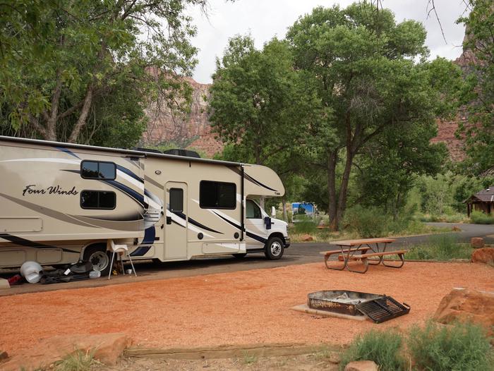
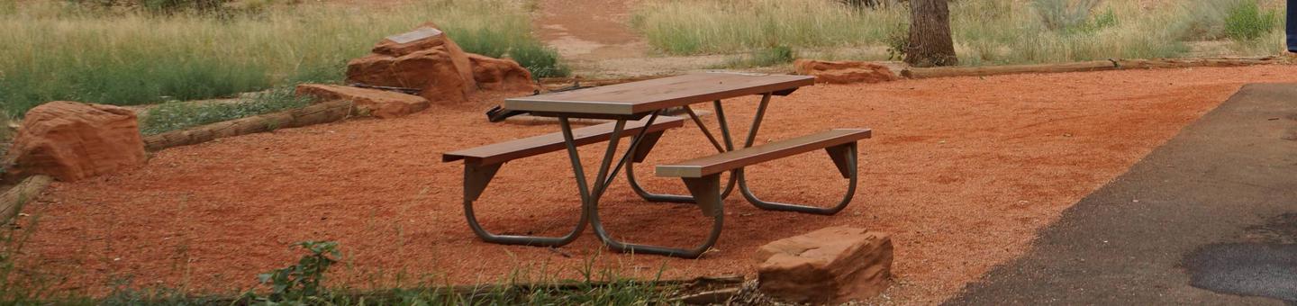
BOATING, CAMPING, FISHING, PICNICKING, VISITOR CENTER, WATER SPORTS, WILDLIFE VIEWING, PLAYGROUND PARK SPECIALIZED SPORT SITE
Camping Reservations
Reserve your campsite at these camping areas:
Hiking Trails
Looking for nice hiking areas to take a hike? Choose from these scenic hiking trails:
Related Link(s)
More New Mexico Recreation Areas
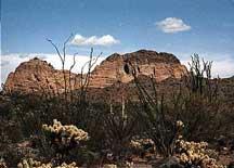
Cochiti Lake is located within the boundaries of the Pueblo de Cochiti Indian Reservation. Please observe and obey all Pueblo regulations. Do not trespass on lands closed to the public. Cochiti Lake is on the Rio Grande, about half way between Santa Fe and Albuquerque. Cochiti Dam is one of the ten largest earthfill dams in the US. It is one of the four units for flood and sediment control on the Rio Grande, operating in conjunction with Galisteo, Jemez Canyon, and Abiquiu Dams.