Directions
From Delta, take Colorado Highway 92 east to Hotchkiss. Stay right on Highway 92 where it intersects Colorado Highway 133 and drive 10 miles to the town of Crawford. The reservoir is 1 mile south of town.
Phone
970-921-5721
Activities
BIKING, BOATING, CAMPING, INTERPRETIVE PROGRAMS, FISHING, HIKING, HUNTING, PICNICKING, WINTER SPORTS, RECREATIONAL VEHICLES, VISITOR CENTER, WATER SPORTS
Camping Reservations
Reserve your campsite at these camping areas:
Hiking Trails
Looking for nice hiking areas to take a hike? Choose from these scenic hiking trails:
Related Link(s)
More Colorado Recreation Areas
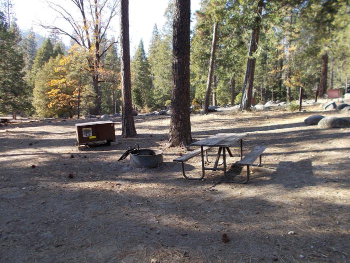
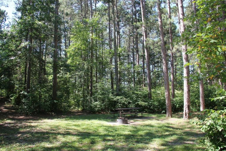
Crawford Reservoir was created by Crawford Dam which crosses Iron Creek, a tributary of the Smith Fork of the Gunnison River. The reservoir is part of the Smith Fork Project.Recreation at Crawford Reservoir is managed by the Colorado Division of Parks and Outdoor Recreation under agreement with the Bureau of Reclamation, Western Colorado Area Office, Grand Junction, Colorado. The 96,000 annual visitors recreation activities are accommodated by 7 miles of shoreline and 394 acres of water surface. The average elevation is 6,500 feet above sea level.Water activities include boating, waterskiing, sailboarding, and swimming. For fishing enthusiasts, yellow perch, black crappie, largemouth bass, trout, channel catfish, and northern pike are in the reservoir. Winter activities include ice fishing, cross-country skiing, and snowmobiling. There are 45 campsites with hookups and 21 without. Showers and flush toilets are available. Call 800-678-2267 for camping reservations


