Phone
(501) 329-2986
Activities
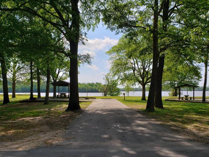
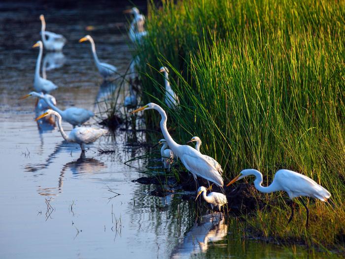
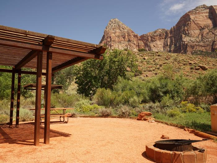
BIKING, BOATING, CAMPING, FISHING, PICNICKING, WATER SPORTS, WILDLIFE VIEWING, PLAYGROUND PARK SPECIALIZED SPORT SITE
Camping Reservations
Reserve your campsite at these camping areas:
Hiking Trails
Looking for nice hiking areas to take a hike? Choose from these scenic hiking trails:
Related Link(s)
More Arkansas Recreation Areas
Ozark Interpretive Association
Arkansas River – Murray Lock and Dam Website
The Arkansas River is one of the Mississippi’s largest tributaries. It flows 1,450 miles from the Rocky Mountains in Colorado, through the Royal Gorge, on through Kansas, Oklahoma, and Arkansas to its confluence with the Mississippi River. Four hundred and forty-five miles long with 17 locks and dams, the McClellan-Kerr Arkansas River Navigation System (MCKARNS) is a reliable, year-round waterway into the Southwest. Essentially a series of navigation pools connected by locks, the waterway enables vessels to overcome a 420-foot difference in elevation from the Mississippi River to the head of navigation at Catoosa, Oklahoma. The waterway has five major publicly developed ports and numerous privately developed facilities.