Directions
1 mile north of the intersection of highways US 56 and KS 177. One mile north of Council Grove , KS; 67 miles southwest of Topeka, KS; 100 miles northeast of Wichita, KS; 37 miles south of Manhattan, KS; and 35 miles northeast of Emporia, KS.
Phone
(620) 767-5195
Activities
BOATING, CAMPING, FISHING, HIKING, OFF HIGHWAY VEHICLE, PICNICKING, WATER SPORTS, WILDLIFE VIEWING, PLAYGROUND PARK SPECIALIZED SPORT SITE
Camping Reservations
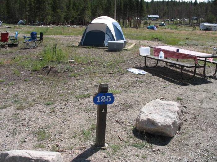
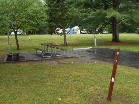
Reserve your campsite at these camping areas:
Hiking Trails
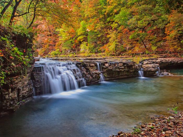
Looking for nice hiking areas to take a hike? Choose from these scenic hiking trails:
Related Link(s)
The lake was named for the nearby town of Council Grove, the birthplace of the Santa Fe Trail and a National Historic District. The lake is in the heart of the Flint Hills, one of the last vestiges of Tallgrass Prairie, and is located 20 miles north of the Tallgrass Prairie National Preserve and 30 miles south of the Konza Prairie Preserve.


