Directions
From Glenwood Springs, Colorado, take Highway 82 south to town of Carbondale. Turn south into Carbondale on Highway 133 for 46 miles to the reservoir. From Delta, take Highway 92 east 21 miles to town of Hotchkiss. On the far side of Hotchkiss, keep left onto Highway 133, than past Paonia another 16 miles to reservoir.
Phone
970-626-5822
Activities
BOATING, CAMPING, FISHING, HUNTING, PICNICKING, RECREATIONAL VEHICLES, WATER SPORTS, WILDLIFE VIEWING
Camping Reservations
Reserve your campsite at these camping areas:
Hiking Trails
Looking for nice hiking areas to take a hike? Choose from these scenic hiking trails:
Related Link(s)
More Colorado Recreation Areas
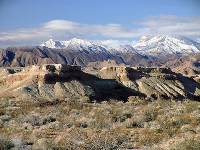
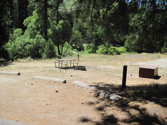
Paonia Dam and Reservoir is part of the Paonia Project. Recreation at Paonia Reservoir is managed by the Colorado Division of Parks and Outdoor Recreation under agreement with the Bureau of Reclamation. The reservoir is located in the shadow of Colorado majestic Ragged Mountains. The parks natural beauty is a perfect setting for nature lovers and photographers. There are picnic and 15 semi-primitive campsites available for your enjoyment. (Drinking water is not available.) Water level may fluctuate severely and prevent boat launching. Call 1-800-678-2267 for camping reservations.