
Directions
From Glennallen, drive northeast about 15 miles on State Highway 1 (Glenn Highway) to State Highway 4 (Richardson Highway). Travel about 20 miles north on Highway 4 to Sourdough Campground. Continue north for an additional 25 miles to the put-in at Paxson Lake Campground.
Phone
907-822-3217
Activities
BOATING, CAMPING, FISHING, HIKING, HUNTING, WILDLIFE VIEWING, PHOTOGRAPHY, PADDLING
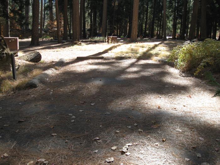
Camping Reservations
Reserve your campsite at these camping areas:
Hiking Trails
Looking for nice hiking areas to take a hike? Choose from these scenic hiking trails:
Related Link(s)
Gulkana National Wild and Scenic River
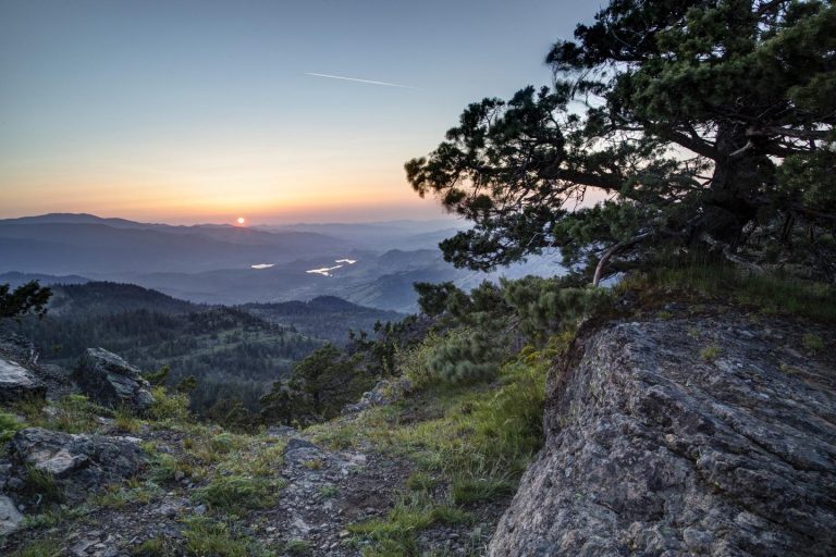
The Gulkana River watershed drains approximately 2,140 square miles of Southcentral Alaska. The river begins in the Alaska Range near Summit Lake and flows south into the Copper River, which eventually empties into the Gulf of Alaska between Cordova and Katalla. Several hundred lakes and ponds are scattered throughout the spruce-dominated forest of the Gulkana River watershed, providing abundant nesting areas for trumpeter swans and waterfowl.
Portions of the Gulkana River were designated for its wild character as part of the National Wild and Scenic River system. The BLM asks that all users do their part to help maintain the wild character of the Gulkana through low impact camping techniques.
Seasons and Climate
The Gulkana River running season generally begins in early to mid-June, depending on ice breakup and precipitation. Average annual precipitation is 11 inches of rain and 48 inches of snow. July is commonly the wettest month. Summer temperatures range from 35 F to occasional highs in the 80s. Be prepared for cold, wet weather at any time. By mid-September, shorter days and colder temperatures bring the river-running season to a quick end.
History and Prehistory
The initial seven-mile stretch of the Middle Fork of the Gulkana River is within the Tangle Lakes Archaeological District. This area is listed on the National Register of Historic Places. Several known prehistoric sites are located within the corridor. The Ahtna Indians were the earliest known humans to use the Gulkana River. Around 1910, miners used the West Fork and the Middle Fork routes to reach the Denali Mining District, about 80 air-miles to the west. NOTE: Collection or disturbance of any historic or prehistoric remains is against the law.
Vegetation and Wildlife
Spruce-hardwood forest is the major vegetation type along the Gulkana River. You may see white and black spruce, birch, aspen and popular forests. The understory includes willow, alder, rose, dwarf birch, cranberry, blueberry, Labrador tea, dwarf dogwood, lichens and mosses.
Depending on location, you may see grizzly bear, black bear, moose, caribou, beaver, coyote, otter, bald eagles, kingfishers, and assorted waterfowl. There are more than 33 species of mammals and 59 species of birds known to live in the Gulkana River basin.
Fish
The Gulkana River’s abundant fish makes it one of the most popular sportfishing rivers in Alaska. Its tributaries contain rainbow trout/steelhead, arctic grayling, king salmon (chinook), red salmon (sockeye), whitefish, longnose suckers, and lamprey. The surrounding lakes have good populations of lake trout, burbot and whitefish.
You can purchase an Alaska fishing license and view sportfishing regulations online at the Alaska Department of Fish and Game website or buy in person from license agents throughout the state, including stores in Glennallen, Delta Junction and Tok. Fishing is particularly heavy on weekends in June and July when the kings are running.