Directions
From Rangely, Colorado (junction of State Highways 64 and 139), travel south on Highway 139. The District begins about 3 miles south and continues for 15 miles.
Phone
(970) 878-3800
Activities
HISTORIC & CULTURAL SITE, HIKING, PICNICKING
Camping Reservations
Reserve your campsite at these camping areas:
Hiking Trails
Looking for nice hiking areas to take a hike? Choose from these scenic hiking trails:
Related Link(s)
More Colorado Recreation Areas
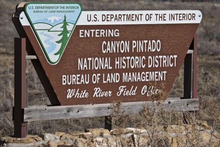
Canyon Pintado National Historic District
Canyon Pintado National Historic District
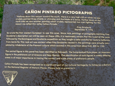
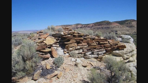
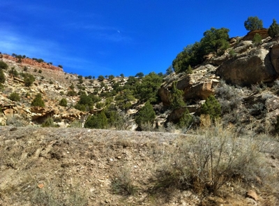
Canyon Pintado National Historic District encompasses over 16,000 acres of public land along 15 miles of State Highway 139. Canyon Pintado (Spanish for “Painted Canyon”) received its name in 1776 when Fathers Dominguez and Escalante noted numerous examples of ancient Native American rock art as they traveled through the Douglas Creek Valley. For more information, please contact the White River Field Office.

