Directions
Take I-25 south 20 miles from Truth or Consequences, New Mexico.
Phone
575-743-3942
Activities
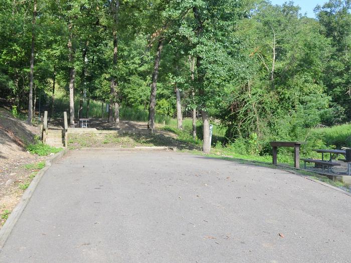
BOATING, CAMPING, FISHING, PICNICKING, WINTER SPORTS, RECREATIONAL VEHICLES, VISITOR CENTER, WATER SPORTS
Camping Reservations
Reserve your campsite at these camping areas:
Hiking Trails
Looking for nice hiking areas to take a hike? Choose from these scenic hiking trails:
Related Link(s)
More New Mexico Recreation Areas
Great Onyx TourOfficial Web Site
Recreation at Caballo Dam and reservoir, Rio Grande Project, is managed by the New Mexico Division of Parks and Recreation under agreement with the Bureau of Reclamation. The The recreation area is open year around. Best fishing is late April through August. Entry fees charged. Good access roads. Nearest community is Truth or Consequences. The 11,000-acre reservoir created in 1938 across the Rio Grande, is 15 miles long with more than 50 miles of shoreline. Fishing opportunities on Caballo Reservoir are available for striped bass, white bass, crappie, largemouth bass, walleye, and catfish. Walleye fishing is available at Percha State Park, 2 miles south of Caballo Dam. Over 200 camping and picnicking sites; 66 with electric outlets and grills. Entry fees are charged. There are 2 boat ramps and concession-operated marinas, and stores. The area is also a premier birding location in the Southwest. Excellent riparian habitat exists below the dam attracting interesting birds in all seasons. Some to be seen are quail, flycatchers, tanagers, jays, and bluebirds. Caballo also is home to several wintering species such as grebes, pelicans, geese, ducks, Bald Eagles, and an assortment of gulls.