
Directions
From Boise, Idaho, travel 85 miles north on Highway 55 to Cascade. Turn east on Warm Lake Highway and travel 25 miles to Forest Road 579KA. Turn south and travel a short distance to the campground.
Phone
208-382-7400
Activities
BIKING, BOATING, CAMPING, FISHING, HIKING, WILDLIFE VIEWING, SWIMMING SITE
Keywords
WARM,FOREST SERVICE CASCADE RGR DIS,IDAHO CASCADE WARM LAKE,WARM LAKE LODGE,BOISE NF – FS
Related Link(s)
Overview
Warm Lake Campground is near the eastern shore of beautiful Warm Lake, at an elevation of 5,300 feet. Visitors enjoy boating, fishing, swimming, hiking and viewing local wildlife.
Recreation
Warm Lake offers great fishing opportunities for cutthroat, rainbow, lake and bull trout. Boating, canoeing and swimming are popular activities. A developed swim beach is available less than a quarter-mile away, at Warm Lake Lodge.
Billy Rice Swim Beach is just over a mile from the campground, on the north side of the lake. The area offers a day-use site for picnicking and swimming. A boat ramp is located at nearby Shoreline Campground.
The surrounding area offers great hiking, mountain biking, horseback and off-road vehicle riding, and hunting. The WeWuKiye (Wa Wu Kia) Trail No. 252 was recently built and can be accessed at Shoreline Campground. It is popular for hiking and mountain biking.
For off-road vehicle enthusiasts, Telephone Ridge Trail No. 112 offers 20 miles of trails for all riding levels, with staging areas within the campground and up the road at Shoreline Campground.
Facilities
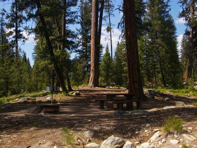
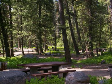
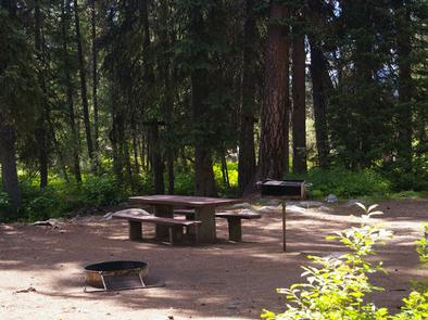
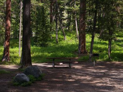
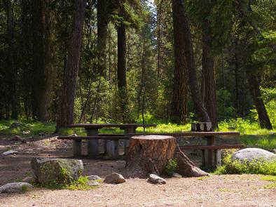
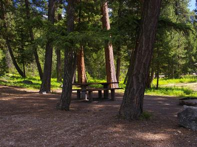
This small campground provides campsites equipped with a picnic table, campfire ring and grill. Vault toilets, drinking water and trash collection are provided at the campground, but electricity is not available.
Roads and parking spurs within the facility are gravel. The lake is not visible from the campground.
Natural Features
The campground is situated in a scenic forest of towering, old-growth ponderosa pine, which provides partial shade in the campground. Chipmunk Creek runs alongside the campground. Summer wildflowers are abundant.
A variety of wildlife including bears, deer, elk, fox, grouse, eagles, osprey, grosbeaks, whooping cranes and otters, lives around the lake.
Nearby Attractions
Warm Lake Lodge is located across the road from the campground and has a restaurant and small store with camping and fishing essentials.