

Directions
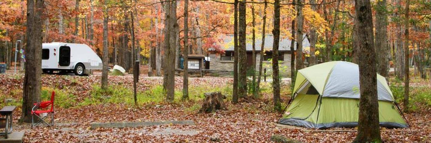
Cades Cove Campground
10042 Campground Drive
Townsend, TN 37882
865-448-2472
Lat/Long: N35.6009 W083.7742
From Maryville, TN: Take U.S. 321 North (you’ll actually be driving south!) from Maryville to Townsend, TN (about 22 miles). At the traffic light in Townsend, continue straight on TN 73 and follow signs to Cades Cove.
From Pigeon Forge, TN take US 321 South (you’ll be driving westerly) to Townsend, TN. Turn left (south) at Townsend onto TN 73. Follow signs to Cades Cove.
Phone
865-448-4103
Activities
HISTORIC & CULTURAL SITE, CAMPING, INTERPRETIVE PROGRAMS, FISHING, HIKING, HORSEBACK RIDING, VISITOR CENTER, WILDLIFE VIEWING, DAY USE AREA
Keywords
Great Smokey Mountains National Park,Caves Cove,Katies Cove,Katys Cove,Great Smoky Mountains National Park
Related Link(s)
Tennessee State Road Conditions
National Park Services Concessionaire
Overview
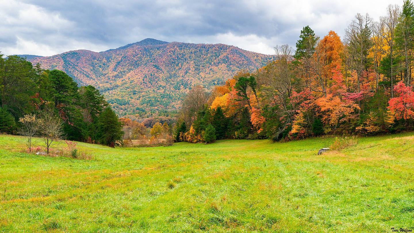
Over 2 million visitors annually come to enjoy the scenic beauty of Cades Cove and its many historic structures, popular biking and hiking trails and scenic waterfalls and streams. Tucked in the mountains under a lush, shaded canopy, this group campground offers the best that the Great Smoky Mountains National park has to offer.
Recreation
The Great Smoky Mountains are a hikers paradise and visitors to Cades Cove Campground love the 5-mile roundtrip hike to Abram Falls. From Cades Cove Loop Road, turnoff at the sign and follow the directions to the trailhead.
Although Abrams Falls is only 20 feet high, the large volume of water rushing over falls more than makes up for its lack of height. The long, deep pool at its base is very picturesque. The trail to the falls traverses pine-oak forest on the ridges and hemlock and rhododendron forest along the creek. The waterfall and creek are named for Cherokee Chief Abram or Abraham whose village once stood several miles downstream.
A nearby horse stable provides one-hour horseback rides as well as hay rides and carriage rides from March through October, offering recreational activities for the entire family.
Campers can also enjoy high-quality backcountry fishing in the cool waters of the countless streams and rivers that snake through the mountains, with trout available in abundance.
Facilities
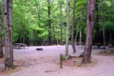
Cades Cove Group Camp provides a primitive camping experience, with conveniences such as flush toilets and drinking water, but there are no hookups or showers at the campground. with the modern conveniences of flush toilets and drinking water. The four group campsites can accommodate up to 20 guests each, and multiple sites may be reserved for larger groups.
A camp store provides visitors with basic necessities as well as bike rentals, and events like Interpretive Programs in the nearby amphitheater and Bicycle Only Days on the loop road provide visitors with a fun and unique experience.
Natural Features
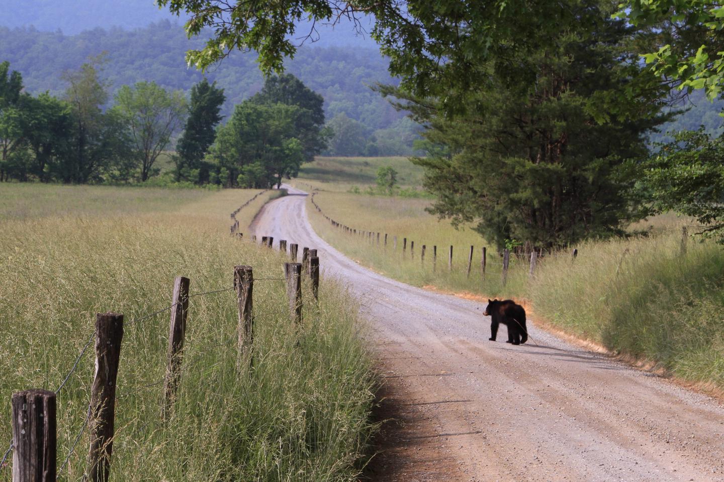
Cades Cove is a broad, verdant valley surrounded by mountains and is one of the most popular destinations in the Great Smokies. It offers some of the best opportunities for wildlife viewing in the park.
Large numbers of white-tailed deer are frequently seen, and sightings of black bear, coyote, ground hog, turkey, raccoon, skunk, and other animals are also possible.
For hundreds of years Cherokee Indians hunted in Cades Cove but archeologists have found no evidence of major settlements. The first Europeans settled in the cove sometime between 1818 and 1821. By 1830 the population of the area had already swelled to 271.
Nearby Attractions
The park holds one of the best collections of log buildings in the eastern United States. Over 90 historic structures, including houses, barns, outbuildings, churches, schools and grist mills, have been preserved or rehabilitated in the park, a few of which are easily accessible from the Cades Cove Loop Road.
Townsend, located about nine miles away, offers full service grocery stores and fuel.
Charges & Cancellations
¢ If you plan to arrive at a date later than your arrival date you MUST contact the campground office 865-448-4103 in order to avoid a cancellation to your reservation. If you wish to cancel your reservation the day of your arrival you MUST contact the campground office 865-448-4103 in order to receive a refund.
¢ Rules and reservation policies can be found at https://www.recreation.gov/rules-reservation-policies