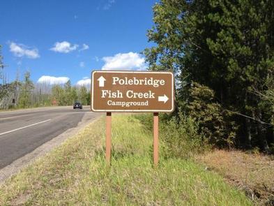
Directions
Important: Please do not rely on GPS for directions to Fish Creek Campground. Please use these directions:
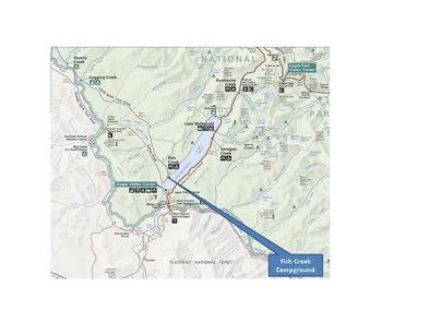
Fish Creek is located four miles northwest of the west park entrance near West Glacier, Montana. Access is from U.S. Highway 2, approximately 32 miles northeast of Kalispell, Montana.
Phone
406-888-7800
Activities
CAMPING, INTERPRETIVE PROGRAMS, FISHING, HIKING, PICNICKING, VISITOR CENTER, WILDLIFE VIEWING, DAY USE AREA, SWIMMING SITE
Keywords
Fish Creek Campground,GLACIER NATIONAL PARK,GLACER
Related Link(s)
National Park Services Concessionaire
Overview
Fish Creek Campground is the second largest campground in Glacier National Park, and one of four campgrounds that takes reservations. Glacier National Park, in northwestern Montana, is comprised of pristine forests, alpine meadows, rugged mountains and spectacular lakes. With over 700 miles of trails, Glacier is a hiker’s paradise for visitors seeking wilderness and solitude. It also provides countless scenic vistas for those wishing to relax and take in its nautural beauty. The campground is located on the western side of the park at an elevation of nearly 3,500 feet; this area of the park generally receives the most rainfall. Daytime temperatures can exceed 90 degrees, although it is frequently 10 to 15 degrees cooler at higher elevations. Weather in the mountains can be varied, including snow in summer; visitors should come prepared for anything.
Recreation
This facility is conveniently located in the western part of the park, nearby many day hikes, including Rocky Point Trail, which wanders through a burn area from a 2003 wildfire. Explorers of all ages can attend nightly ranger programs at an amphitheater within the facility.
Facilities
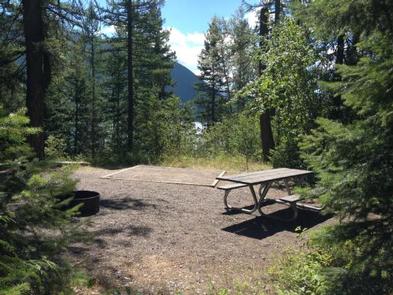
The campground is large with 178 campsites. The sites are relatively spread apart and provide privacy for both RV and tent campers. Potable water is accessible in the campground, and restroom facilities have flush toilets and sinks with running water.
Natural Features
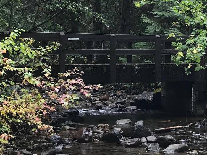
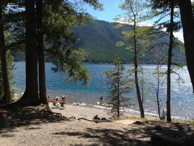
Fish Creek is heavily forested with plenty of shade. Some sites have views of Lake McDonald. The park is named for its prominent glacier-carved terrain and remnant glaciers descended from the ice ages almost 10,000 years ago. Its diverse habitats are home to nearly 70 species of mammals including the grizzly bear, wolverine, gray wolf and lynx. Over 270 species of birds visit or reside in the park, including such varied species as harlequin ducks, dippers and golden eagles.
Nearby Attractions
One must-see attraction is Waterton Lakes National Park, Glacier’s sister park across the Canadian-U.S. border. As the other half of Waterton-Glacier International Peace Park, Waterton Lakes offers great hiking, scenic boat cruises and several scenic drives all centered around the townsite of Waterton.


