
Directions
From Interstate 35 in Temple, Texas take State Highway 36 west towards Gatesville. Turn left on Cedar Ridge Park Road and continue into the park and campground area.
Phone
254-986-1404
Activities
BOATING, CAMPING, SWIMMING SITE
Keywords
CEDR,BELTON LAKE,LAKE BELTON,BELTON LAKE
Related Link(s)
Overview
Cedar Ridge Park Campground is located at Belton Lake, which provides some of the best fishing, camping and boating in Central Texas. This year-round campground accommodates both tents and RVs and has several sites with screened shelters for those who do not have camping equipment.
The facility provides many amenities, including hot showers, group picnic areas and free wireless internet for registered campers. A concession marina within the park offers fuel and basic convenience store items, as well as a seasonal restaurant.
Belton Lake was created by the U.S. Army Corps of Engineers with the construction of Belton Dam in 1954. The 12,300-acre lake is located on the Leon River, just upstream of the confluence of the Leon River and the Little River.
Recreation
With 136 miles of shoreline, Belton Lake offers a wide variety of recreation activities, and there is no shortage of family activities at Cedar Ridge. The facility has two multi-lane boat ramps with courtesy loading docks, a large lighted fishing dock, a designated family swimming beach, a playground, basketball court and hiking trails.
Hawks, Great blue herons, ducks, geese, many species of songbirds, bobwhite quail, Rio Grande turkey and even an occasional bald eagle visit the lake area, yielding year-round opportunities for birders.
Facilities
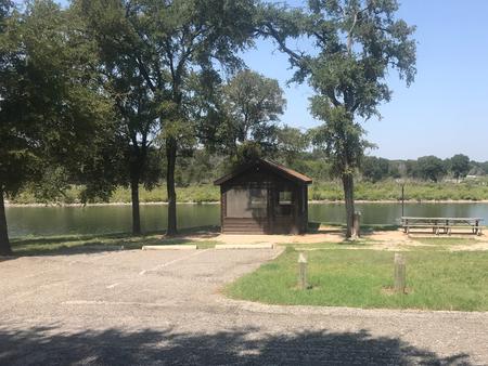
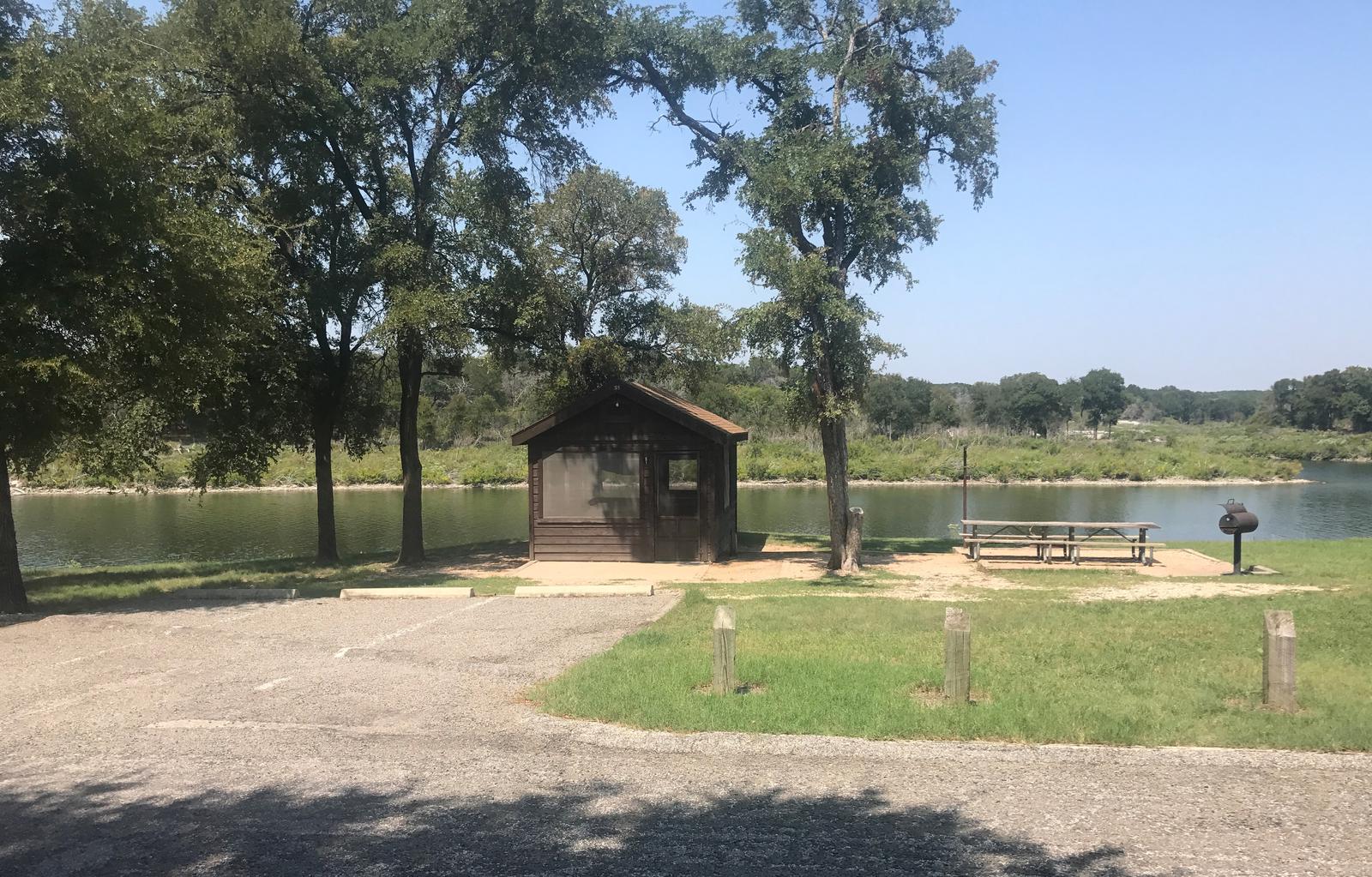
All 76 campsites, including screened shelter sites, have water and electric hookups, a covered picnic table and grill. There are also restrooms with flush toilets and showers and two dump stations.
The park is staffed with full-time gate attendants and volunteer campground hosts. The camper service center offers free wireless internet to registered guests, laundry facilities and a group meeting space.
The campground has two sections. On the east side, campers will find the fishing dock, swim beach, playground and basketball court. The west side offers a marina and two group picnic shelters, which can each host up to 100 people in addition to volleyball courts, a horseshoe pit and a large cooker.
A group camping area (Turkey Roost) is also available, which features the same amenities in addition to 10 group camping sites for RVs or tents.
Natural Features
The campground is partially forested with a mix of sun and shade. It lies on the shores of Belton Lake and Cedar Creek, with its scenic white limestone bluffs. Some of the campsites are directly on the shore, while others are a short walk away.
The springtime brings an abundance of wildflowers that blanket areas of the park. Deer, turkey and other small game are commonly seen, and a man-made wetland on the opposite side of the lake provides an additional 25 acres of wildlife habitat in the area.
Nearby Attractions
Belton Lake is located adjacent to the Fort Hood Army Base, which has several points of interest for the military buff. The mural painted on the spillway wall of Belton Dam depicts the history of the Bell County area.