


Directions
From Branson, Missouri, take US-65 south for nearly 12 miles. Turn right onto HWY 14 South for 1/4 mile which will turn Left, Stay on 14 South it will take you to the campground.
Phone
870-426-3331
Activities
BIKING, BOATING, CAMPING, FISHING, HIKING, PICNICKING, WATER SPORTS, WILDLIFE VIEWING, DAY USE AREA, SWIMMING SITE, PHOTOGRAPHY, RANGER STATION, KAYAKING, WATER ACCESS
Keywords
CRIC,TABLE ROCK LAKE,TABLE ROCK LAKE
Related Link(s)
Arkansas State Road Conditions
Overview
Cricket Creek is a spacious and sunny campground located along the Long Creek Arm of Table Rock Lake in the Arkansas countryside. With panoramic views of the lake and the rocky bluffs, which rise above the water, Cricket Creek is one of the more scenic campgrounds in the area. Cricket Creek is very popular in the spring months of April & May, & has become very busy in the summer months as well. This is a great setting for visitors and campers to relax and enjoy the lake.
Recreation
A full-service public marina located at the campground offers everything from boat rentals to tubes, water skis and wakeboard rentals. Fisherman can purchase a license here and fuel up for a day on the water.
While the lake boasts an abundance of crappie, catfish, and bluegill, Table Rock is most famous for bass, and is acclaimed as one of the best bass fishing lakes in this hemisphere.
Scuba diving is also a popular activity in the crystal clear lake waters, which offer high visibility and plenty of underwater excitement, including the remnants of a submerged town and grove of old oak trees.
For an indoor activity, visitors may enjoy a trip to the Dewey Short Visitors Center where 3 educational films are offered on topics including, the history of the dam, the story of Lewis and Clark and the history of eagles and their endangerment in the state of Missouri.
Facilities
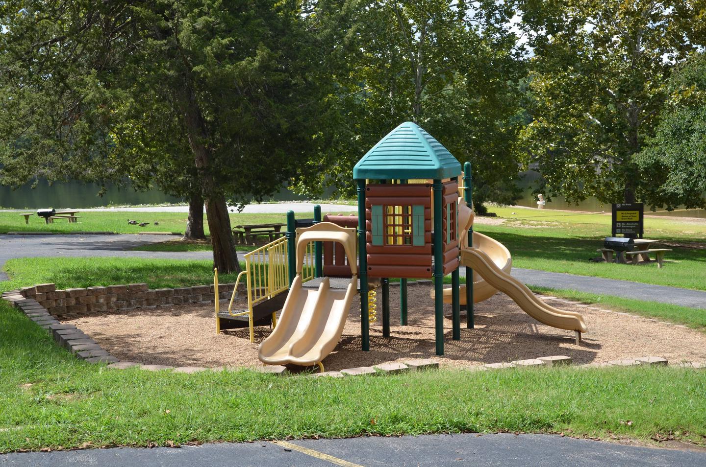
Cricket Creek Campground offers 37 reservable campsites. Amenities like hot showers, drinking water, a dump station and electric hookups create a comfortable camping experience. A full service marina is located on site and offers everything from rentals to groceries to gas. A swim area, boat ramp, playground and picnic area make the campground perfect for family trips.
Natural Features
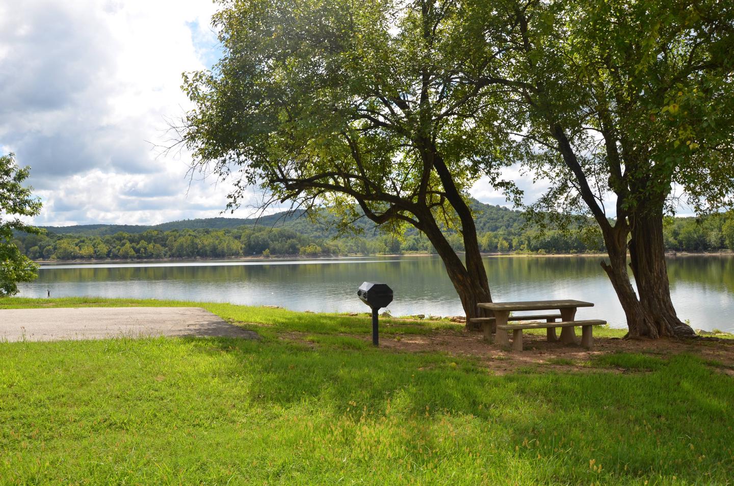
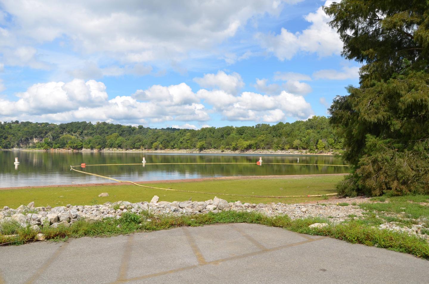
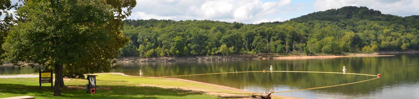
At Cricket Creek, a marina extends out over the bright blue waters on one end, and a large, sandy swimming beach is offered on the other, providing convenient access to the cool waters of Table Rock Lake from every angle.
Table Rock Lake is a beautiful body of water surrounded by a forest of oak and hickory trees. Its waters wind down through the valleys and hollows of the Ozark Mountains, from Branson, Missouri to Eureka Springs, Arkansas.
More than five million visitors per year take advantage of this recreational oasis. Originally built for flood control, the Table Rock Dam has created a lake that boasts 779 miles of shoreline for the public to enjoy.
Nearby Attractions
The Dewey Short Visitors Center is located at the south end of Table Rock Dam, with educational exhibits on the natural history of the area, a courtesy dock and scenic hikes that leave from the center.
Cricket Creek Campground is about 12 miles from Branson, Missouri, which offers grocery stores, gas and additional tourist attractions.