DAM - QUARRY, AR Campground Reservation, Info, Images, Map, Directions

DAM – QUARRY, Arkansas Campground Images, Info & Reservations

Directions

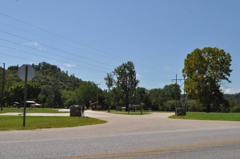
From Mountain Home, AR, take State Route 5 south 14 miles to Salesville, then turn left on State Route 177 for 2 miles. Park is located below Norfolk Dam. Follow signs into the campground.

Phone

870-499-7216

Activities

BOATING, CAMPING, SWIMMING SITE

Keywords

DAMQ,NORFORK LAKE,DAM QUARRY,NORFORK LAKE

Related Link(s)

Rec Area Info & Images

Arkansas State Road Conditions

Arkansas State Tourism

Overview

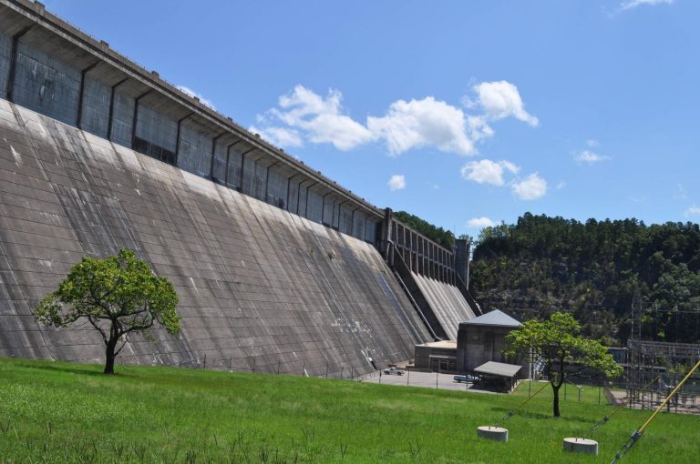
Dam Quarry Campground is an angler’s paradise. Located in northern Arkansas, just downstream of the Norfork Dam, the campground is renowned for its world-class trout fishing.

The Norfork Lake region was one of the state’s first water recreation areas with opportunities like water skiing, canoeing, scuba diving, and of course, fishing.

Recreation

While fishing is the top-rated activity in the lower river area, kayaking, birding and hiking are also very popular.

The public land around Norfork keeps hunters busy with white-tailed deer, wild turkey, squirrel, rabbit and quail.

Facilities

Kids will enjoy the playground and everyone will find fun in the water. A boat ramp is on-site and a marina is located just above the dam. Everything but the group sites have electric hookups.

Natural Features

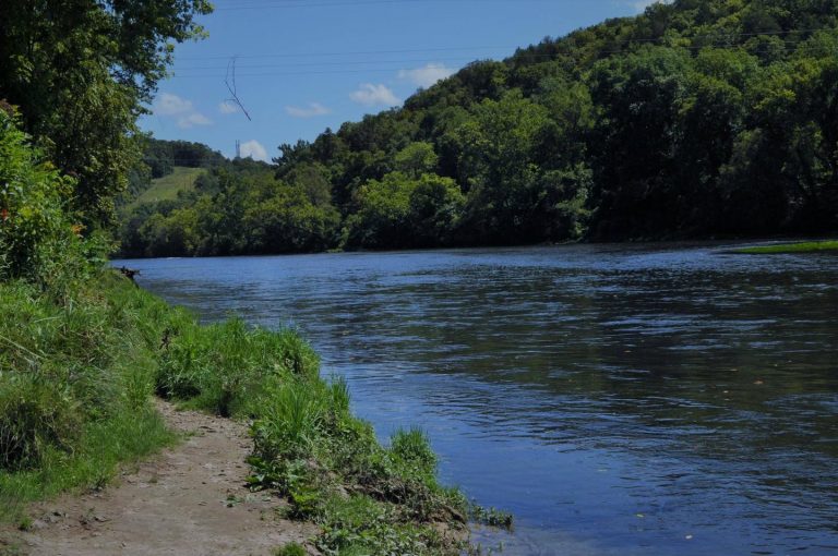
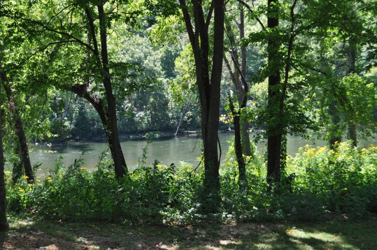
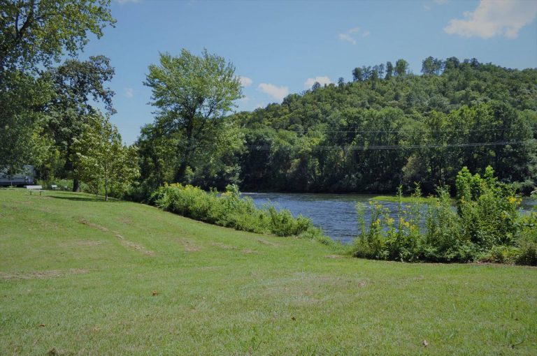
The campground sits at the banks of the North Fork River and Dry Run Creek. The river feeds the popular 22,000-acre Norfork Lake, which is just upstream from Dam Quarry. The site has beautiful views of the forested hills and hollows of the Ozarks.

Nearby Attractions

A short drive south takes visitors to the Ozark National Forest for sightseeing and wildlife spotting. The campground is also just three miles northeast of the small town of Norfork.

Reservation

More from CampingHiking.net:

HORSESHOE POINT, Virginia Campground Images, Info & Reservations

Directions From HWY 220, turn onto Henry Road (SR-605) and go 8 miles. Turn left onto Horseshoe Point Road and follow signs to the park. Phone (540) 365-7385 Activities BOATING, CAMPING, SWIMMING SITE Keywords HOPO,Philpott Lake Related Link(s) Rec Area Info & Images Virginia State Road Conditions Virginia State Tourism

OLD TOWN, Kansas Campground Images, Info & Reservations

Directions From Ozawkie, Kansas, travel 1.5 miles east on KS-92 and follow signs to the campground. Phone 785-876-3146 Activities BIKING, BOATING, CAMPING, FISHING, HIKING Keywords OLDT,PERRY LAKE,PERRY LAKE Related Link(s) Rec Area Info & Images Kansas State Road Conditions Kansas State Tourism Overview DUE TO FLOODING DAMAGES, OLD TOWN PARK

HARD ROCK CAMPGROUND, Oregon Campground Images, Info & Reservations

Directions From Blue River, OR, travel 4 miles east on Highway 126 to Aufderheide Drive (Forest Service Road 19). Turn right on Aufderheide Drive and continue south about 3/4 mile. Veer right at the Y and continue 10 miles to the campground. Phone 801-226-3564 Activities FISHING, WILDLIFE VIEWING Keywords HROC,WILLAMETTE

CHILCOOT, California Campground Images, Info & Reservations

Directions From Reno, Nevada, travel north on Highway 395. Merge onto Highway 70 west and continue 5 miles to Chilcoot. Turn north on Highway 284 and continue 5 miles to the campground. Phone 530-836-2575 Activities BOATING, CAMPING, FISHING, HIKING, WATER SPORTS, SWIMMING SITE Keywords CHCO,CHILLICOOT,FRENCHMAN LAKE,LITTLE LAST CHANCE LAKE,PLUMAS NF

MONO CREEK, California Campground Images, Info & Reservations

Directions From Clovis, California, take Highway 168 north 70 miles to Huntington Lake Campground office at Eastwood. Take Kaiser Pass Road to Mono Creek Campground. Phone 559-893-2111 Activities BOATING, CAMPING, INTERPRETIVE PROGRAMS, FISHING, HIKING, HORSEBACK RIDING Keywords MONO,SIERRA NF – FS Related Link(s) Rec Area Info & Images California State