ISAAC CREEK, AL Campground Reservation, Info, Images, Map, Directions

ISAAC CREEK, Alabama Campground Images, Info & Reservations

Directions

From Monroeville, Alabama, take State Route 41 north for 8 miles. Turn west onto County Road 17 and follow signs into the campground.

Phone

251-282-4254

Activities

BIKING, BOATING, CAMPING, FISHING, HIKING, HUNTING, WATER SPORTS

Keywords

ISAA,CLAIBORNE LAKE,ALABAMA RIVERS,ALABAMA RIV. – LAKE

Related Link(s)

Rec Area Info & Images

Alabama State Tourism

Alabama State Road Conditions

Overview

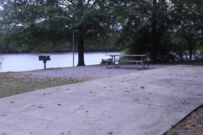
Isaac Creek Campground is located on Claiborne Lake in Alabama’s southwest Hill Country.

The lake encompasses more than 60 miles of the Alabama River, and Isaac Creek has great appeal to sportsmen, birders, naturalists or those simply wanting to relax in the outdoors.

Recreation

The area’s waterways offer anglers the opportunity to fish for largemouth bass, crappie, bluegill and catfish.

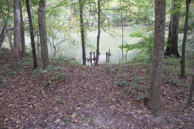
Boating and water sports are also a main draw to the lake, and a boat ramp is provided for easy water access.

The vast expanse of surrounding land allows for bow and shotgun hunting for game like whitetail deer, wild turkey and hog.

Facilities

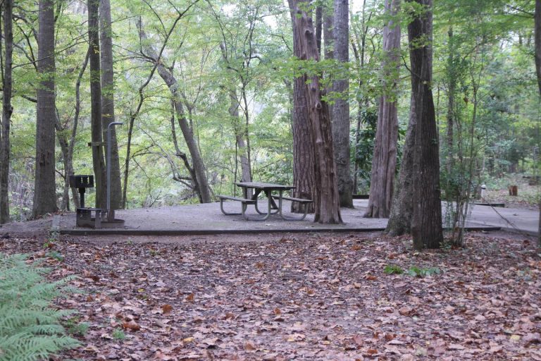
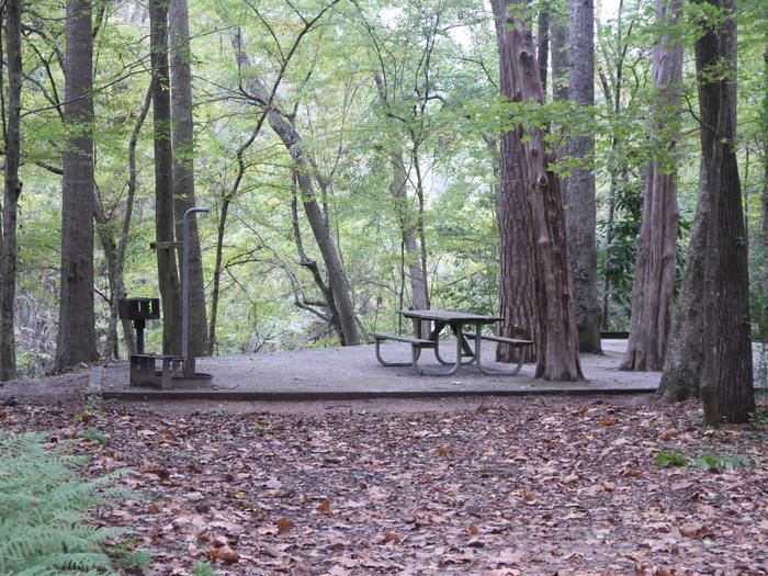
This year-round campground offers 60 sites with electric hookups. Amenities include flush toilets, showers, drinking water, a dump station and laundry facilities.

A boat ramp, dock, fish cleaning stations, basketball court, playground and picnic shelter offer countless recreation opportunities for visitors.

Natural Features

The campground is situated between Isaac Creek and Claiborne Lake, in a forest of hardwood and pine.

Reservation

More from CampingHiking.net:

COYOTE GROUP, California Campground Images, Info & Reservations

Directions From Auburn, Calif., take Highway 80 to the Foresthill Road, then travel 20 miles east to Foresthill. Turn right on Mosquito Ridge Road and continue east for 42 miles, to the French Meadows Reservoir. Follow signs to the campground. Phone 530-367-2224 Activities BIKING, BOATING, CAMPING, FISHING, HIKING, SWIMMING SITE

EGGERTS LANDING, North Dakota Campground Images, Info & Reservations

Directions The main route to the park is via Interstate 94 to Valley City exit 292. Follow the signs through Valley City and follow County Road 21 north from Valley City for 10 miles. Phone 701-845-2970 Activities CAMPING, HIKING, SWIMMING SITE Keywords EGGL,EGGERTS LANDING,EGGERTS,BAYSHORE,LAKE ASHTABULA Related Link(s) Rec Area Info

MISSION LOOKOUT, Montana Campground Images, Info & Reservations

Directions From Swan Lake, travel south on Highway 83 for 3 miles. Turn west onto Porcupine Creek Road 10229 (mile-marker 68). After passing Forest Road 9714, turn right onto Forest Road 9803 (2.2 miles after leaving the state highway). Continue on Forest Road 9803 for 1.4 miles, to a gate.

BOGAN FLATS CAMPGROUND GRP S, Colorado Campground Images, Info & Reservations

Directions Take I-70 west of Denver, Colorado, to Glenwood Spring exit 116, Highway 82, south to Carbondale. Take Highway 133 south for 20 miles. Turn left on Gunnison County Road 3 toward Marble. Campground located another 1.5 miles near the river. Phone 970-927-0107 Activities BIKING, HISTORIC & CULTURAL SITE, CAMPING,