

Directions
From I-35 in Hillsboro, take Highway 22 west 12 miles to Whitney. Continue 7 miles past Whitney, turn right before dam. Follow park road to 4-way stop. Turn left to go to West Lofers or right to go to East Lofers.
Phone
254-622-3332
Activities
BOATING, CAMPING, SWIMMING SITE
Keywords
LOFE,WHITNEY LAKE,LAKE WHITNEY,EAST LOFERS BEND,LOFERS BEND WEST,WEST LOFERS BEND,LOFERS BEND,WHITNEY LAKE
Related Link(s)
Overview
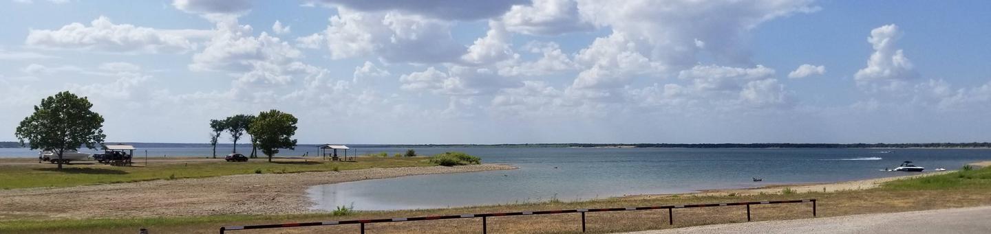
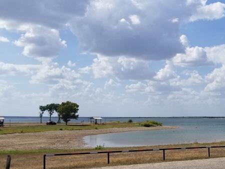
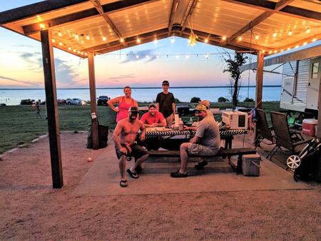
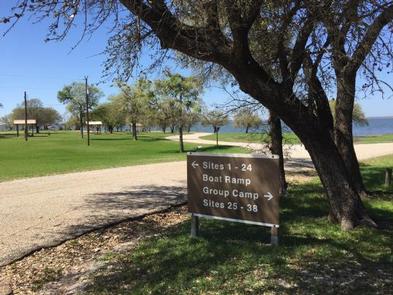
Lofers Bend East Campground is located on Whitney Lake on the Brazos River in Central Texas. This campground has 66 campsites and six of which that are “water only” sites and the remaining sites have water and 30 amp hook ups. All sites have either a stand up BBQ grill or a ground cooker/fire ring. The park is equipped with flushable toilets, showers, trailer dump station and two boat ramps.
Recreation
Boating, fishing, swimming, canoeing, and kayaking are popular activities at Whitney Lake. Anglers can fish for a variety of bass, crappie and catfish.
Facilities
This year-round campground offers 66 family sites and one group site, all with water and electric hookups. Six non-electric sites are available as well.
Amenities include flush toilets, showers, drinking water, a dump station, boat ramp and playground.
Natural Features
The park is situated on the lakeshore among rolling hills covered with cedar, live and post oak. Many deer claim this campground as their home.
Nearby Attractions
The 12.5 mile Hopewell Trail is nearby. It allows hiking, mountain biking, and horseback riding. Visitors can choose to travel north on the trail to Kimball Bend Park, or south to Lakeside Village and Powelldale Mountain.