MCCOWN VALLEY, TX Campground Reservation, Info, Images, Map, Directions

MCCOWN VALLEY, Texas Campground Images, Info & Reservations

Listen

Directions

From I-35 in Hillsboro, take HWY 22 west 12 miles to Whitney, exit 933 north for 2.5 miles to FM 1713. Proceed 6 miles west, following signs into campground.

Phone

254-622-3332

Activities

BIKING, CAMPING, HIKING, HORSEBACK RIDING, SWIMMING SITE

Keywords

MCCO,WHITNEY LAKE,LAKE WHITNEY,WHITNEY LAKE

Related Link(s)

Rec Area Info & Images

Texas State Tourism

Texas State Road Conditions

Overview

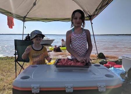
McCown Valley is located on Whitney Lake on the main channel of the Brazos River in Central Texas. Over two million people visit Whitney Lake each year to enjoy the plethora of recreational activities and scenic beauty the lake provides.

Recreation

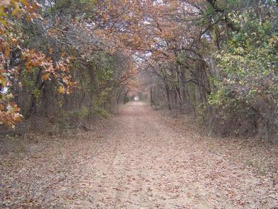
McCown Valley offers five miles of trails in its equestrian park. Visitors enjoy riding their horses through open pastures and wooded areas near the lake.

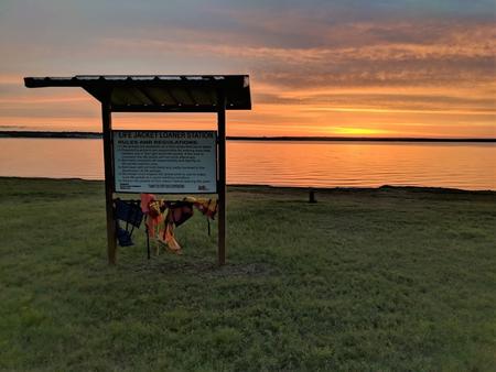
Boating, fishing, swimming, canoeing and kayaking are popular activities at Whitney Lake. Anglers can fish for a variety of bass, crappie and catfish with a state fishing license.

Facilities

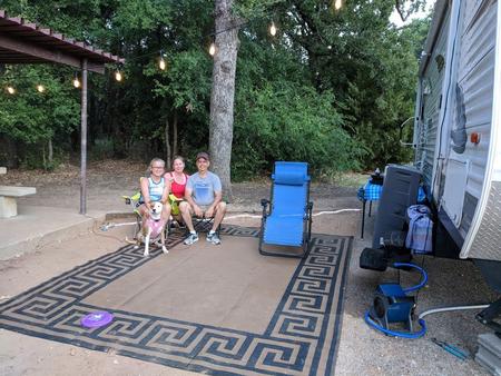
This year-round campground offers a variety of sites to suit all kinds of campers, including 39 equestrian sites, 48 family sites, five sleeping shelters, and a day-use picnic shelter, all with electric and/or water hookups. 13 primitive tent sites are also available.

Amenities include flush and pit toilets, showers, drinking water and a dump station. A boat ramp, playground and trails are also on-site.

Natural Features

The park is situated on the lakeshore among gently rolling hills covered with cedar, Live oak and Post oak. Deer and wild turkeys roam the area.

Nearby Attractions

The 12.5 mile Hopewell Trail is nearby. It allows hiking, mountain biking, and horseback riding. Visitors can choose to travel north on the trail to Kimball Bend Park, or south to Lakeside Village and Powelldale Mountain.

Reservation

More from CampingHiking.net:

HENDERSON PARK, Arkansas Campground Images, Info & Reservations

Listen Directions From Mountain Home, Arkansas, travel east on US Highway 62/412 10 miles to the town of Henderson. Look for park signs for the park entrance on the left. Phone 870-425-2700 Activities BOATING, CAMPING, FISHING, HUNTING, WATER SPORTS, DAY USE AREA, HOTEL/LODGE/RESORT PRIVATELY OWNED Keywords Related Link(s) Rec Area

Maroon Bells Amphitheatre, Colorado Campground Images, Info & Reservations

Listen Directions Coming to Aspen via Independence Pass: Take Highway 82 West from downtown Aspen, 1 mile to the roundabout (rotary). From the roundabout, take Maroon Creek Road 4.7 miles to the Maroon Bells Welcome Station. Continue past the Welcome Station. The amphitheater is 5 miles beyond the Welcome Station

OHANAPECOSH GROUP CAMPGROUND, Washington Campground Images, Info & Reservations

Listen Directions Located on State Route 123, four miles north of State Route 12. Phone 360-569-2211 x6627 Activities CAMPING, HIKING, PICNICKING, DAY USE AREA Keywords CG81,Ohana,Mount Rainier National Park Related Link(s) Rec Area Info & Images Washington State Road Conditions Washington State Tourism Overview This facility is the group site

LAKE IRWIN, Colorado Campground Images, Info & Reservations

Listen Directions From Gunnison, take Colorado Highway 135 north 28 miles to Crested Butte. Turn left on Gunnison County Road 12. Proceed 7 miles. Turn right on Forest Road 826 and follow signs to the campground. Phone 970-349-6348 Activities BIKING, BOATING, CAMPING, FISHING, HIKING Keywords LAKI,GUNNISON,GM,UNCOMP NF – FS Related

BUTTE LAKE, California Campground Images, Info & Reservations

Listen Directions From Redding, California drive 63 miles east on State Highway 44 to Old Station. From the intersection of 44 and State Highway 89, continue east on 44 for 11 miles. Watch for sign to Butte Lake Campground. Turn right and continue for six miles on a rough gravel