
Directions
From Highway 187, turn onto Old Robert’s Church Road and follow brown directional signs. 710 RIVER FORKS RD, Anderson, SC 29626
Phone
888-893-0678 HARTWELL PROJECT OFFICE
Activities
BOATING, FISHING, PICNICKING, DAY USE AREA, SWIMMING SITE, SWIMMING, WATER ACCESS
Keywords
RIVF,HARTWELL LAKE PROJECT
Related Link(s)
South Carolina State Road Conditions
Overview
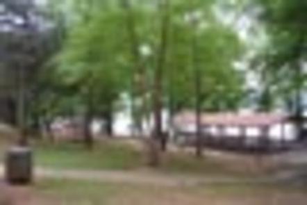
River Forks Recreation Area is a 182 acre gently sloping site with a relatively dense tree cover consisting primarily of pines. The site presently offers day use and boat launching facilities consisting of 1 gatehouse/entrance, 38 picnic sites, 2 standard picnic shelters with water and electric service, 1 two lane boat ramp, 1 courtesy dock, 2 comfort stations, 3 playgrounds, 3 designated swim areas/beaches, 1 volleyball pit, and associated paved roads and parking areas throughout. The area experiences high levels of intense public use during peak recreation season.
Recreation
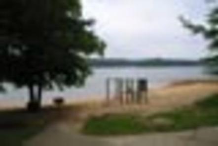
Boating and water sports top the list of popular activities. A two-lane boat ramp is available year-round for visitors’ convenience, and three designated swim beaches surround the coastline.
Facilities
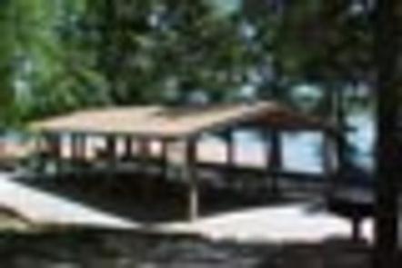
The site presently offers day use and boat launching facilities consisting of 1 gatehouse/entrance, 38 picnic sites, 2 standard picnic shelters with water and electric service, 1 two lane boat ramp, 1 courtesy dock, 2 comfort stations, 3 playgrounds, 3 designated swim areas/beaches, 1 volleyball pit, and associated paved roads and parking areas throughout. Large groups can also be accommodated by reserving River Forks Loop A. River Forks Loop A may only be reserved by reserving River Forks Shelter #2 through NRRS and then contacting the Hartwell Lake office at 888-893-0678 to reserve the entire Loop A for an additional charge of $100. Please note River Forks Loop A is not available for reservations during the following holiday periods: Memorial Day, July 4th and Labor Day.
Natural Features
Hartwell Lake is a man-made lake bordering Georgia and South Carolina on the Savannah, Tugaloo and Seneca Rivers. The dam and lake area boasts 8 campgrounds and 11 day-use facilities that are operated by the US Army Corps of Engineers. The Hartwell Project was originally authorized for hydro-power, flood control, and navigation. Later, recreation, water quality, water supply and fish and wildlife management were added. Surrounding vegetation allows for plenty of shade, and the 962 miles of shoreline provide numerous swimming beaches, picnic areas and boat ramps.
Nearby Attractions
Sadlers Creek State Park is just down Highway 187 and offers hiking and biking, including a 5.4 mile scenic, loop bike trail that follows the lake shore.
Charges & Cancellations
A $10 service fee will apply if you change or cancel a reservation more than 14 days in advance of arrival date. If you cancel a reservation within 14 days of your scheduled arrival date, you will forfeit the reservation fee.