ROBINSON POINT, AR Campground Reservation, Info, Images, Map, Directions

ROBINSON POINT, Arkansas Campground Images, Info & Reservations

Directions

From Mountain Home, AR, travel 9 mi E on US 412/62; turn right onto CR 279/Robinson Pt. Rd. for 3 mi to park entrance. Follow signs into campground.

Phone

870-492-6853

Activities

BOATING, CAMPING, FISHING, HIKING, VISITOR CENTER, SWIMMING SITE

Keywords

ROBP,NORFORK LAKE,NORFORK LAKE

Related Link(s)

Rec Area Info & Images

Arkansas State Tourism

Arkansas State Road Conditions

Overview

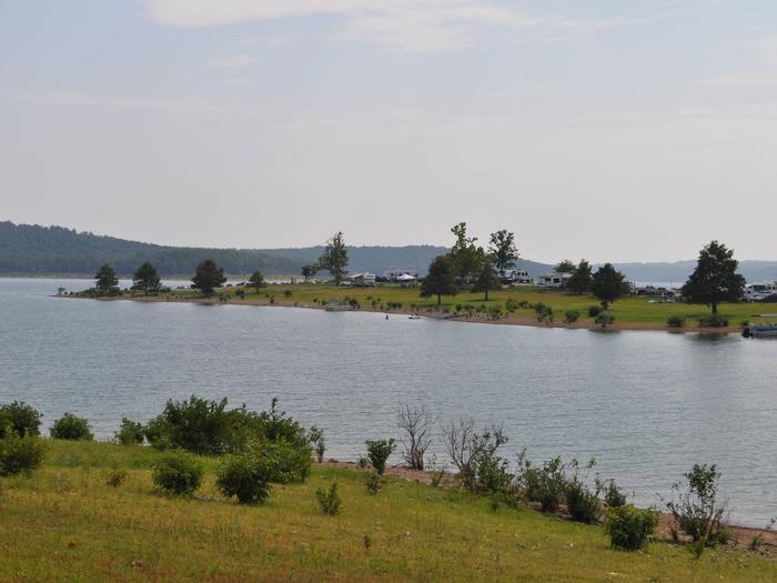
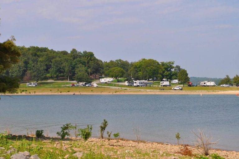
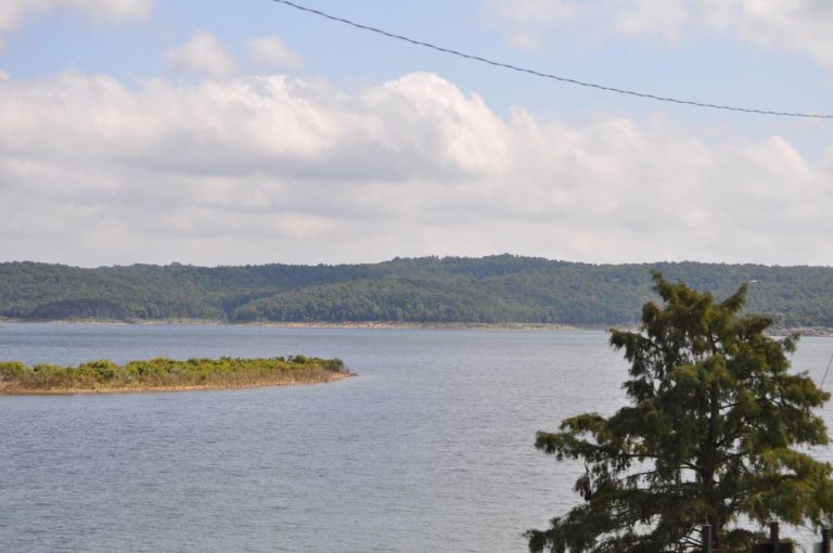
Robinson Point is one of the most popular parks in the central portion of Norfork Lake. The 102 campsites are sprawled across two peninsulas, so waterfront campsites are plentiful.

The hilly lake region is a playground for visitors young and old, with water and land activities galore.

Recreation

Swimming, hiking and all types of boating are favorite pastimes for lake-goers. Coves are ideal for water skiers while the breezy, open areas provide excellent conditions for sailing.

In-season hunting is also popular here.

Facilities

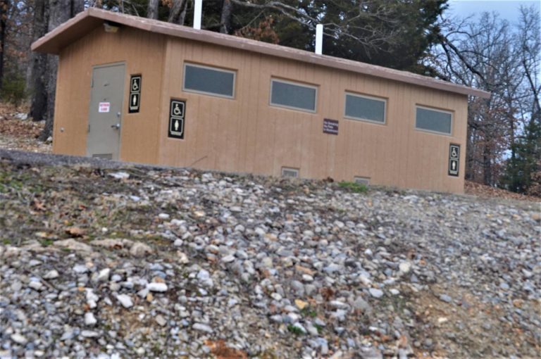
The 25 acres of campground provide many modern conveniences for campers. Sites are equipped with electric hookups and access to flush toilets and showers.

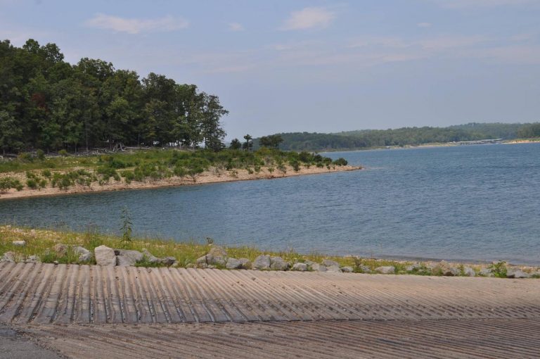
A boat ramp and swim beach offer convenient access to the lake.

Natural Features

Norfork Lake, a 22,000-acre recreation lake, stems from the North Fork River in northern Arkansas. The lake is about 25 miles east of Bull Shoals Lake, and cuts through the Ozark Mountains.

The Ozarks Range, in geological terms, is a heavily eroded plateau. It was shaped and carved by hundreds of streams over several thousand years, creating beautiful rugged terrain.

Nearby Attractions

Head south to the Ozark National Forest to explore 1.2 million acres of protected Ozark terrain.

There, visitors can tour the Blanchard Springs Caverns, a living cave still in the process of formation.

Reservation

More from CampingHiking.net:

OLD HIGHWAY 86, Missouri Campground Images, Info & Reservations

Directions From Branson, Missouri, take Highway 65 and turn west onto Highway 86. After 6 miles turn north on Highway UU and follow signs to the campground. Phone 417-779-5376 Activities BIKING, BOATING, CAMPING, FISHING, HIKING, PICNICKING, VISITOR CENTER, WATER SPORTS, WILDLIFE VIEWING, DAY USE AREA, SWIMMING, KAYAKING Keywords OL86,TABLE ROCK

SUNSET, Oregon Campground Images, Info & Reservations

Directions From Klamath Falls, go 32 miles northwest on Highway 140. Turn south on Dead Indian Memorial road and continue approximately 2.5 miles to the campground. Phone 866-201-4194 Activities BIKING, BOATING, CAMPING, FISHING, HIKING, SWIMMING SITE Keywords SUSE,LAKE OF THE WOODS,WINEMA NF – FS Related Link(s) Rec Area Info &

SILVERTIP CABIN, Montana Campground Images, Info & Reservations

Directions From Hungry Horse, drive east on Highway 2 to Martin City, then south on Forest Road 38. Drive about 55 miles on a winding, gravel road, along Hungry Horse Reservoir. At the junction with Diamond R Guest Ranch, turn east on Forest Road 568 and travel approximately 15 miles.

WASHUNGA BAY, Oklahoma Campground Images, Info & Reservations

Directions From Kaw City, Oklahoma, travel nearly 3 miles east on Highway 11, turn north onto County Road. Follow signs for about 5 miles to the campground. Phone 580-762-5611 Activities BOATING, CAMPING, FISHING, WILDLIFE VIEWING Keywords WABA,KAW LAKE,KAW LAKE Related Link(s) Rec Area Info & Images Oklahoma State Road Conditions

FRANKLIN LAKE, Wisconsin Campground Images, Info & Reservations

Directions Drive approximately 8 miles east from Eagle River on Highway 70. Turn south onto Military Road/Forest Road 2178 and continue about 2 miles, to Butternut Lake Road/Forest Road 2181, and continue approximately 4 miles to the campground. Phone 715-479-2827 Activities BOATING, HISTORIC & CULTURAL SITE, CAMPING, INTERPRETIVE PROGRAMS, FISHING,