
Directions
Take US 400 north exit 14, turn right on Highway 20 east, turn left onto Sanders Rd, at first stop sign turn right on Buford Dam Rd. Campground is on the left.
Phone
770-887-0592
Activities
BOATING, CAMPING, FISHING, PICNICKING, SWIMMING SITE, SWIMMING, WATER ACTIVITIES, WATER ACCESS
Keywords
SAWN,LAKE LANIER,SUWANEE,LAKE SIDNEY LANIER,BUFORD DAM
Related Link(s)
Overview
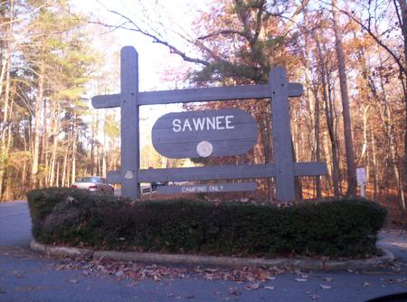
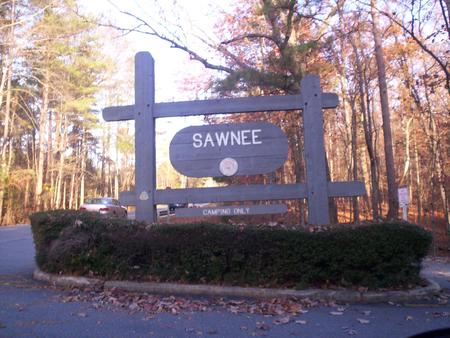
Sawnee Campground lies just north of the Buford Dam on Lake Sidney Lanier. The campground features beautiful views of the lake as well as excellent access to boating and swimming. The lake, named for the poet, Sidney Lanier, is well known for its aqua-blue colored water, spectacular scenery and variety of recreational activities. Each year, over 11 million people come to visit.
Recreation
Sawnee Campground offers many outdoor recreation opportunities including fishing and swimming. On the lake there are opportunities for wake boarding, kayaking, boating and much more. There’s also a swimming beach, playground and boat ramp available for campers.
Facilities
Sawnee Campground offers 43 campsites with electric and water hookups (no sewer), 5 tent walk-in campsites with water and electric hookups, and 11 walk-in campsites without hookups. Additional amenities include restrooms/bathouses, laundry facilities, a playground and sandy swimming beach.
Natural Features
Lake Lanier boasts 38,000 surface water acres, 690 miles of shoreline and over 100 small islands. Its location in the forested foothills of the Georgia Blue Ridge Mountains, makes for a beautiful backdrop to any activity. The reservior was created in 1956 with the completion of Buford Dam on the Chattahoochee River.
Nearby Attractions
Take in views of the dam at the nearby Westbank Overlook, or head northwest of the campground for scenic drives and wildlife spotting opportunities at the Sawnee Mountain Preserve. The city of Cumming is nearby and has shopping, restuarants, a fairground and much more.
Charges & Cancellations
Cancellations must be made via the online/phone reservation system or in person at the gatehouse. Cancellation calls to the gatehouse will not be honored.