

Directions
From I-40, take Exit 258, travel north on HWY 53/25, turn right on SR-26 and travel for 2 miles. Turn right on Corps Lane and follow signs into recreation area.
Phone
615-735-1034
Activities
BOATING, PICNICKING, WILDLIFE VIEWING, DAY USE AREA, MOTOR BOAT, WATER ACCESS
Keywords
TARA,CORDELL HULL LAKE,SHELTER AT THE DAM,SHELTER BELOW THE DAM,THE DAM SHELTER,SHELTER ON THE DAM ROAD,CORDELL HULL DAM
Related Link(s)
Tennessee State Road Conditions
Overview
Tailwater Recreation Area is located just below Cordell Hull Lake and Dam on the Cumberland River System, outside the town of Carthage, TN. The lake itself was named after one of America’s outstanding statesmen and one of Tennessee’s finest volunteers. Hull was born in a log cabin in the foothills of the Cumberland Mountains.
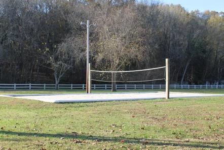
Families and friends enjoy coming to the lake for boating, fishing, swimming, hiking, hunting and relaxing in the outdoors.
Recreation
Boating and fishing opportunities abound on the Cumberland River below the dam. Cordell Hull Lake is a 12,000-acre lake that stretches 72 miles upstream and has 381 miles of shoreline, offering recreational activities for just about any type of visitor.
Anglers enjoy fishing for white bass, rockfish, largemouth bass, catfish, shad, and crappie. Boating, sailing, water skiing and jet skiing are popular activities on the water.
Facilities
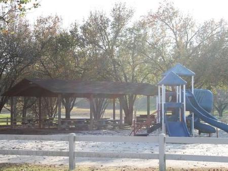
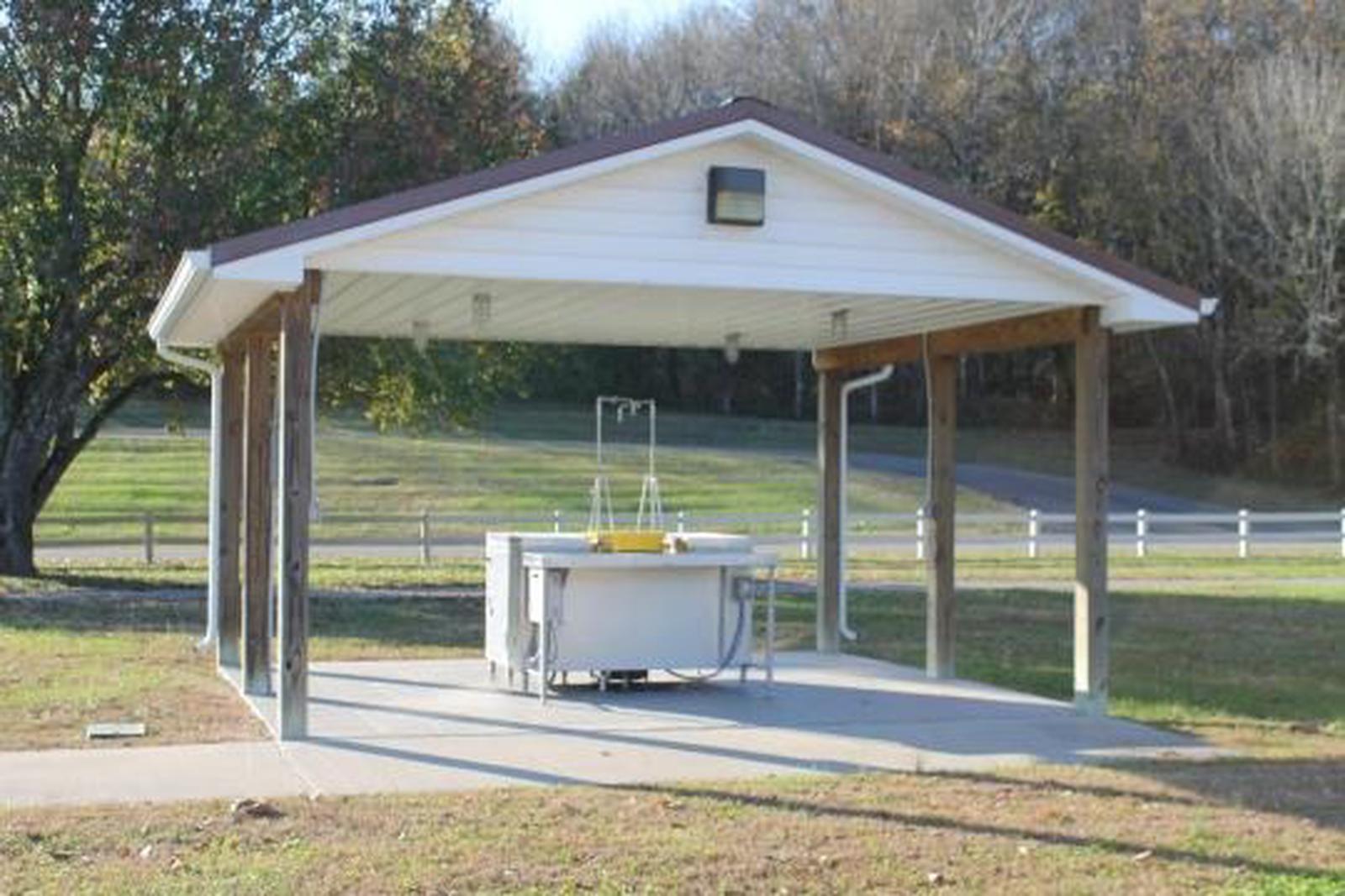
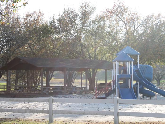
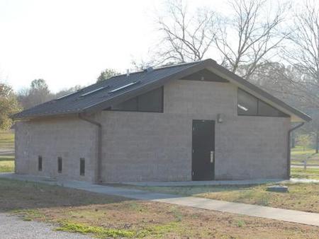
This day-use area offers one large, group shelter. Amenities include flush toilets, drinking water, a playground, interpretive trail and boat ramp.
Natural Features
The Cumberland River runs along the park, which is wooded with a mix of shady maple, hickory, oak, beech, and chestnut trees. The lake is situated among scenic rolling hills. Summer temperatures range from the 60s to the 90s.
Wildlife is abundant around the lake. Whitetail deer, wild turkeys, quail, squirrels, rabbits, and a wide variety of waterfowl are commonly seen throughout the area.
Nearby Attractions
The historic town of Granville, TN is a 45-minute drive from the campground. Visitors enjoy celebrating the town’s Heritage Day annually in May. Events include the Uncle Jimmy Thompson Bluegrass Festival, antique car and tractor shows, and Confederate Civil War living history presentations.