SPRING CREEK, CA Campground Reservation, Info, Images, Map, Directions

SPRING CREEK, California Campground Images, Info & Reservations

Directions

From Reno, travel north on Highway 395. Turn west on Highway 70 and travel 5 miles to Chilcoot. Turn north on Highway 284, travel 8 miles to the Frenchman Lake Reservoir, turn right, cross the dam, and travel 2 miles to the Spring Creek Campground.

Phone

530-836-2575

Activities

BOATING, CAMPING, FISHING, HIKING, HUNTING, WATER SPORTS, WILDLIFE VIEWING, SWIMMING SITE

Keywords

SPCR,PLUMAS NF – FS

Related Link(s)

Rec Area Info & Images

Forest Service Concessionaire

California State Tourism

California State Road Conditions

Overview

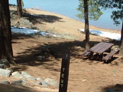
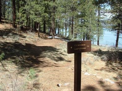
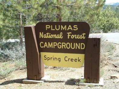
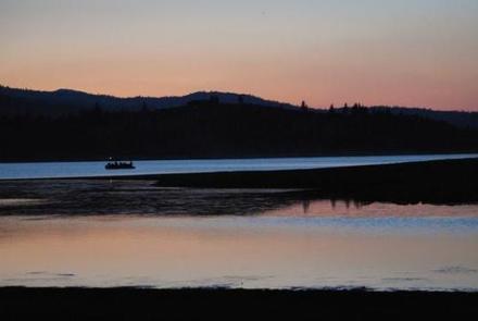
Spring Creek Campground (5,800 feet) is just minutes away from the clear waters of the Frenchman Lake. The landscape provides a magnificent backdrop for a variety of recreational activities. The campground offers 35 camp sites with 12 sites available for reservation. 

Recreation

During summer, the campground offers a variety of outdoor experiences including hiking, biking, picnicking and hunting. The nearby lake provides ample opportunities for swimming, boating, water skiing and jet skiing. The expansive road system in Plumas National Forest is a great location for exploration and sightseeing. 

Facilities

The campground offers single-family campsites for tent and RV camping, including one accessible site (#23). The campground has paved roads and paved parking pads. Host, water and garbage service are provided during peak camping season. Two group campsites are available. All campsites are equipped with tables and campfire rings with grills. Bear resistant lockers are not provided. Campground host, paved roads Vault toilets and drinking water are provided.

Natural Features

This campground is at the interface between mountains and high desert and between the Sierra Nevada and Cascade mountain ranges. Ancient lava that flowed across the land has been eroded by creeks forming interesting landscapes. 

Nearby Attractions

Little Last Chance Canyon Scenic Area

Sierra Valley – Largest valley in the Sierra Nevada

Stores and services in the towns of Chilcoot and Loyalton

Reservation

More from CampingHiking.net:

Toto Creek Campground, Georgia Campground Images, Info & Reservations

Directions Physical address is 154 Toto Creek Park Rd., Dawsonville, GA 30506 From Georgia Highway 400 North, exit left for Harmony Church Rd. heading east; stay straight onto Price Rd.; turn right on Toto Creek Park Rd.; turn right to continue on Toto Creek Park Rd.; road dead ends into

JORDAN LAKE CABIN, Alaska Campground Images, Info & Reservations

Directions The cabin is approximately 15 miles from Ketchikan within the Naha Recreation Area. It is on the southwest shore of Jordan Lake along the Naha River National Recreation Trail. Access is either by boating to Naha Bay and hiking 4 miles, or by floatplane to the trail at Heckman

SANTA BARBARA ISLAND, California Campground Images, Info & Reservations

Directions Boat transportation can be arranged with Island Packers from Ventura Harbor. To park headquarters in Ventura, California: Highway 101, exit Victoria or Seaward to Ventura Harbor. Phone 805-658-5730 Activities BOATING, CAMPING, INTERPRETIVE PROGRAMS, FISHING, HIKING, PICNICKING, VISITOR CENTER, WATER SPORTS, WILDLIFE VIEWING, WILDERNESS, INFORMATION SITE, PHOTOGRAPHY, SWIMMING, SNORKELING, RANGER

GOOSE POINT, Virginia Campground Images, Info & Reservations

Directions From HWY 220, take the Bassett, VA exit onto HWY 57 West. Go approximately 10 miles to Goose Point Road. Look for brown Goose Point Park sign, turn right, then go 5 miles on a paved road to the park entrance. Phone (276) 629-1847 Activities BOATING, CAMPING, HIKING, DAY

LINDER POINT CAMPGROUND, Iowa Campground Images, Info & Reservations

Directions From Interstate 80 (Iowa City, Iowa), take Exit 244 towards Dubuque St./North Liberty. Travel north on Dubuque St. for 3 miles and turn right onto West Overlook Rd. NE. Travel on West Overlook Rd. NE for 0.7 miles. The entrance to the Linder Point Campground will be located on

HALLSTED, California Campground Images, Info & Reservations

Directions From Oroville, travel east on Highway 70 for about 65 miles. From Quincy, travel west on Highway 70 for 17 miles. Phone 530-283-0555 Activities CAMPING Keywords HALL,TWAIN,FEATHER RIVER CANYON,PLUMAS NF – FS Related Link(s) Rec Area Info & Images California State Road Conditions California State Tourism Forest Service Concessionaire