

Directions
From either east bound or west bound Interstate 80 take exit 121, Auburn Ravine Road to Foresthill. Continue east for 17 miles, to Foresthill. Travel through town, about 9 miles, to Forest Road 10/Sugar Pine Road. Turn left and continue 9 miles to the Sugar Pine Campgrounds road (approximately 1 mile after crossing the Sugar Pine Reservoir dam). Turn right and continue about 1.5 miles, turn left into the campground.
Phone
530-367-2224
Activities
BOATING, CAMPING, FISHING, HIKING, SWIMMING, MOUNTAIN BIKING, WATER ACTIVITIES, NON-MOTORIZED BOATING, WATER ACCESS
Keywords
SHCR,Sugar Pine,Sugar Pine Reservoir,TAHOE NF – FS
Related Link(s)
California State Road Conditions
Overview
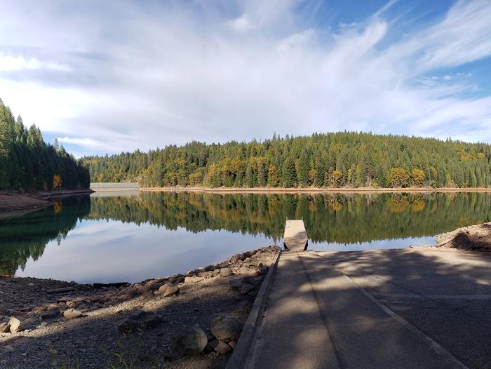
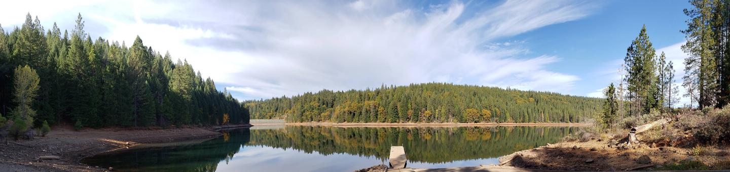
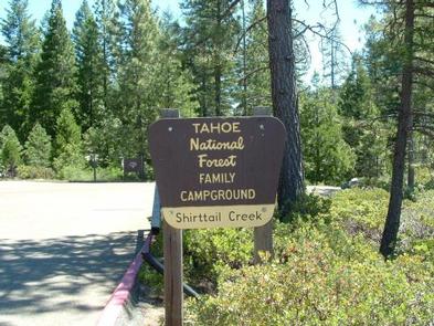
Shirttail Campground is located on the north shore of Sugar Pine Reservoir, in the Tahoe National Forest, 15 miles from Foresthill. Visitors enjoy the area for its fishing, boating, OHV, and hiking opportunities. This facility is operated and maintained by the Tahoe National Forest.
Recreation
Fishing, swimming and both motorized and non-motorized boating are popular activities on the reservoir. A paved, non-motorized accessible trail connects recreation sites on the north shore with recreation sites on the south shore and has interpretive signs and shaded benches for rest breaks. The North Fork of the American River is nearby, with additional fishing, white water boating, and swimming. Many miles of hiking, biking and off-road vehicle trails are in the surrounding area.
Facilities
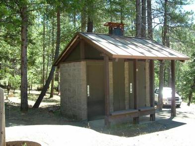
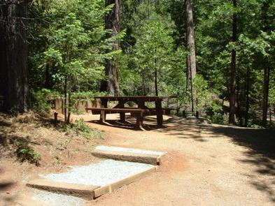
The campground offers single and double family campsites and one triple site; a few of the campsites are accessible. Picnic tables, campfire rings and grills are provided, as well as vault toilets and drinking water. Firewood is available for purchase from the host.
Natural Features
Sugar Pine Reservoir covers 160 acres at an elevation of 3600 feet. The campground lies above the north shoreline, in a forest of manzanita and ponderosa pine. Summertime temperatures are warm during the day and cool at night.
Nearby Attractions
Shirttail Creek Campground is a recreation site within the Sugar Pine Recreation Area which includes an additional family campground, a group campground, a boat ramp, and a day use picnic site, as well as a trail that circles the entire lake. The North Fork American Wild And Scenic River can be accessed near by. Other recreation opportunities include many hiking, equestrian, mountain biking, and OHV trails.