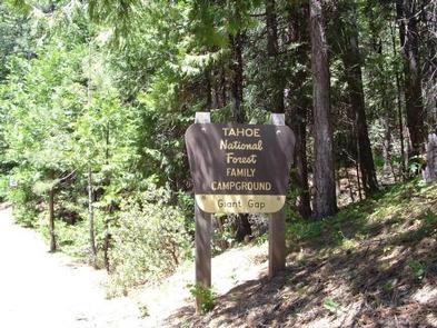
GIANT GAP, CA Campground Reservation, Info, Images, Map, Directions

GIANT GAP, California Campground Images, Info & Reservations

Directions

From Interstate 80, take the Auburn/Ravine Road exit. Continue east for 17 miles to Foresthill. Travel through town, about 9 miles, to Forest Road 10/Sugar Pine Road. Turn left and drive 9 miles, crossing a boat ramp and the dam, to the Sugar Pine Campground. Turn right and continue over a mile to the campground.

Phone

530-367-2224

Activities

BIKING, BOATING, CAMPING, FISHING, HIKING, SWIMMING SITE

Keywords

GIGA,Sugar Pine Reservoir,TAHOE NF – FS

Related Link(s)

Rec Area Info & Images

California State Road Conditions

California State Tourism

Overview

Giant Gap Campground is located on the north shore of Sugar Pine Reservoir, in the Tahoe National Forest. It is just 15 miles from Foresthill. Visitors enjoy the surrounding area for its fishing, canoeing,  OHV and hiking opportunities.

Recreation

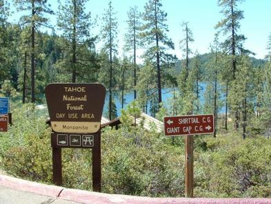
Fishing, canoeing, swimming and boating are popular activities on the reservoir. A paved, non-motorized trail circles the campground and connects to the day use area and Shirttail Creek Campground.

The North Fork of the American River is nearby, with additional fishing and swimming. Many miles of hiking and off-road vehicle trails are in the surrounding area.

Facilities

The campground offers several single- and double-family campsites, a few of which are accessible. Picnic tables, campfire rings and grills are provided, as are vault toilets and drinking water. Firewood is available for purchase from the host.

Natural Features

The campground and the adjacent 160-acre Sugar Pine Reservoir are situated at an elevation of 3,600 feet. The campground is situated in stands of cedar and ponderosa pine trees. Summertime temperatures are hot during the day and cool at night.

Reservation

More from CampingHiking.net:

PASS CREEK CAMPGROUND, California Campground Images, Info & Reservations

Directions Take Interstate 80 to the Truckee/Highway 89 exit. Follow Highway 89 north for 17 miles to the Jackson Meadows turnoff. Travel west on Forest Road 07 for 18 miles to Jackson Meadows Reservoir. Turn at the Pass Creek Campground sign. Phone 530-265-8861 Activities BIKING, BOATING, CAMPING, FISHING, HIKING, HUNTING,

LITTLE CULTUS CAMPGROUND, Oregon Campground Images, Info & Reservations

Directions From Bend, OR: Travel 46.0 miles southwest on Cascade Lakes Hwy (46), then 0.8 miles west on Forest Road 4635, then 1.7 south on Forest Road 4630, and then 1.0 miles west on Forest Road 4636 Phone 541-323-1746 Activities BOATING, CAMPING Keywords Related Link(s) Rec Area Info & Images

DOLL MT. CAMPGROUND, Georgia Campground Images, Info & Reservations

Directions From Atlanta, take I-75 north to Exit 293, then Highway 411 north to Highway 136. Turn right on Highway 136 and follow to Highway 382. Turn left on Highway 382 and look for signs to the campground– access road is directly across from the volunteer fire station. Physical address

AUSABLE RIVER CAMPING, Michigan Campground Images, Info & Reservations

Directions Designated campsites are spread along 55 miles of river shoreline between the AuSable River Access at 4001 Bridge (7 miles northwest of Glennie, MI) to near the Whirlpool AuSable River Access (4 miles west of Oscoda, MI). For more information on specific campsites, click here. Phone 989-362-8961 Activities BOATING,

LOST LAKE CAMPGROUND, Wisconsin Campground Images, Info & Reservations

Directions From Florence, travel west 17 miles on STH 70 to the intersection with FR2450 (Dream Lake Road). Turn left (south) on FR2450 and drive 1 mile to FR2156 (Chipmunk Rapids Road). Continue straight 2.9 miles on FR2156 to the campground. Phone (715) 479-2827 Activities BIKING, BOATING, CAMPING, FISHING, WILDLIFE

LITTLE BEAR CABIN, Montana Campground Images, Info & Reservations

Directions From Bozeman, MT: Drive west towards Four Corners, then south towards Big Sky/West Yellowstone on US Highway 191 for 14 miles to Little Bear Road which is on the left (east) side of Highway 191. This road turns into Forest Service Road 980. Summer, June 16 to December 31: