
Directions
From Florence, travel west 17 miles on STH 70 to the intersection with FR2450 (Dream Lake Road). Turn left (south) on FR2450 and drive 1 mile to FR2156 (Chipmunk Rapids Road). Continue straight 2.9 miles on FR2156 to the campground.
Phone
(715) 479-2827
Activities
BIKING, BOATING, CAMPING, FISHING, WILDLIFE VIEWING
Keywords
Related Link(s)
Wisconsin State Road Conditions
Overview
Please note, this is Lost Lake Campground located in northern Wisconsin on the Chequamegon-Nicolet National Forest.
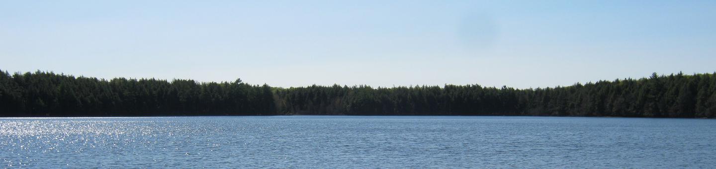
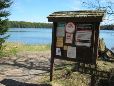
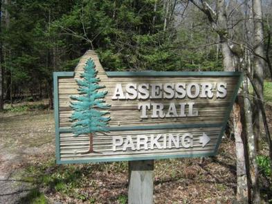
Lost Lake Campground is located in northeastern Wisconsin on the north shore of Lost Lake in a maple, aspen and white pine forest. The clear, 86-acre lake is stocked with rainbow and brown trout. No motors are permitted on Lost Lake. The Assessor’s Nature Trail, which passes through a 150-year old hemlock and white pine stand, is located adjacent to the campground. The 3.3-mile-long Ridge Trail is also accessed from the trailhead adjacent to the campground. This trail links Lost Lake to Chipmunk Rapids Campground and the Lauterman National Recreation Trail.
Recreation
The lake provides opportunities for fishing, swimming and non-motorized boating. Anglers can expect to catch bass, trout and panfish. No motors are allowed on the lake including electric motors. Numerous trails exist in the area, many beginning in the campground and extending miles to other trail systems. The Lost Lake trail loops the lake itself and travels through old growth hemlock forests. The Assessor’s Nature Trail also extends from the campground and provides views of 150-year old pine stands. The Ridge trail extends from Lost Lake Campground to Chipmunk Rapids Campground and eventually on to the Lauterman National Recreation Trail. A variety of wildlife make its home in the area, including resident American bald eagles and loons. The sounds of your visit will not be soon forgotten.
Facilities
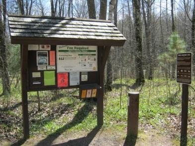
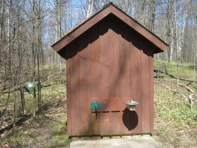
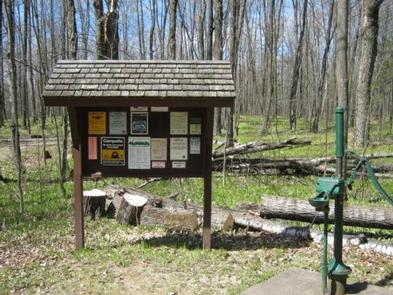
The campground offers 27 single family campsites, available for tent and RV camping. The campground offers both first-come, first-served campsites as well as sites which can be reserved in advance. Sites are equipped with tables and fire rings with grills. Vault toilets are available at the site, as well as drinking water, from a pressurized system or a hand-pump.
Natural Features
The campground is situated on the shore of crystal clear Lost Lake in a stand of maple, aspen and towering white pine trees. Lost Lake, at 86 acres, offers a relaxing paddle as no motors are allowed on this lake. A sandy beach area is available to enjoy the water.
Nearby Attractions
The Town of Florence is located east of the campground approximately 20 miles. Florence offers a variety of services and visitor information.