


Directions
From Bend, drive south on Highway 97 for 22 miles. Head east on Road 21 for 3 miles. Ogden Group is on the left.
Phone
541-383-5300
Activities
CAMPING
Keywords
OGDE,DESCHUTES NF – FS
Related Link(s)
Overview
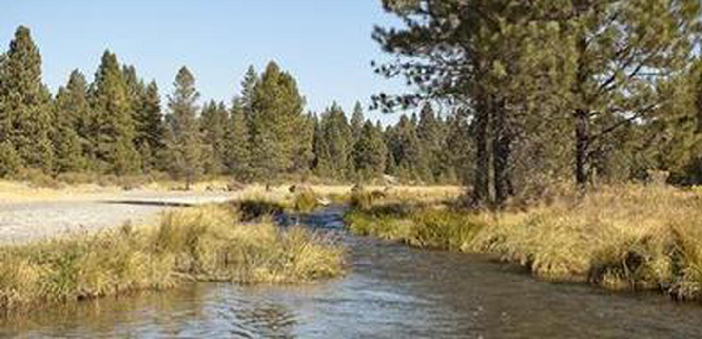
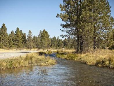
Ogden Group campground is located in the high desert region of central Oregon, on the scenic Paulina Creek. The campground is surrounded by scenery that sets the stage for fantastic recreational opportunities in Deschutes National Forest.
This group campground is ideal for large scout groups, school outings, and family reunions, and provides plenty of opportunities for excursions to scenic rivers, lakes, and lava flows, typical to the area.
Recreation
Boating, swimming and fishing are popular activities enjoyed by visitors during spring, summer and fall months, while skiing and snowmobiling are popular during the winter.
Anglers have the opportunity to fish in the surrounding clear, cold lakes and streams for abundant salmon and trout.
Hikers and backpackers have access to a variety of trails in the area, including several in Newberry National Volcanic Monument.
The Crater Rim Trail is a favorite high country trail, boasting vast stretches of forest, deserts, and mountains extending from all sides of the trail.
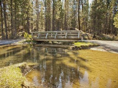
The Peter Skene Ogden National Scenic Trail is accessible from the campground and parallels Paulina Creek, passing several waterfalls along the way, as it ascends 8.5 miles to the spectacular Paulina Lake.
Facilities
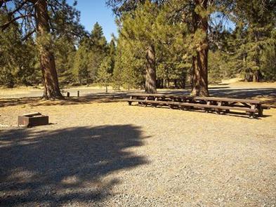
Ogden Group Campground is a large campground, offering two spacious sites for group tent and RV camping.
Each of the sites can accommodate at least 150 people and both sites may be reserved at once for up to 350 people and greater privacy.
Tables, vault toilets and drinking water are available at the campsite.
Natural Features
Visitors can get a glimpse of area’s unique geological features by exploring nearby Newberry National Volcanic Monument. While exploring the Monument, visitors are able to see numerous cinder cones and basalt flows as well as rhyolite flows of obsidian, indicative of a history of spectacular volcanic activity.
Newberry Crater, a 17-square-mile caldera at the summit of the 500-square-mile volcano, is both seismically and geothermally active. Geologists believe the caldera sits over a shallow magma body only 2 to 5 kilometers deep.
At an elevation of 7,985 ft., Paulina Peak, the highest point in the Monument, showcases views of the Oregon Cascades and the High Desert region. Visiting the summit area of Newberry Volcano, visitors will encounter sparkling alpine lakes full of trout and salmon.
Nearby Attractions
Lava Lands Visitor Center in nearby Bend, Oregon, is a great starting point for visitors to learn about the diverse landscape and history of the area through interpretive programs and exhibits.
Visitors can explore the Lava River Cave, also located in the Newberry National Volcanic Monument. At 5,211 feet (1,588 m) in length, the northwest section of the cave is the longest continuous lava tube in Oregon.