WEST EAGLE CAMPGROUND, CA Campground Reservation, Info, Images, Map, Directions

WEST EAGLE CAMPGROUND, California Campground Images, Info & Reservations

Directions

From Susanville, California, take Highway 36 for 2 miles west to County Road A-1. Turn north and continue 14 miles to the Eagle Lake Recreation Area, following the signs to the campground.

Phone

530-825-3212

Activities

BOATING, CAMPING, HIKING, WINTER SPORTS, WATER SPORTS, WILDLIFE VIEWING, SWIMMING SITE

Keywords

WEEA,LASSEN NF – FS

Related Link(s)

Rec Area Info & Images

California State Tourism

California State Road Conditions

Forest Service Concessionaire

Overview

West Eagle Campground is part of the Eagle Lake Recreation Area in the Lassen National Forest, which offers a variety of lakes, streams and wilderness areas and an abundance of recreation opportunities.

In addition to water sports on the lake, the area also offers miles of trails that are used year-round for hiking and mountain biking and by snowmobiling enthusiasts during the winter months.

Recreation

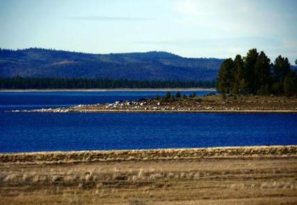
The 27,000-acre lake provides ample boating, swimming, water skiing and sailing opportunities. Visitors also enjoy the plentiful trout fishing. A boat ramp can be found not far from the campground, and a beach is located at the nearby Aspen Campground.

The campground offers access points for miles of trails within the Eagle Lake Recreation Area. A 6-mile hiking, biking and horseback riding trail parallels the lake and winds through the surrounding forest.

Facilities

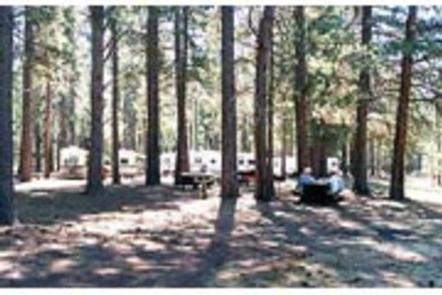
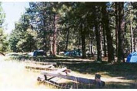
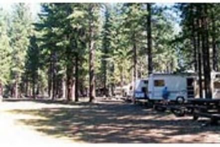
West Eagle Campground offers two group sites for tent or RV camping. One site can accommodate up to 75 guests, while the other is rated for up to 100 guests.

Each site is equipped with tables and campfire rings with grills. Accessible flush toilets, electricity and drinking water are provided. Firewood is available for purchase.

Natural Features

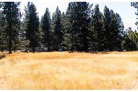
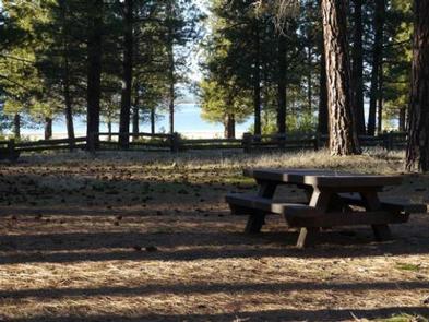
The campground is located on the southeastern shores of Eagle Lake, in northeastern California, at an elevation of approximately 5,100 feet. It is nestled in a forest of mature pine trees with a grassy understory. A few sites offer sweeping views of the adjacent lake and some have space to moor a boat.

Reservation

More from CampingHiking.net:

LONE BRANCH, Tennessee Campground Images, Info & Reservations

Directions From Nashville, TN, take I-40 East to exit 229-B/Golden Bear Gateway. Continue straight on Golden Bear Gateway for approximately 9 miles. Entrance to the recreation area will be on your left just passed Cedar Creek Club. * Golden Bear Gateway turns into Benders Ferry Road at the US-70/Lebanon Road

DRAKE PEAK LOOKOUT, Oregon Campground Images, Info & Reservations

Directions From the Lakeview Ranger District Office, travel 6 miles north on Highway 395, and turn right on Highway 140. Take Highway 140 east for 8 miles, then turn left on Forest Road 3615. Continue on Forest Road 3615 for 7.5 miles and turn right on Forest Road 019. Follow

UMPQUA SAND CAMPING, Oregon Campground Images, Info & Reservations

Directions From Reedsport Oregon, travel 2 miles south on Highway 101 to Winchester Bay. Turn right on Salmon Harbor Drive. Proceed 4 miles to the Oregon Dunes National Recreation Area. Access the sand either at boundary, 2nd Beach Parking Sand Access, or 3rd Beach Parking Sand Access. Phone 541-271-6000 Activities

LAKE SPRINGS, Georgia Campground Images, Info & Reservations

Directions From Augusta, GA, travel 22 miles west on GA-104, then 4 miles north on US HWY 221. Phone 800-533-3478 Activities BIKING, BOATING, FISHING, HIKING, PICNICKING, DAY USE AREA, SWIMMING SITE, SWIMMING, ACCESSIBLE SWIMMING, LOOKOUT TOWER Keywords LASC,J STROM THURMOND LAKE Related Link(s) Rec Area Info & Images Georgia State

SILVER LAKE EAST- ELDORADO, California Campground Images, Info & Reservations

Directions From Pioneer, CA, take State Route 88 east 36.6 miles to campground on right. Phone 209-258-2287 Activities CAMPING, FISHING, HIKING, SWIMMING SITE Keywords SILE,SILVER LAKE EAST ELDORADO,ELDORADO NF – FS Related Link(s) Rec Area Info & Images California State Tourism California State Road Conditions Forest Service Concessionaire Overview Silver

South Abutment Recreation Area, Mississippi Campground Images, Info & Reservations

Directions From I-55, take the Hernando, Mississippi exit and follow Scenic Route 304 to the main dam. Follow signs into the recreation area; the campground is just south of the dam. Phone 662-562-6261 Activities BIKING, BOATING, CAMPING, FISHING, HIKING, HUNTING Keywords SOUA,ARKABUTLA LAKE,ARKABUTLA LAKE Related Link(s) Rec Area Info &