Directions
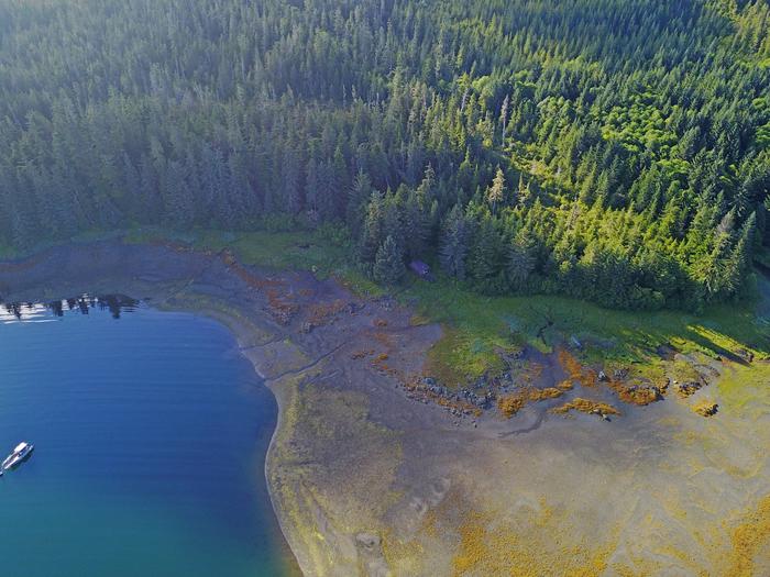
Accessible from Sitka year round, weather permitting. 30 air miles or 50 boat miles north of Sitka on Baranof Island just south of Peril Strait on the southeast shore of Appleton Cove. Access from Sitka, 25 minutes by float plane or 2 hours by boat. Occasionally winter temperatures can freeze the cove, preventing access during those times.
For geographic features surrounding the cabin, refer to USGS topographic map Sitka B-4.
Phone
907-747-6671
Activities
CAMPING, FISHING, HIKING, HUNTING, WILDLIFE VIEWING
Keywords
APPL,TONGASS NF – FS
Related Link(s)
Overview
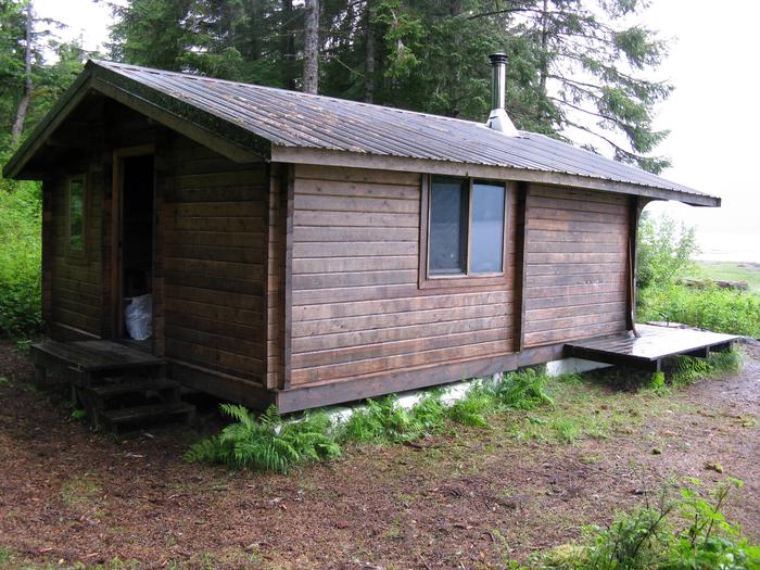
Appleton Cove Cabin was built in 1992 by Forest Service administrative crews for field housing during a period of logging. When logging was complete, the cabin became available for recreation.
The cabin is open year-round and makes an excellent base for visitors looking to enjoy saltwater fishing, hiking, mountain biking, wildlife viewing and hunting in this beautiful corner of Alaska.
The cabin is located 30 miles north of Sitka, Alaska on Baranof Island, and can be accessed by float plane or boat, weather permitting. Visitors are responsible for their own travel arrangements and safety, and must bring several of their own amenities.
Recreation
Many recreational activities are available at Appleton Cove, including saltwater fishing, seasonal deer hunting, hiking, mountain biking, off-highway vehicle riding and viewing marine wildlife. Anglers cast for Dolly Varden and pink, chum and coho salmon.
A system of isolated logging roads are near but not connected to the cabin, allowing hiking and off-highway vehicle opportunities. Use caution on these rugged roads.
For information about fishing and hunting permits and seasons, visit the Alaska Department of Fish and Game website.
Facilities
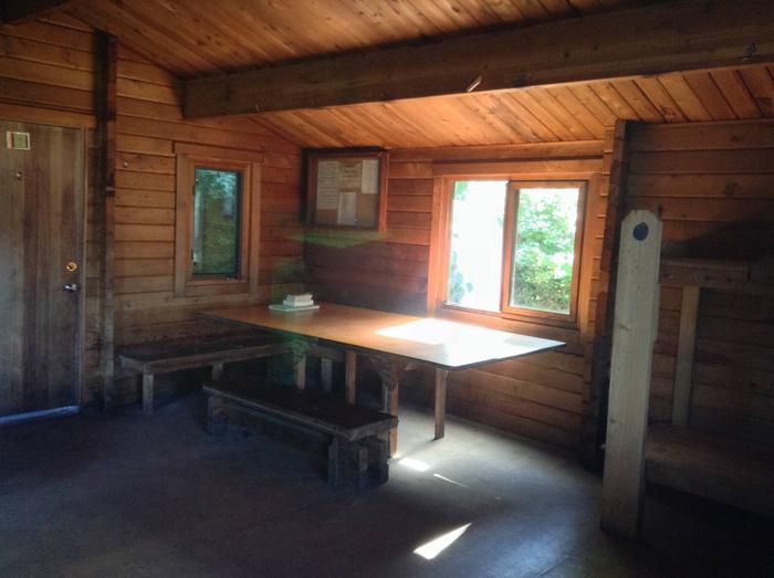
The one-room cabin sleeps five people and contains one double plywood bunk bed and three single plywood bunk beds (no mattresses). The cabin is equipped with a table and benches, a cooking counter, a cupboard and a broom. The cabin offers an oil stove for heat, but visitors must bring their own supply of #1 diesel fuel (10 gallons for a 3-day stay, more or less depending on the time of year).
Visitors must bring their own sleeping bags and pads, a cooking stove, pots, pans, plates, utensils, food, toilet paper, a lantern, garbage bags, a fire extinguisher and fire starter. Rubber boots and rain gear are recommended.
Water is available from the stream behind the cabin. Treat all water before using. It’s recommended that guests bring their own water supply. Learn about water safety.
A mooring buoy for boat anchorage is available on a first-come, first-served basis to cabin visitors and general forest users. Cabin reservation does not include exclusive use of the buoy. Mooring buoys are configured using a 4200-lb concrete block with 90 feet of 7/8th-inch stud link chain. Mariners are responsible for determining how suitable an anchoring system is for the size of their craft.
Click here for additional cabin information and maps.
Natural Features
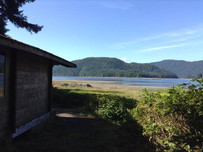
The cabin faces south and sits on the flat shoreline of Appleton Cove amid a tall, dense, hemlock-spruce forest, with views of the surrounding hills and mountains. Appleton Cove lies off Rodman Bay south of Peril Strait.
Learn about bear safety and precautions.


