MAUMELLE, AR Campground Reservation, Info, Images, Map, Directions

MAUMELLE, Arkansas Campground Images, Info & Reservations

Directions

From Little Rock, Arkansas, travel west on SR-10. Turn north on Pinnacle Valley Road and follow signs into campground. 9009 Pinnacle Valley Road Little Rock, AR 72223

Phone

501-868-9477

Activities

BOATING, CAMPING, FISHING, HIKING

Keywords

MAUM,MURRAY LOCK AND DAMR – ARK.RIV,MURRAY LOCK & DAM

Related Link(s)

Rec Area Info & Images

Arkansas State Tourism

Arkansas State Road Conditions

Overview

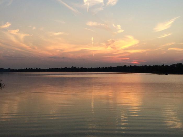
Maumelle Campground sits along the beautiful Arkansas River, offering boating, fishing and birding for outdoor enthusiasts.

Recreation

The Nuttall Trail runs through the park, offering visitors hiking opportunities. Anglers will find a selection of crappie, bream, hybrid bass, white bass and more.

A boat ramp is provided for campers to enjoy the river.

Facilities

Maumelle Campground offers 128 spacious campsites with electric hookups, along with eight large group picnic shelters. Amenities include a dock, hot showers, a boat ramp and playground.

Natural Features

The campground is set on the McClellan-Kerr Arkansas River Navigation System, a series of navigation pools used to help ships navigate upstream toward Oklahoma.

The Arkansas River is one of the Mississippi’s largest tributaries, flowing 1,450 miles from the Rocky Mountains of Colorado, through to Kansas, Oklahoma and Arkansas.

Wintering eagles can be seen in large numbers along the Arkansas River. Most of these eagles migrate from Canada and the U.S. Great Lakes region.

Nearby Attractions

The Pinnacle Mountain State Park is just two miles from the campground. The 13 mountain trails here range from easy to strenuous, and each one promises captivating scenery.

Reservation

More from CampingHiking.net:

MAGNOLIA RIDGE, Texas Campground Images, Info & Reservations

Directions From Woodville, Texas, go 11 miles east on US-190. Turn north on FM-92 and continue 1.5 miles to the park entrance road. Phone 1 (877) 444-6777 Activities BIKING, BOATING, CAMPING, FISHING, HIKING, HUNTING Keywords MAGN,TOWN BLUFF DAM,DAM B,B.A. STEINHAGEN,TOWN BLUFF DAM Related Link(s) Rec Area Info & Images Texas

HORSESHOE POINT, Virginia Campground Images, Info & Reservations

Directions From HWY 220, turn onto Henry Road (SR-605) and go 8 miles. Turn left onto Horseshoe Point Road and follow signs to the park. Phone (540) 365-7385 Activities BOATING, CAMPING, SWIMMING SITE Keywords HOPO,Philpott Lake Related Link(s) Rec Area Info & Images Virginia State Road Conditions Virginia State Tourism

INDIAN RIDGE LOOKOUT, Oregon Campground Images, Info & Reservations

Directions From Blue River, OR, travel 4 miles east on Highway 126 to Aufderheide Drive/Forest Service Road (FSR) 19. Continue south on Aufderheide Drive, taking a right at the Y and climbing to the top of Cougar Reservoir. Continue south on Aufderheide Drive past Cougar Reservoir 7 miles to FSR

TAHKENITCH CAMPGROUND, Oregon Campground Images, Info & Reservations

Directions From Reedsport, drive north 7.5 miles on Highway 101. Campground is on the west (left) side of Highway 101. Phone 541-271-6000 Activities BOATING, CAMPING, FISHING, WILDLIFE VIEWING, SWIMMING SITE, BIRDING Keywords TAHK,OREGON DUNES,SIUSLAW NF – FS Related Link(s) Rec Area Info & Images Oregon State Road Conditions Oregon State