


Directions
From I-40 take Exit 20 in North Carolina. Turn right onto Cove Creek Road and follow to the Park boundary. The road goes from pavement to gravel to pavement. Upon reaching the pavement the second time, turn left. Go 2.5 miles to an intersection and continue another .5 miles to the left.
Phone
828-497-9270
Activities
HISTORIC & CULTURAL SITE, CAMPING, FISHING, HIKING, WILDLIFE VIEWING, BACKPACKING
Keywords
Great Smokey Mountains National Park,Great Smoky Mountains National Park
Related Link(s)
National Park Services Concessionaire
North Carolina State Road Conditions
Overview
Cataloochee campground is located in the historic Cataloochee Valley–a relatively remote part of Smoky Mountain National Park. The secluded setting offers visitors the ability to enjoy a multitude of recreational activities like hiking and fishing, without the crowds, which are sometimes common in other parts of the park.
Recreation
The Cataloochee Valley features an extensive trail system that is less heavily used compared to other areas of the park. The two main trails, Caldwell Fork and nearby Rough Fork Trail, run mostly parallel to one another in the central portion of the valley. Either of these trails extend alongside scenic creeks and streams and support both hikers and horeseback riders.
For hikers only, the 3.9-mile Boogerman Trail forms a nice loop off the Caldwell Fork Trail and is less than a mile walk from the campground.
Anglers will agree that some of the best Rainbow and Brook trout fishing in the area can be found in the Cataloochee Basin, one of the most remote sections of the park. Fly fishing is particularly good during spring months when aquatic insects hatch in large numbers.
The park also holds one of the best collections of log buildings in the eastern United States. Over 90 historic structures, including houses, barns, outbuildings, churches, schools and grist mills, have been preserved or rehabilitated in the park. A handful of which can be found in the Cataloochee Valley, including the nearby Palmer House, built in 1869, which contains a self-guided museum.
Facilities
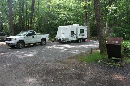
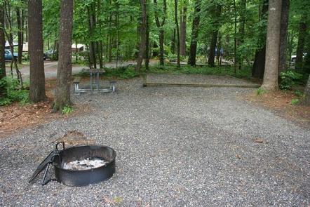
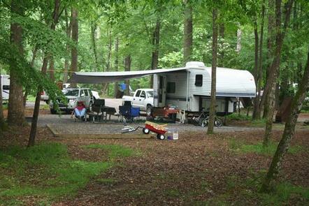
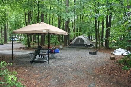
Cataloochee offers a traditional outdoor camping experience with the added convenience of flush toilets and drinking water. There are no hookups or showers at the campground.
Hiking trails and fishing streams are easily accessible from the site and the nearby Cataloochee Group Camp can accommodate larger parties of guests.
Additionally, the Cataloochee Horse Camp provides convenient camping for horseback riding enthusiasts.
Natural Features
Cataloochee Campground is surrounded by picturesque mountain ranges and pristine mountain streams, like nearby Cataloochee Creek. Elk are common in this part of the park, during the spring and fall.
At a 2,600 foot elevation, Cataloochee provides a moderate climate, characterized by mild winters and hot, humid summers. Whether blanketed in bright spring wildflowers or exploding with vivid fall colors, the scenery at Cataloochee never disappoints.
Nearby Attractions
A number of the park’s famous historical buildings, including the Steve Woody and Caldwell Houses, both built in the late 19th-century, are nearby the campground.
The Steve Woody House, built in 1880, is located along the Rough Fork trail, an easy 2-mile roundtrip hike from the parking lot at the end of Ranger Station Road.