

Directions
From I-57: Take take exit 71 and turn west onto Highway 14. After 3 miles turn right on Rend City Road, then right on Rend Lake Dam Road. Continue 3 miles to the park entrance on the left.
Phone
618-724-2493
Activities
BIKING, CAMPING, FISHING, HIKING, HUNTING, VISITOR CENTER, DAY USE AREA, SWIMMING SITE
Keywords
Spillway Group Area,Spillway Group
Related Link(s)
Illinois State Road Conditions
Overview
Congratulations! You’ve just discovered Rend Lake, the perfect place to enjoy a wide variety of activities, events, and nature at its best. Even a short visit to Rend Lake will impress you with the versatility of this magnificent area. Rend Lake is made up of 20,633 acres of water and 19,523 acres of land. Wildlife in the area includes deer, turkey, fox, raccoon, opossu, waterfowl, and others as seasons change throughout the year. Whether you’re looking for high adventure, a peaceful retreat, or something in between, you’ll find it here int he heart of Southern Illinois..
Recreation
Take a leisurely morning stroll, ski or sail lake waters, spend the afternoon viewing inspiring art exhibits and end your day by the warm glow of a campfire under starry night skies. The fields, forests and waters of Rend Lake provide a natural haven for wildlife and an outdoor wonderland for you. Boat, hike, fish, hunt, swim, and explore at your leisure. If you prefer a little less nature, visit one of the resorts around the lake and delight in superb lodging and dining. Just minutes away you’ll find golf, trap and skeet, arts, antiques, museums, wineries, and more.
Facilities
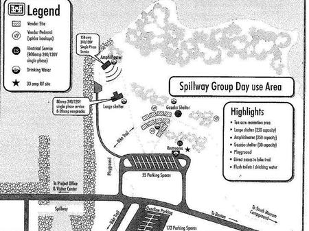
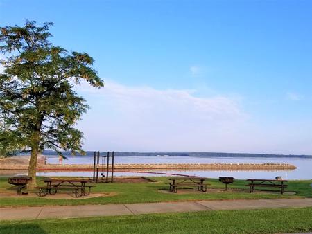
Spillway Group Area offers 10 acres for company picnics, weddings, church gatherings, family reunions and many other outdoor events. The area includes a large shelter (250 capacity) with electricity and overhead lighting, an amphitheater (250 capacity), and a small gazebo (30 capacity), a swingset, and direct access to the Rend Lake Bike Trail. The area also offers picnic tables, flush toilets, and drinking water in order to provide a comfortable experience for guests.
Natural Features
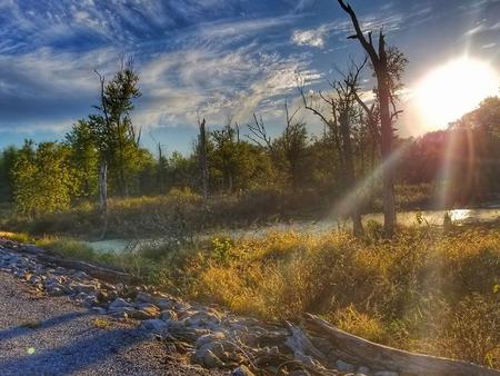
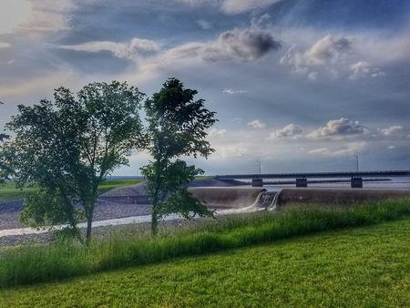
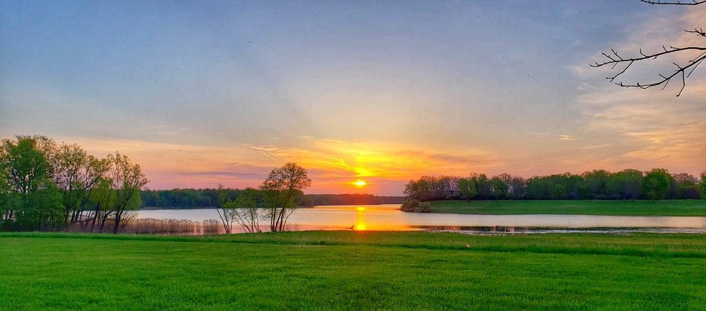
Spillway Group Area sits along the banks of Rend Lake in the heart of Southern Illinois. Situated to the North East side of the spillway, the spillway group area has one of the best views at Rend Lake. Rend Lake is made up of 18,900 acres of water and 20,000 acres of land.
Nearby Attractions
Rend Lake Dam Rend Lake Visitors Center Rend Lake Project Office