
Directions
In Holly Springs, Mississippi at the intersection of State Routes 4 and 7, take Route 4 east 1.4 miles to the Chewalla Lake sign. At the sign, bear right and go 5.7 miles to the Chewalla Lake Recreation Area sign (Forest Route 611/Chewalla Lake Road). Turn left at the sign and go 1.3 miles to the campground. Physical address is 726 Chewalla Lake Rd, Holly Springs MS, 38659.
Phone
662-236-6550, THE OXFORD OFFICE IS OPEN MONDAY – FRIDAY 7:30AM – 4:00PM, CLOSED SATURDAY/SUNDAY AND ALL FEDERAL HOLIDAYS.
Activities
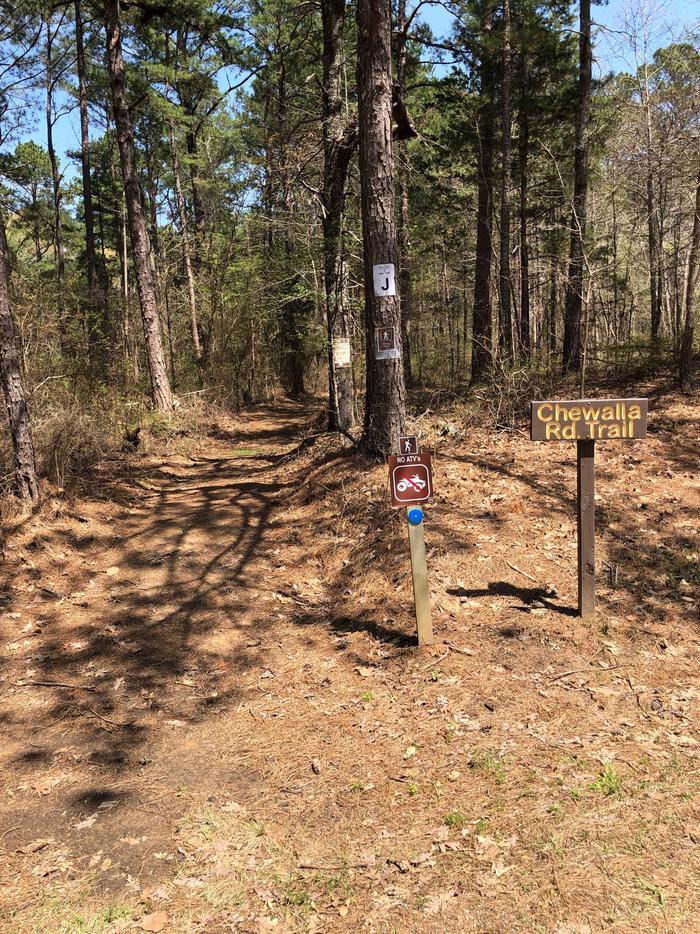
BOATING, HISTORIC & CULTURAL SITE, CAMPING, FISHING, HIKING, PICNICKING, WILDLIFE VIEWING, WILDERNESS, DAY USE AREA, SWIMMING SITE, SWIMMING, KAYAKING, CANOEING, WATER ACCESS
Keywords
Chewalla Lake,Chewalla Campground,Chewalla Lake Campground
Related Link(s)
Mississippi State Road Conditions
Overview
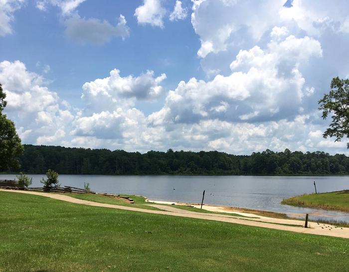
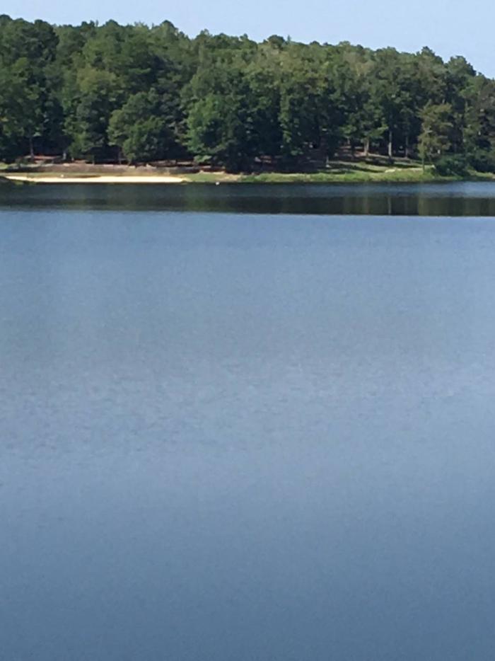
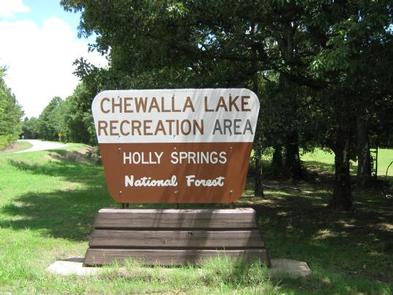
Chewalla Lake Recreation Area is located in the Holly Springs Ranger District in northern Mississippi. Visitors enjoy swimming and relaxing on the sandy beach on the lake shore, as well as canoeing, kayaking and fishing.
Recreation
Chewalla Lake covers 260 acres and is a no-wake lake, making it a perfect location for swimming, canoeing and kayaking. Anglers enjoy fishing for smallmouth bass, bream, crappie and catfish. A boat ramp is located on-site.
Facilities
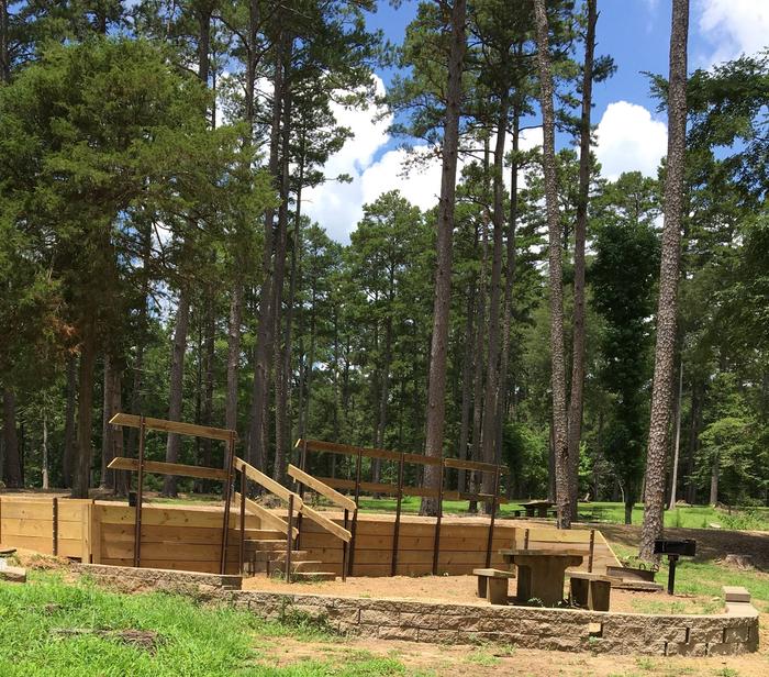
The campground offers 19 sites for tent and RV camping. Each site is equipped with a picnic table and campfire ring. Some sites have electric and water hookups. Flush toilets, showers and drinking water are provided. During the season the campground is open 24 hours and does not close on the major holidays, i.e. Memorial Day, July 4th and Labor Day, allowing families and friends to celebrate together. Don’t fret if you happen to arrive later in the day or evening for your reservation we will leave a note up on the site showing that its reserved.
Natural Features
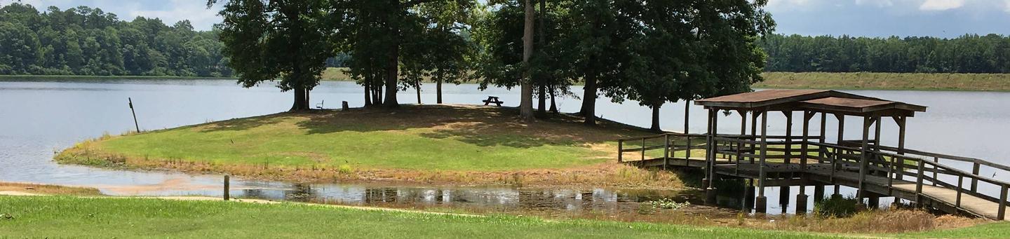
The lake is surrounded by a dense forest of pine and hardwoods, such as sweet gum and oak. Many dogwoods are scattered throughout the campground, creating a beautiful, blooming display in the springtime.
The campground lies on land once used heavily for farming. Erosion has caused deep gullies to form throughout the area, but split-rail fences line the gullies, adding character to the facility.
Nearby Attractions
Holly Springs is 8.5 miles northwest of the lake. This charming town is known as the Antebellum Capitol of the mid-south. More than 200 buildings in town are listed on the National Register of Historic Places. A variety of dining and shopping options are available, as well as grocery stores and gas stations.