
Directions
From Highway 58 at Crescent Lake Junction, follow Forest Road 60 for 9.3 miles around Crescent Lake. Travel 1 mile west on Forest Road 280 to the campground entrance gate.
Phone
541-323-1746
Activities
BIKING, BOATING, CAMPING, FISHING, HIKING, WATER SPORTS
Keywords
CPGC,Contorta,DESCHUTES NF – FS
Related Link(s)
Overview
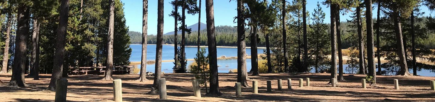
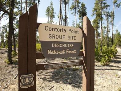
Contorta Point Group Campground is located on the south shore of Crescent Lake in Deschutes National Forest. It offers visitors the opportunity to experience scenic beauty and recreational activities throughout the Cascades region.
Recreation
Crescent Lake is a prime location for boating, fishing and swimming. The Summit Lake Trail is popular among hikers and mountain bikers, offering excellent views of Diamond Peak across Crescent Lake.
Visitors can take advantage of skiing, snowshoeing and snowmobiling in the winter months. Crescent Lake Snowpark offers a base camp for exciting winter excursions. The Summit Lake Trail is open to snowmobiling.
Facilities
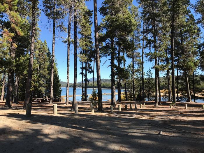
The campground offers two group sites within walking distance of the lakeshore. It can accommodate two groups of 40 or one group of 80. Approximately 10 vehicles fit at each site.
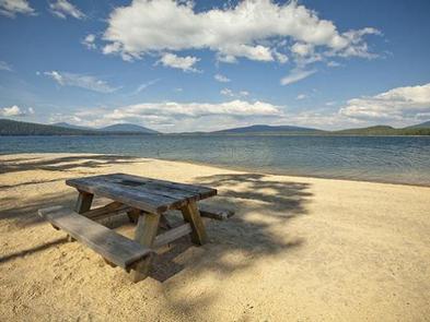
Amenities are minimal at this campground. Vault toilets are provided. Sites are equipped with tables. Roads and parking spurs are dirt. Drinking water and electrical hookups are not available.
A nearby resort on Crescent Lake offers lodging and a general store. Supplies and equipment rentals are also available.
Natural Features
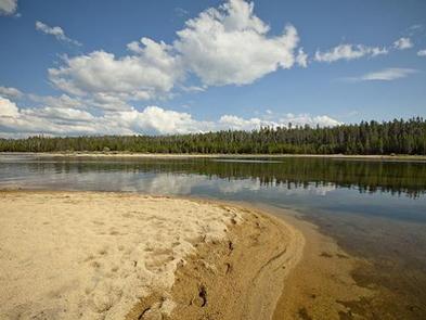
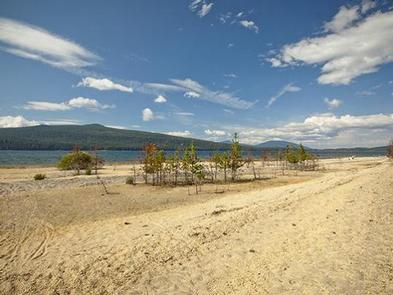
Cresent Lake is nestled in a glacier basin east of the towering Cascade Mountain Range. It boasts brilliant blue-green water and sandy beaches.
A forest of lodgepole pine provide the backdrop to the area, with mountain hemlock, fir and spruce also in the mix.
Wildlife found in the area includes deer, native fish and migratory birds.
Nearby Attractions
Visitors can explore wilderness areas, rivers, lakes and reservoirs, and approximately 1,600 miles of trails that comprise nearly 2.5 million acres within the Deschutes National Forest and the adjacent Ochoco National Forest.
Lava Lands Visitor Center in nearby Bend, Oregon, and the unique geological landscape of Newberry National Volcanic Monument draw visitors to the region as well.
Visitors enjoy traveling the Cascade Lakes Scenic Byway, known as Oregon’s Highway in the Sky, which climbs into the clouds on a 66-mile drive through the Cascade Range, weaving past snow-capped peaks and alpine lakes.