
Directions
From Z Highway, travel approximately 2 miles south on the Berry Bend Access Road.
Phone
660-438-3872
Activities
BOATING, CAMPING, FISHING, HIKING, FISH HATCHERY, SWIMMING SITE
Keywords
BERR,TRUMAN LAKE,BERRY BEND SOUTH,HARRY S TRUMAN
Related Link(s)
Missouri State Road Conditions
Overview
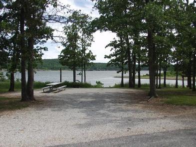
Berry Bend Campground sits on the shores of Harry S. Truman Lake in the hills of western Missouri.
Visitors enjoy fishing, hunting, swimming and boating.Click here for the Harry S. Truman Lake virtual tour.
Recreation
Berry Bend Area is an excellent fishing location. Anglers find crappie, largemouth bass and blue and flathead catfish. Truman Lake is also a popular destination for tournament fishermen.
Several miles of trails are available for hikers and horses within Berry Bend. The Park Trail is a 2.5 mile trail that is a great hike for beginners and those wanting to explore the area. The West Trail is approximately 10 miles and traverses many steep ridges and valleys, while the East Trail is approximately 16 miles and is somewhat more level and overlooks the lake in several areas. Both the West and the East trails have cut through trails for riders that dont wish to go the entire route.
Facilities
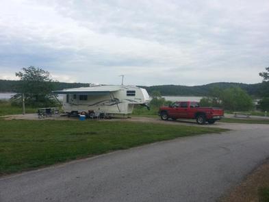
This large, year round campground offers two loops. B loop consists of eight campsites. B1 is a primitive site and the rest are very spacious with full hook-ups including 50 amp electricity, water and sewer. There is a flush toilet in the B loop but no showers. Campers needing shower facilities must use the shower house in the C Loop. C Loop offers 110 sites with 30 amp electric hookups. Amenities include flush and pit toilets, showers, drinking water, laundry facilities and a dump station.
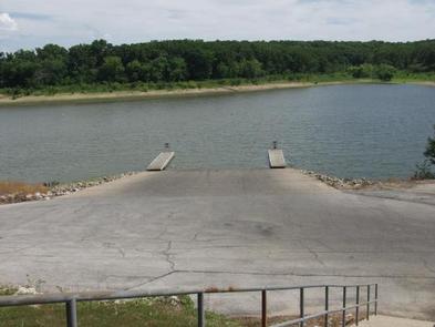
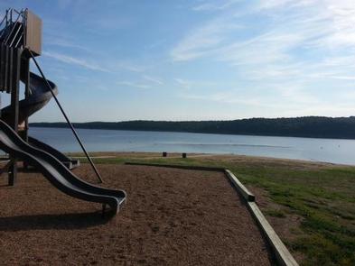
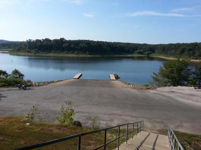
A boat ramp, playgrounds and sand beach offer additional recreation opportunities.
Natural Features
Truman Lake lies among rolling hills and rocky bluffs. Dense hardwood forests studded with mature pine trees cover the area.
Nearby Attractions
The 950 miles of shoreline around Truman Lake provide plentiful opportunities for fun in the outdoors. Many parks surround the lake, including Harry S. Truman State Park.
The Harry S. Truman Visitor Center sits atop Kaysinger Bluff and provides a spectacular view of the dam and reservoir. Exhibits provide information about the rich history of the Osage River Valley from pre-civilization to modern day. Waterfowl, bald eagles and turkey vultures are commonly seen from the observation deck.