
Directions
From I-35, take exit 90 to Ankeny Industrial Parkway. Continue onto Highway 160 west for 4.8 miles. The road turns into Highway 415. Continue for another 4 miles and follow signs into the campground.
Phone
515-964-8792
Activities
BIKING, BOATING, CAMPING, INTERPRETIVE PROGRAMS, FISHING, HIKING, HUNTING, WATER SPORTS, WILDLIFE VIEWING, SWIMMING SITE
Keywords
CHER,SAYLORVILLE LAKE,SAYLORVILLE LAKE
Related Link(s)
Overview
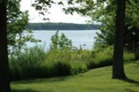
Cherry Glen Campground is located on the 26,000-acre Saylorville Lake Project, which stretches more than 50 miles up the Des Moines River Valley.
The lake provides a wide variety of recreational activities, including boating, swimming, fishing, hiking and hunting.
Recreation
Visitors enjoy Saylorville Lake for its excellent boating, sailing, water skiing, windsurfing and swimming opportunities. Anglers will find walleye, wiper, largemouth bass, catfish, crappie and northern pike.
The paved Neal Smith Trail winds 24 miles from Des Moines to Big Creek State Park and connects the campgrounds on the east side of the lake. It is designated as a National Recreation Trail and is used for biking, hiking, jogging, walking and in-line skating.
Facilities
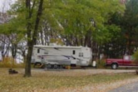
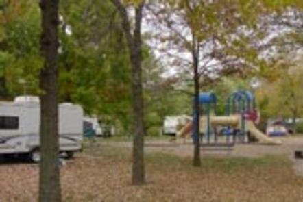
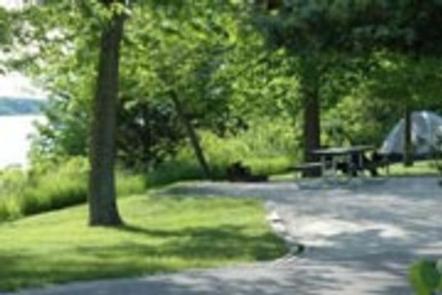
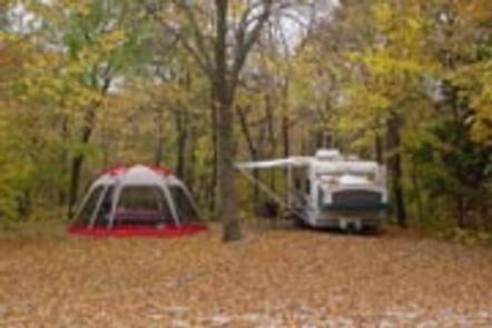
This large campground offers 125 family sites, all with electric hookups. Amenities include flush toilets, showers, drinking water and a dump station. Educational programs, group shelters, playgrounds, and a boat ramp all provide additional recreation opportunities for guests. Nearby amenities include a visitor center, hiking trail and a disc golf course.
Natural Features
Cherry Glen, the oldest and most popular campground on the lake, is nestled on a compact 13-acre wooded ridge. Wildlife is abundant throughout the project. White-tailed deer, turkeys, waterfowl and other small game animals roam the lands around the lake.