

Directions
From U.S. Hwy 81 in Yankton, South Dakota, drive four miles west on South Dakota Highway 52, then south on Dam Toe Road and follow signs.
Phone
402-667-2546. FOR RESERVATIONS, CALL 877-444-6777.
Activities
BIKING, BOATING, CAMPING, FISHING, HIKING, PICNICKING, WILDLIFE VIEWING, DAY USE AREA, PLAYGROUND PARK SPECIALIZED SPORT SITE, PHOTOGRAPHY, PADDLING, KAYAKING, CANOEING, BIRDING, WATER ACCESS, DISC GOLF
Keywords
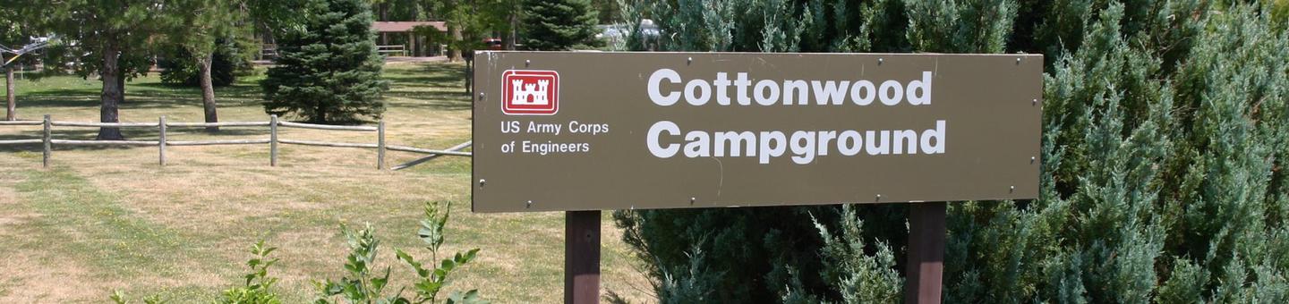
COTO,GAVINS POINT,LEWIS & CLARK,COTTONWOOD,LAKE YAKTON,S.D. CAMPGROUND,GAVINS POINT PROJECT
Related Link(s)
Nebraska State Road Conditions
Overview
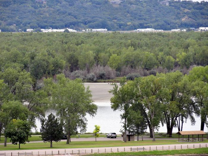
Cottonwood Recreation Area is located just downstream of Gavins Point Dam and Lewis & Clark Lake along the western shore of Lake Yankton. The numerous outdoor recreational opportunities attract more than 2 million visitors annually to the Lewis & Clark Lake area, making it one of the most popular recreation destinations in the Upper Great Plains. Lewis & Clark Lake is 31,400-acres in size with more than 90 miles of shoreline is impounded by Gavins Point Dam, which was authorized by the Flood Control Act of 1944, commonly called the Pick-Sloan Plan.
For more information about Lewis and Clark Lake, please visit the Gavins Point Project website .
Recreation
Cottonwood Recreation Area is conveniently located between Lewis and Clark Lake and Lake Yankton. Lewis and Clark Lake is known for great boating, sailing, swimming and other water-based recreation activities. Lake Yankton is popular with families as a popular fishing spot along with the excellent kayaking, canoeing and paddling opportunities. Numerous paved, multi-use trails connect the area with the additional numerous recreation areas located along Lewis and Clark Lake, Lake Yankton and the Missouri River. Lewis and Clark Lake attracts more than 2 million visitors each year to its shores. Recreation opportunities around the lake include camping, fishing, hunting, hiking, boating, sailing, swimming, bird-watching, and photography.
For the biking and hiking enthusiasts, three trails are available in the area. They include a paved trail that runs from Yankton to the Gavins Point area, a multi-use trail in the Gavins Point area and the Calumet Bluff hiking trail located near the visitor center. Wintertime activities include ice fishing, cross-country skiing, snowmobiling and sledding.
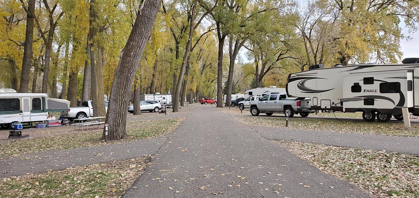
Developed public parks and recreation areas surround the lake above and below Gavins Point Dam. Camping facilities provided by the Corps and the States of South Dakota and Nebraska include marinas, boat ramps, trails, campsites with electricity, modern restrooms, playground equipment and trailer dump stations.
Facilities
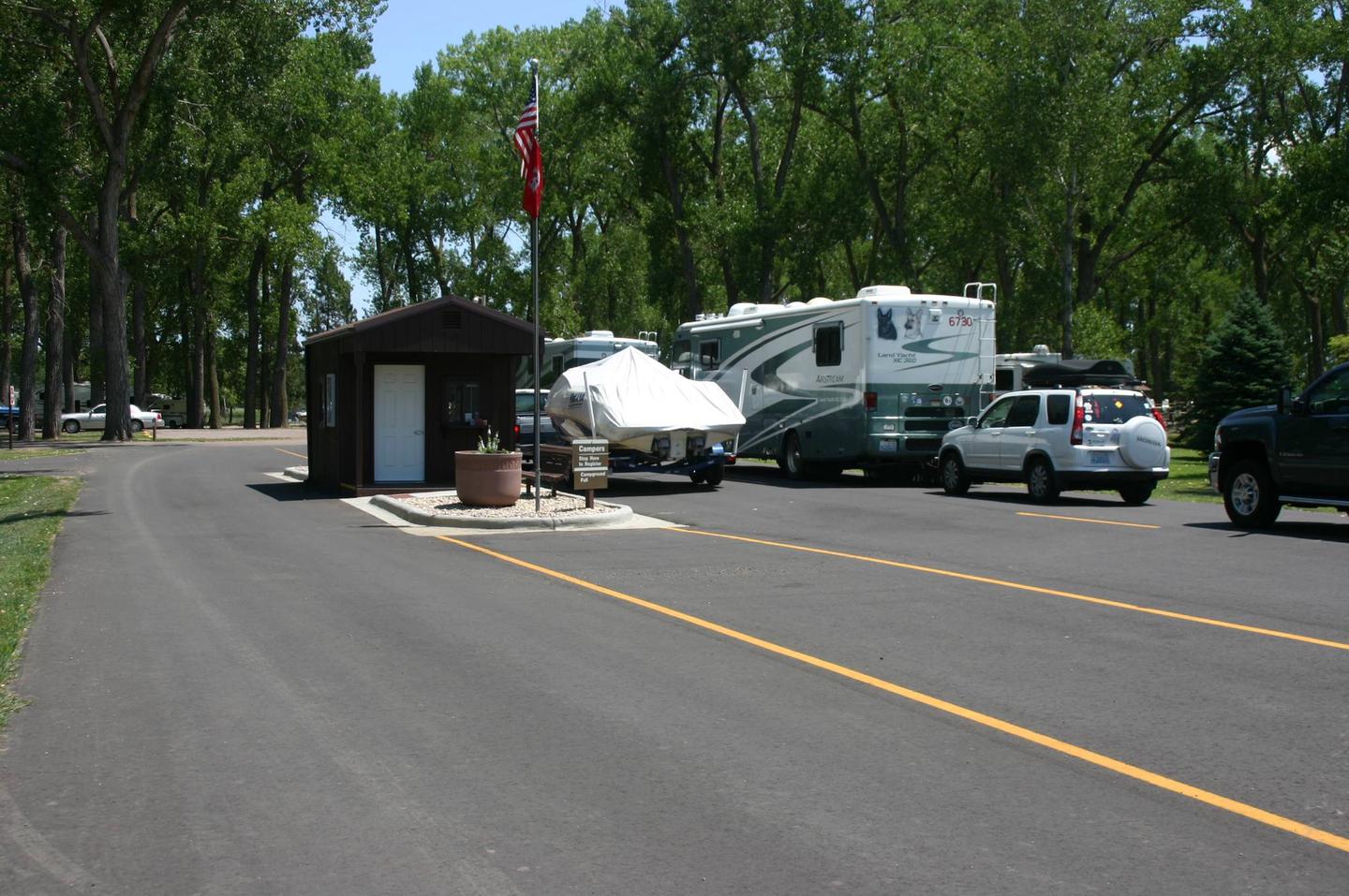
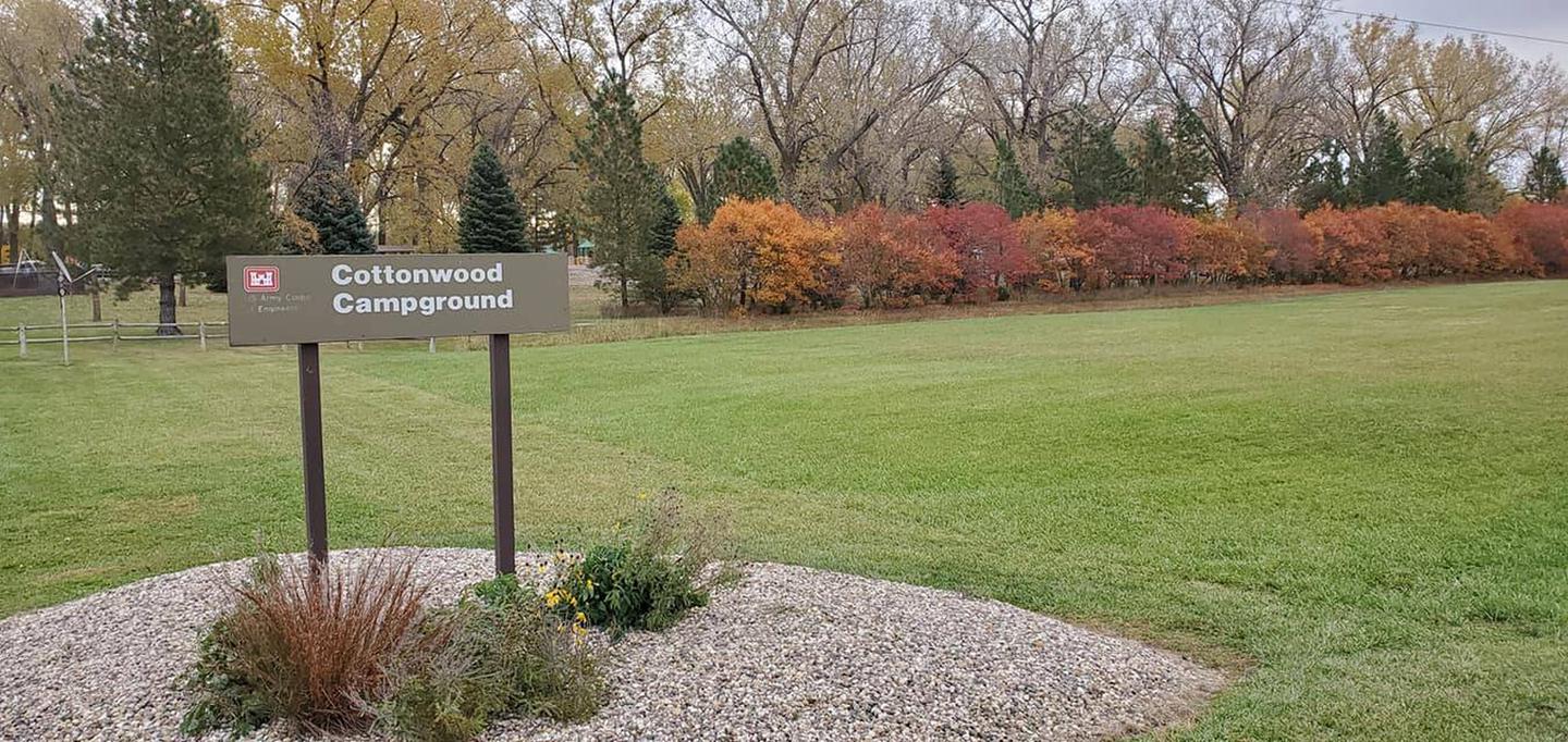
All 77 campsites have electric hookups, and all sites are reservable. Two modern shower houses with flush toilets are available for campers. A playground, horseshoe pits and picnic shelter are available within the campground and the adjacent Day-Use Area has a large reservable picnic shelter, picnic area, accessible fishing dock, disc golf course and a boat ramp for access to Lake Yankton. Nearby Training Dike Day-Use Area has a popular swimming beach on Lake Yankton along with access to the Missouri River downstream of Gavins Point Dam. A RV dump station is located just north of Cottonwood Campground off of Toe Road.
Natural Features
Cottonwood Recreation Area is located in the in the lush golden chalkstone-lined Missouri River Valley. Many visitors to the lake area prefer to stay at Cottonwood because of the calmer, quieter waters of Lake Yankton, a much smaller lake of approximately 250-acres in size – versus the much larger Lewis and Clark Lake upstream of the dam. Lake Yankton provides excellent habitat for a variety of waterfowl and other bird species. The area abounds with wildlife including Whitetail Deer, turkeys, and other game species. Bald Eagles and other birds of prey are spotted by visitors regularly due to the great fishing opportunities available year-round.
Nearby Attractions
- The Lewis and Clark Visitor Center: Contains exhibits on the Missouri River and area history including the Lewis and Clark Expedition with stunning views of Lewis and Clark Lake along with the Missouri River. Powerhouse Tours are available on weekends. Please contact the Lewis and Clark Visitor Center at (402) 667-2546 for more information.
- The Gavins Point National Fish Hatchery and Aquarium
- Visit nearby Yankton, South Dakota – the historic capitol of the Dakota Territory.
Charges & Cancellations
For rules and reservation policies, please click here .