
Directions
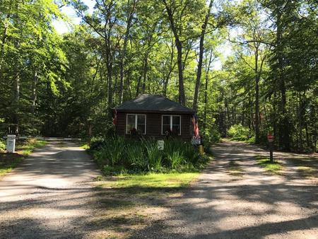
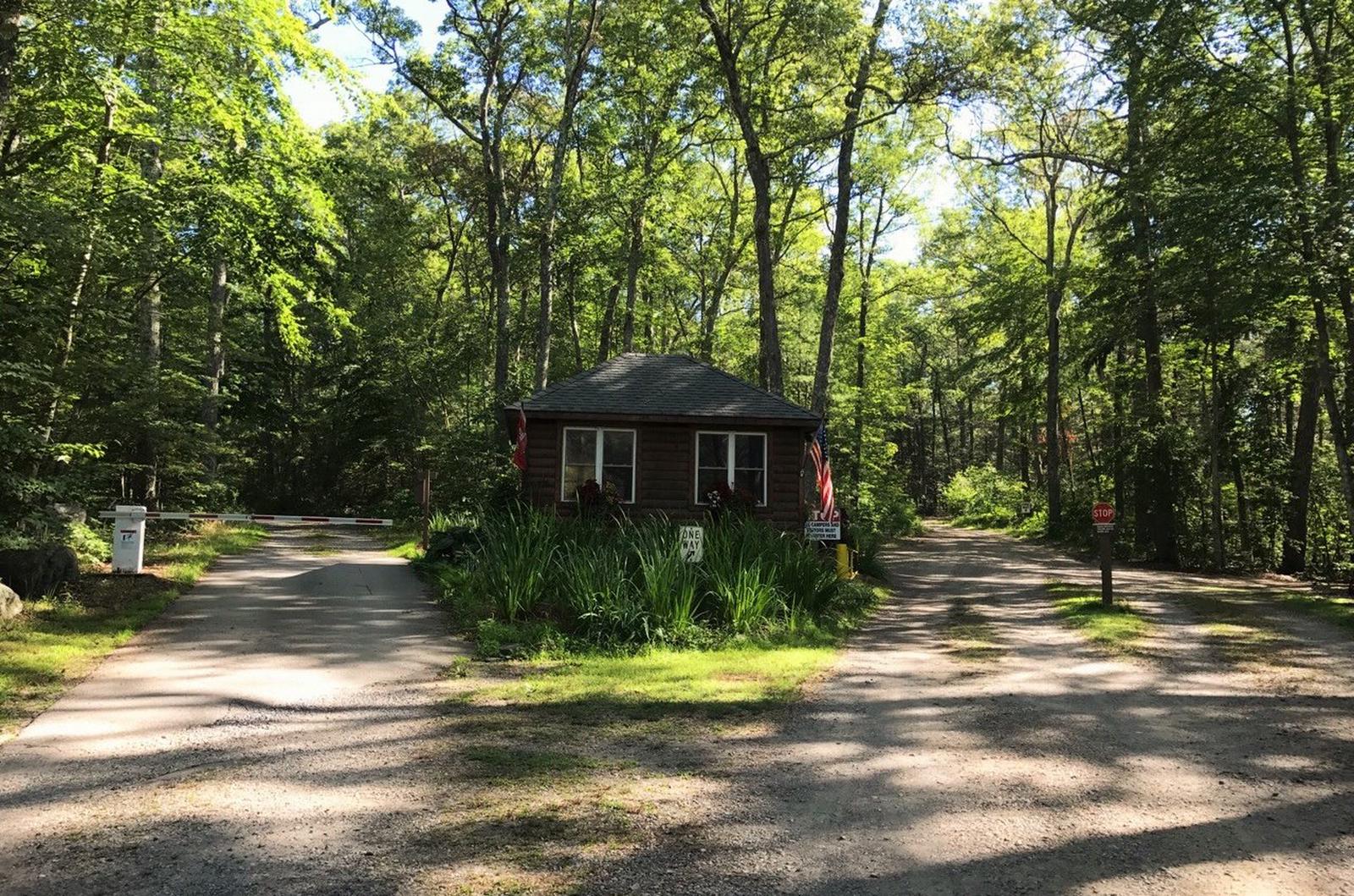
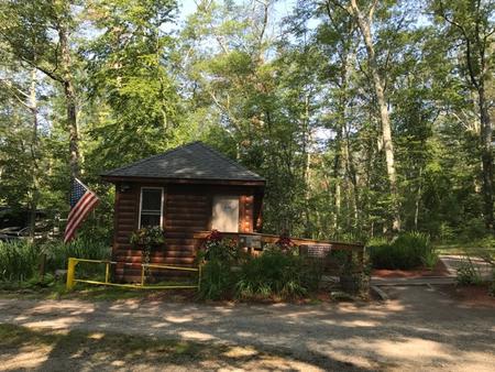
From I-395, take Exit 50. Follow CT Route 200 east to Thompson Center. Turn right onto CT Route 193 south and proceed 2 miles to traffic light. Continue straight over the railroad tracks on Route 12. Take the first right onto Reardon Road. In 0.5 miles turn left onto West Thompson Lake Recreation Road and travel approximately 1,000ft to the campground entrance on the right. Follow up to the Campground Registration Building.
Phone
860-923-3121
Activities
BOATING, CAMPING, FISHING, HIKING, DAY USE AREA, DISC GOLF
Keywords
DAML,WEST THOMPSON LAKE CAMPGROUND,WEST THOMPSON LAKE
Related Link(s)
Connecticut State Road Conditions
Overview
West Thompson Lake Campground is located near the wooded shoreline of its namesake lake in northeastern Connecticut. The natural setting surrounding West Thompson Lake can be enjoyed year round. Visitors come to the lake for camping, fishing, boating, kayaking and hiking.
Recreation
West Thompson Lake provides great boating, kayaking, canoeing and fishing opportunities. It has an excellent population of warm-water fish, including bass and small panfish. A boat ramp is located near the campground for easy access to the water. The Thompson Section of the Quinebaug River Water Trail offers a leisurely three-hour outing for paddlers who are comfortable with moving water. The trail has no rapids or portages and meanders through extensive wildlife habitats. An 18-hole disc golf course is located on the lakeshore and is free to the public. This challenging course is known for its long drives and scenic views of the lake and dam.
Facilities
The entrance gate to the campground is closed from 9pm – 8am.
The campground offers 11 campsites with electric and water hookups, 11 basic sites without hookups and two Adirondack lean-to shelters.
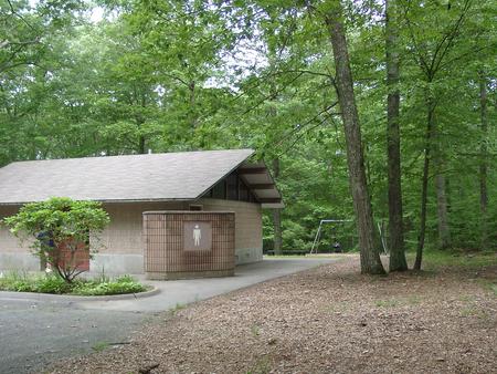
Amenities include accessible flush toilets and showers, and a dump station. An amphitheater, playground, basketball court, and interpretive trails are located on-site.
Natural Features
The campground is nestled in a forest of Eastern white pine, Northern red oak and Shagbark hickory. Shade is abundant throughout the campground, and autumn leaves put on a beautiful show.
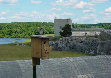
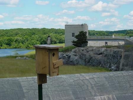
An overlook at the dam offers pleasing panoramic views for sightseers and photographers.