GRANT RIVER, WI Campground Reservation, Info, Images, Map, Directions

GRANT RIVER, Wisconsin Campground Images, Info & Reservations

Directions

From WI-133, Turn East on River Lane (two miles south of Potosi) and follow the directional signs approximately two miles to the campground. From US-61/WI-35, Turn S on River Lane and follow directional signs to campground.

Phone

RANGER OFFICE – 563-582-0881 / CAMPGROUND ENTRANCE STATION – 608-763-2140

Activities

CAMPING, FISHING, PICNICKING, DAY USE AREA, BIRDING, WATER ACCESS, EVENING PROGRAMS

Keywords

GRAR,MISSISSIPPI RV. RI

Related Link(s)

Rec Area Info & Images

Wisconsin State Tourism

Wisconsin State Road Conditions

Overview

Spread along the banks of the Upper Mississippi River, the Grant River Campground, located in the “Catfish Capital of Wisconsin,” is a modern campground that offers a plethora of outdoor and recreational activities.

Recreation

The famous fishing on the Mississippi River draws crowds of anglers each year. The most popular species is the channel catfish, earning the city of Potosi the nickname “Catfish Capital of Wisconsin.” Other species include bluegill, walleye, crappie, northern pike and bass.

Aside from fishing, boating and water sports are the most popular activities, and a boat ramp is available at the campsite for visitors.

Facilities

Picnic shelter and a playgrounds create an ideal environment for a small party or family get-together. Both tent and RV sites are available, and amenities like showers, drinking water and flush toilets offer a comfortable camping experience.

Natural Features

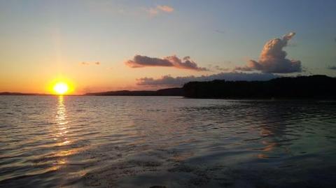
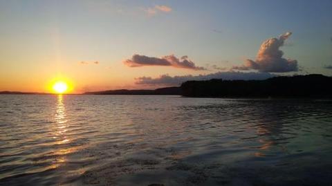
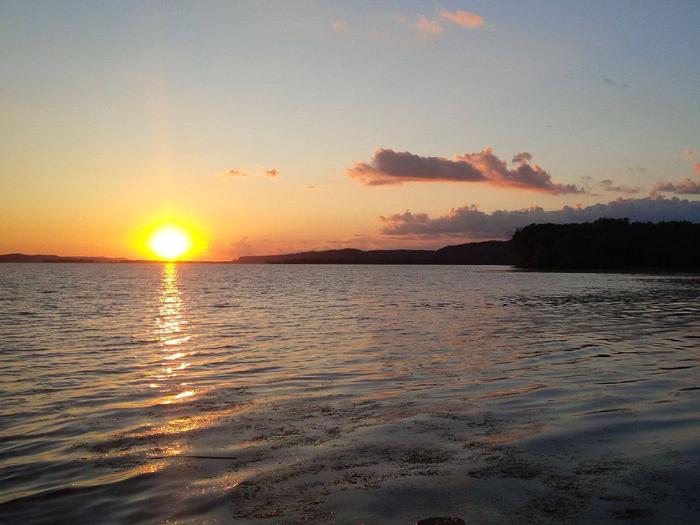
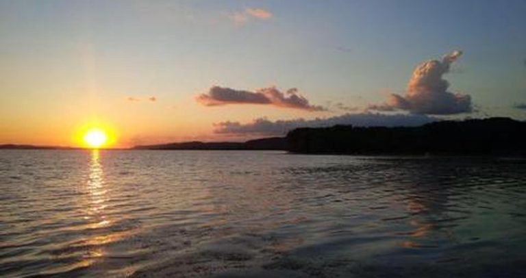
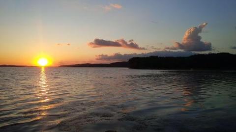
Surrounding the large campsite is a lush river landscape with towering bluffs and beautiful sunsets, creating a nature experience for visitors without losing the comforts of modern camping.

Nearby Attractions

Potosi Brewing Company Restauraunt & Museum (Potosi, WI – 2 miles)

Lock and Dam 11 (Dubuque, IA – 19 miles)

National Mississippi River Museum & Aquarium (Dubuque, IA – 20 miles)

Diamond Jo Casino & The Q Casino (Dubuque, IA – 20 miles)

Historic sites, Antiques, Fine Dining (Galena, IL – 28 miles)

Reservation

More from CampingHiking.net:

CURTIS CREEK, Kansas Campground Images, Info & Reservations

Directions Take I-70 to the 290 exit and proceed north 5 miles to 837. Continue west on 837 for 6 miles to reach the park entrance. Phone 785-238-5714 Activities CAMPING Keywords CURC,MILFORD LAKE,MILFORD LAKE Related Link(s) Rec Area Info & Images Kansas State Tourism Kansas State Road Conditions Overview Curtis

JORDAN LAKE CABIN, Alaska Campground Images, Info & Reservations

Directions The cabin is approximately 15 miles from Ketchikan within the Naha Recreation Area. It is on the southwest shore of Jordan Lake along the Naha River National Recreation Trail. Access is either by boating to Naha Bay and hiking 4 miles, or by floatplane to the trail at Heckman

BALD MOUNTAIN LOOKOUT, Idaho Campground Images, Info & Reservations

Directions From Coeur d’Alene, Idaho, drive 70 miles south on U.S. Highway 95 to State Highway 6. Turn left on State Highway 6, White Pine Scenic Byway, travel through Potlatch and continue on for 22 miles. Turn right on Forest Road 377, Palouse Divide Road. This is a single lane,

BEND GUARD STATION, Montana Campground Images, Info & Reservations

Directions This rental is located approximately 32 miles up the Thompson River Road (County Road 56 on maps, County Road 556 on the ground) from its junction with Montana Highway 200, five miles east of Thompson Falls, Montana. It may also be accessed from U.S. Highway 2 by turning south

MCCAIN CABIN, Wyoming Campground Images, Info & Reservations

Directions From Afton, Wyoming, take Highway 89 north about 31 miles to Alpine. At Alpine, turn right (south) onto Greys River Road (Forest Road 10138) and travel about 8 miles to the junction with Little Greys River Road (Forest Road 10124). Turn left (northeast) onto Little Greys River Road and