LOST RAPIDS, OK Campground Reservation, Info, Images, Map, Directions

LOST RAPIDS, Oklahoma Campground Images, Info & Reservations

Directions

From Broken Bow, OK, take Highway 3 west 22 miles to the park entrance. Turn south at the sign and follow the access road.

Phone

580-876-3720

Activities

BOATING, CAMPING, FISHING, PICNICKING, CANOEING

Keywords

LOSR,PINE CREEK LAKE,PINE CREEK LAKE

Related Link(s)

Rec Area Info & Images

Oklahoma State Tourism

Oklahoma State Road Conditions

Overview

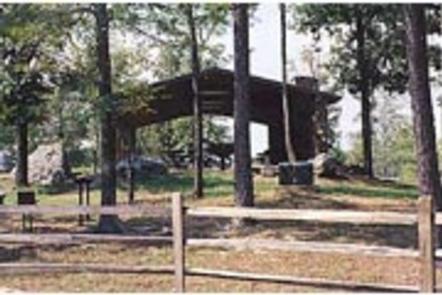
Lost Rapids Campground is located on the eastern shores of Pine Creek Lake. This pleasant campground is popular with campers who enjoy birding, fishing and wildlife photography.

Recreation

Visitors enjoy fishing, boating and picnicking. Common fish include crappie, white bass, largemouth bass, channel catfish, flathead catfish and various types of sunfish.

Facilities

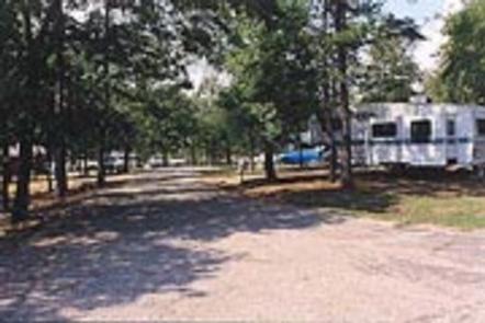
Lost Rapids offers several campsites, half of which have electric hookups. A group campsite that also has 4 electric hookups. Other amenities include flush toilets, drinking water and a boat ramp.

Natural Features

Pine Creek Lake, fed by the Little River, boasts 3,750 acres with 74 miles of shoreline. The lake is in southeastern Oklahoma at the edge of the Ouachita Mountains.

Nearby Attractions

Beavers Bend and Raymond Gary State Parks are within driving distance. Also, the historic ruins of Fort Towson, a confederate command post that was built in 1824, are interesting as well.

Reservation

More from CampingHiking.net:

THUMB BUTTE, Arizona Campground Images, Info & Reservations

Directions From Phoenix, Arizona: Traveling Northbound on I-17 take Exit 262 onto Hwy 69 North to Prescott and cointnue on Hwy 69 for 41 miles. Once you have arrived in Prescott, continue to go west on Hwy 69 which turns into Gurley St., which then becomes the Thumb Butte Road,

TAHKENITCH CAMPGROUND, Oregon Campground Images, Info & Reservations

Directions From Reedsport, drive north 7.5 miles on Highway 101. Campground is on the west (left) side of Highway 101. Phone 541-271-6000 Activities BOATING, CAMPING, FISHING, WILDLIFE VIEWING, SWIMMING SITE, BIRDING Keywords TAHK,OREGON DUNES,SIUSLAW NF – FS Related Link(s) Rec Area Info & Images Oregon State Road Conditions Oregon State

WEST LAKE, Colorado Campground Images, Info & Reservations

Directions From Fort Collins, take Highway 287 north approximately 24 miles to Livermore. Turn west on County Road 74 and continue 24 miles to the campground. Phone 970-295-6700 Activities BIKING, BOATING, CAMPING, FISHING, HIKING, WILDLIFE VIEWING, CANOEING Keywords WLCO,REDFEATHER LAKES,ARAPAHO AND ROOSEVELT NF – FS Related Link(s) Rec Area Info

CAYUSE HORSE CAMP, Washington Campground Images, Info & Reservations

Directions From Cle Elum, Washington, take State Hwy 903 north approximately 19 miles to the end of the paved road. The campground entrance is to the right before the Old Guard Station. Phone 509-852-1100 Activities CAMPING, HIKING, HORSEBACK RIDING, PHOTOGRAPHY, HORSE CAMPING, BERRY PICKING, BIRDING Keywords CAYH,OKANOGAN – WENATCHEE NF

PERCEPTION PARK, Utah Campground Images, Info & Reservations

Directions Perception Park is located approximately 7.5 miles east of Huntsville, Utah, on Highway 39. From I-15, take the 12th Street exit and continue through Ogden Canyon. Continue on Highway 39 toward Monte Cristo. Turn left after entering the campground. Phone OGDEN RANGER DISTRICT 801-625-5112 OR UTAH RECREATION COMPANY 385-273-1100