PINE CREEK COVE, OK Campground Reservation, Info, Images, Map, Directions

PINE CREEK COVE, Oklahoma Campground Images, Info & Reservations

Directions

From Valliant, OK, travel Pine Creek Road 7 miles north to the access road. Follow signs into the campground.

Phone

580-933-4215

Activities

BOATING, CAMPING, FISHING, PICNICKING, DAY USE AREA, SWIMMING SITE, SWIMMING, WATER ACCESS

Keywords

PICR,PINE CREEK LAKE,PINE CREEK LAKE

Related Link(s)

Rec Area Info & Images

Oklahoma State Road Conditions

Oklahoma State Tourism

Overview

Pine Creek Cove is located on the western shore of Pine Creek Lake near the main dam. Visitors enjoy boating, fishing, swimming and birding.

Recreation

The beach attracts swimmers, sunbathers and sandcastle builders. Boating and picnicking are also popular. The park’s location near the dam is convenient for reaching prime fishing spots.

Facilities

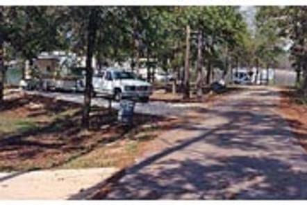
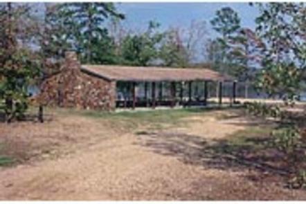
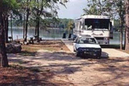
Pine Creek Cove’s 41 campsites have electric and water hookups. A group camping shelter with electric hookups is also available. Additional amenities include flush toilets, showers, a dump station and boat ramp.

Natural Features

Pine Creek Lake, fed by the Little River, boasts 3,750 acres with 74 miles of shoreline. The lake is in southeastern Oklahoma at the edge of the Ouachita Mountains.

Nearby Attractions

Beavers Bend and Raymond Gary State Parks are within driving distance. Also, the historic ruins of Fort Towson, a confederate command post that was built in 1824, are interesting as well.

Reservation

More from CampingHiking.net:

HECKMAN LAKE CABIN, Alaska Campground Images, Info & Reservations

Directions The cabin is located approximately 15 miles from Ketchikan within the Naha Recreation Area. It is located near the outlet of Heckman Lake at the terminus of the Naha Recreation Trail. It is 6 miles up the trail from Naha Bay. Access is by hiking the trail from Naha

SANDPIPER RECREATION AREA, Iowa Campground Images, Info & Reservations

Directions Physical Address: 7101 NW Polk City Drive Polk City, IA 50226 From I-35, take Exit 92 and go east on First Street approximately 5 miles to HWY 415. Turn right (north) and travel approximately 3 miles to recreation area on the right. Phone 515-276-4656 Activities BIKING, CAMPING, FISHING, HIKING,

MODOC, South Carolina Campground Images, Info & Reservations

Directions From I-20, take Exit 200 (River Watch Parkway). Turn right, drive 2 miles to Furys Ferry Road (HWY 28 West). Turn right, drive 13 miles to Clarks Hill, SC. Continue northwest on HWY 221 for approximately 4 miles to campground entrance. Phone 864-333-2272 Activities BOATING, CAMPING, FISHING, SWIMMING, KAYAKING