Directions
From the North: Take HWY 140 to HWY 141. Travel south on HWY 141, then 1/2 mile west on Venango Road; look for signs to the park. From the South: Take HWY 4 to HWY 141. Travel north on HWY 141, then 1/2 mile west on Veanago Road; look for stigns to the park.
Phone
785-546-2294
Activities
CAMPING, FISHING, HIKING, PICNICKING, DAY USE AREA, SWIMMING SITE, OFF ROAD VEHICLE TRAILS, WATER ACCESS
Keywords
VENA,KANOPOLIS LAKE,KANOPOLIS LAKE
Related Link(s)
Overview
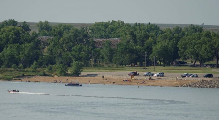
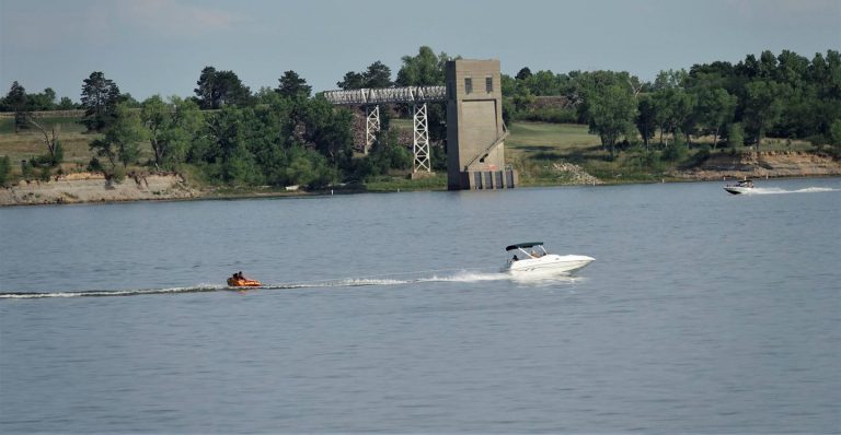
Venango Park Campground is located on the eastern shores of Kanopolis Lake in central Kansas, 30 miles southwest of Salina. Kanopolis Lake is on the Smoky Hill River, and is one of the state’s oldest lakes. Many outdoor activities are available, including camping, boating, fishing, hunting and ATV riding.
Recreation
Kanopolis Lake offers great boating and fishing opportunities with plenty of bluegill, Channel Catfish, White Crappie, Flathead Catfish, Largemouth Bass, Saugeye, Walleye, Wiper and trout. The Venango Park ATV Trail crisscrosses roughly 5 acres of land within the park, making this a popular destination for ATV and motorcycle enthusiasts. Nearby Kanopolis State Park offers 25 miles of trail, tailored to hikers, mountain bikers and horseback riders, all of which start within the park. The Buffalo Tracks Canyon Nature Trail is listed on the National Historic Registry and follows Bison Creek, offering hikers a view of native plants, wildlife, Native American history and canyons of geologic interest.
Facilities
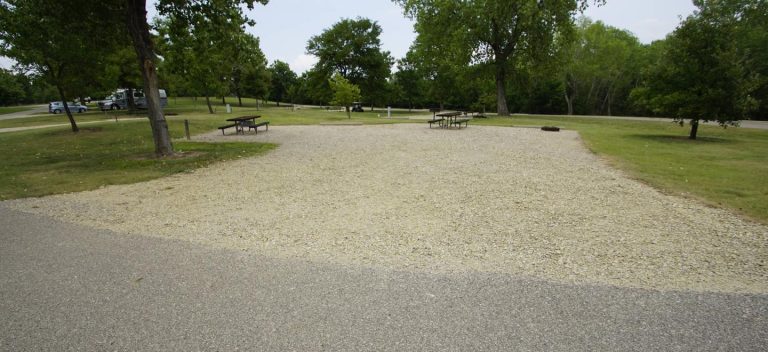
Venango Park offers a total of 132 faciltites. There are 126 campsites, 5 day use shelters, and 1 group camp. The 126 campsites are a mixture of electric with water, electric only, primitive, and double sites. Other amenities include flush toilets, drinking water, showers, a dump station, boat ramp, beach, playground and nature trail.
Natural Features
The campground is situated on the shady tree-dotted shoreline. Sandstone bluffs, rolling hills, and vast, open prairie lands surround the lake. Wildlife is varied and abundant in the area: Whitetail deer, pheasants, quail, turkeys, Texas horned lizards, beavers and even Bald eagles are commonly seen. Wildflowers including purple poppy mallow, blue false indigo, yucca and prairie wild rose, put on a colorful display in prairies surrounding the lake.
Nearby Attractions
The Fort Harker Museum in Kanopolis and the Rogers Art Gallery and Museum in Ellsworth both portray the settlement of the American West. The Kanopolis Drive-In theather is just a short drive away, and is open most weekened evenings
Charges & Cancellations
Reservation cancellation fees and No-Show fees may apply.


