HORSE CREEK, CA Campground Reservation, Info, Images, Map, Directions

HORSE CREEK, California Campground Images, Info & Reservations

Directions

From Visalia, CA, take HWY 198 for 20 miles east. Follow signs to Horse Creek Campground.

Phone

559-597-2301

Activities

BIKING, BOATING, CAMPING, FISHING, HIKING, HORSEBACK RIDING, VISITOR CENTER, DAY USE AREA, INFORMATION SITE, PHOTOGRAPHY, SWIMMING, BIRDING

Keywords

HCRE,LAKE KAWEAH CAMPGROUND,KAWEAH LAKE CAMPGROUND,KAWEAH CAMPGROUND,HORSE CREEK Lake Kaweah,LAKE KAWEAH

Related Link(s)

Rec Area Info & Images

California State Road Conditions

California State Tourism

Overview

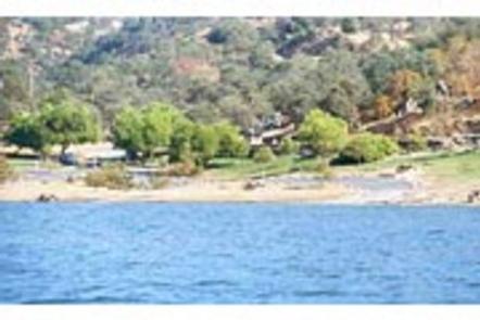
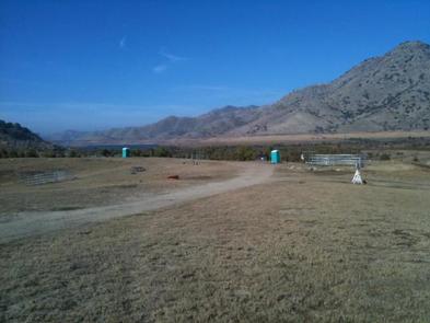
Horse Creek Campground is located on the Kaweah River in the foothills of central California’s Sierra Nevada Mountains. The Terminus Dam on Kaweah Lake is three miles east of Lemon Cove, CA.

Recreation

Kaweah Lake offers boating, water skiing and sailing. Horse and walking trails are available during low water. Anglers can fish for largemouth bass, crappie, bluegill, catfish and rainbow trout.

Facilities

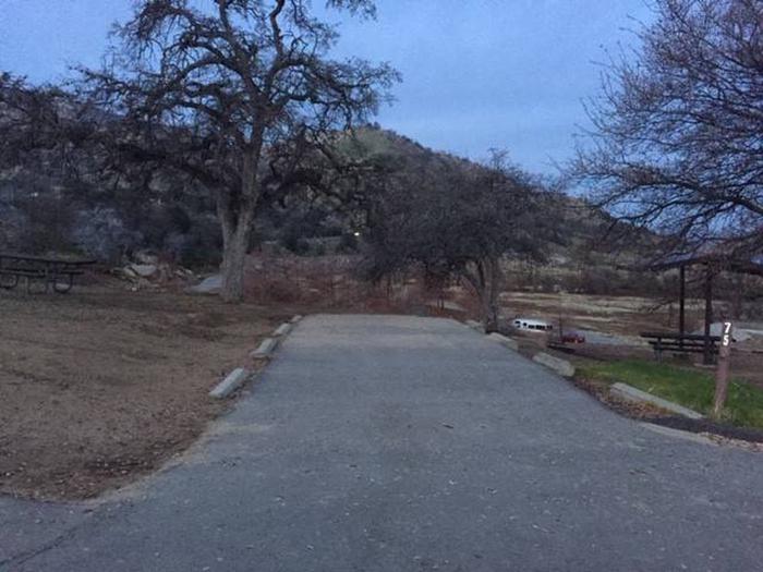
The campground contains 80 sites without hookups. Amenities include flush toilets, showers and a dump station. Weekend programs are held May through September in the campground’s amphitheater.

Natural Features

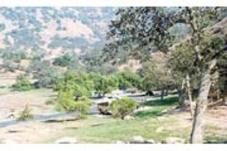
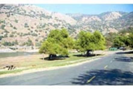
The campground is settled on the river in a broad, arid valley with few trees. Shade is limited.

Nearby Attractions

The campground is 10 miles from Sequoia National Park. Visitors enjoy viewing the inspiring Giant Forest Grove and mighty General Sherman Tree – the world’s largest tree in volume.

Reservation

More from CampingHiking.net:

MOUNT FLEMER CABIN, Alaska Campground Images, Info & Reservations

Directions The cabin is located on the south shore of the Stikine River within the Stikine-LeConte Wilderness. It is two miles downriver from the border between the United States and Canada. Distance from Wrangell is 32 miles by shallow draft boat. Low river levels can affect access; consult local tide

LITTLE MAUD CAMPGROUND, Colorado Campground Images, Info & Reservations

Directions Take I-70 west of Denver to Glenwood Springs Exit 116, Highway 82 to Basalt. At Basalt, take Frying Pan Road 15 miles to the Ruedi Complex Entrance. Phone (970) 927-0107 Activities BIKING, CAMPING, INTERPRETIVE PROGRAMS, FISHING, HIKING, WATER SPORTS, WILDLIFE VIEWING Keywords LITTLE MAUD CAMPGROUND,LITTLE MAUD,MAUD Related Link(s) Rec

GRIZZLY, California Campground Images, Info & Reservations

Directions From Reno, travel north on Highway 395 to Highway 70 and turn west to Portola. From Portola, take County Road 126 north for 7 miles, then County Road 112 to the east side of Lake Davis. Continue approximately 1 mile to the campground, which is on the left. Phone

BUCKSAW, Missouri Campground Images, Info & Reservations

Directions From Highway 7, take Highway U south for 3 miles. Turn left at SE 803. Stay on the paved road and follow signs into the campground. Phone 660-477-3402 Activities BOATING, CAMPING, FISHING, SWIMMING SITE Keywords BUCS,TRUMAN LAKE,HARRY S TRUMAN Related Link(s) Rec Area Info & Images Missouri State Road

SHADY COVE GROUP CAMPGROUND, California Campground Images, Info & Reservations

Directions From Running Springs, drive approximately one mile on Highway 18 to the Deerlick Ranger Station/Children’s National Forest Visitor Center. Turn right on Keller Peak Road and continue about five miles. Follow signs to the campground. Phone 909-866-8550 Activities BIKING, CAMPING, INTERPRETIVE PROGRAMS, FISHING, HIKING, WILDLIFE VIEWING Keywords SHAC,Shady Cove,Children’s