

Directions
From I-57, take Old U.S. Highway 50 west for 19 miles, through Salem, Odin and Sandoval. Turn north on Boulder Road/2400E. After 4 miles turn east on 1700N and continue until the road connects with 2400E. Continue south and turn right just before reaching the Coles Creek entrance road. Proceed north to Lotus Group Area.
Phone
618-226-3211
Activities
BOATING, CAMPING, INTERPRETIVE PROGRAMS, HUNTING, WILDLIFE VIEWING, DAY USE AREA
Keywords
LOTU,COLES CREEK LOTUS,CARLYLE LAKE
Related Link(s)
Illinois State Road Conditions
Overview
The Lotus Group Area is on the eastern shore of Carlyle Lake, a prime getaway for city-dwellers and families. Located 50 miles east of St. Louis, the area offers the peaceful retreat of a small town combined with the grandeur of Illinois’ largest man-made lake.
Recreation
The campground provides fun both on the water and on shore. Boat ramps and courtesy docks are provided, and the vast lake allows for plenty of water sports.
Fishing is a popular pastime, and white bass, bluegill, crappie, channel catfish, largemouth bass, freshwater drum, carp, flathead catfish and walleye can be found in abundance.
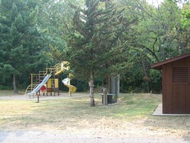
There is an on-site playground and plenty of open space for children to play in, as well as an amphitheater for educational programs. A multi-use biking and walking trail is located a short drive away at the dam.
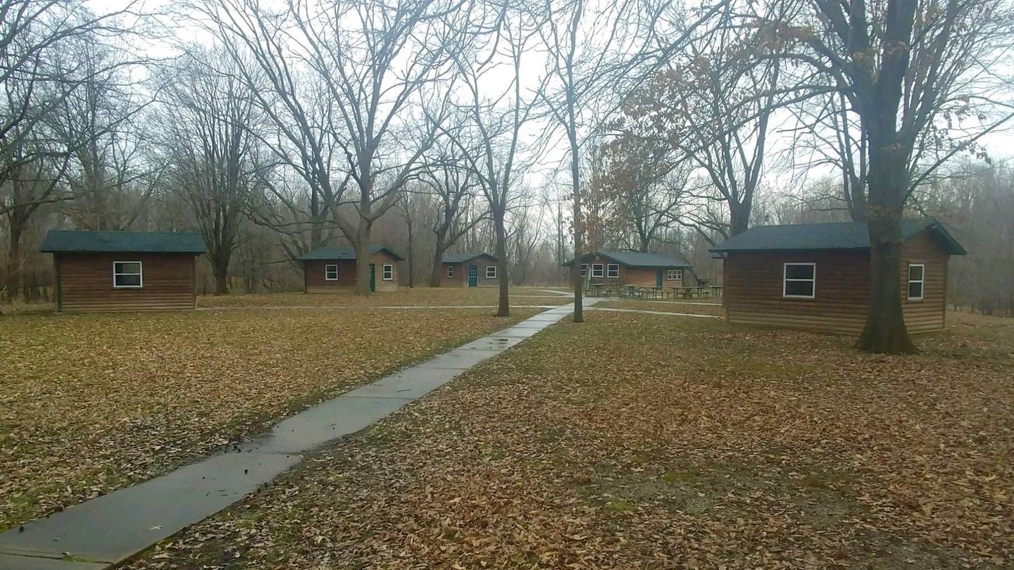
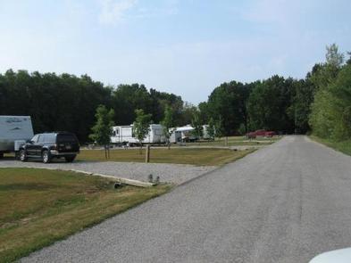
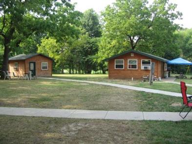
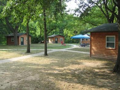
Facilities
Lotus Group area offers a secluded group campground in Coles Creek Recreation Area. The facility consists of five enclosed mini shelters with electricity, five campsites with electricity and one large enclosed shelter with tables, water and electricity. A playground, a restroom with vault toilets and a large fire ring are also provided. The site can hold a single group of up to 80 people at a time. The Coles Creek Beach and Day Use Area are a short walk away.
Natural Features
Created in 1967, the 26,000-acre lake is recognized as one of the nation’s top ten inland sailing lakes and hosts several annual races and regattas.
Carlyle Lake is home to an array of wildlife that can be seen throughout the year. Its waters and shores are a resting spot for migratory waterfowl and other birds. There are six established Watchable Wildlife Sites with viewing towers open to the public around the lake.
Nearby Attractions
Carlyle Lake Visitor Center, located in the Dam West Recreation Area, has information, a gift shop and nature exhibits, including a 215-gallon aquarium with native fish and a display featuring a live massasauga rattlesnake.