
Directions
From Ely, Minnesota, travel east on State Highway 169 North (toward Winton) for about 1 mile. Turn left onto County Road 88 and travel about 2 miles. Turn right onto Echo Trail and continue about 7 miles to the campground entrance on the right.
Phone
KAWISHIWI RANGER DISTRICT: 218-365-7600, CONCESSIONAIRE (SUMMER): 218-365-2963
Activities
BIKING, BOATING, CAMPING, FISHING, HIKING, HUNTING, WILDLIFE VIEWING, SWIMMING SITE
Keywords
FENS,FENSKE LAKE FOREST SERVICE CAM,FENSKE LAKE NATIONAL FOREST CA,FENSKE LAKE NATIONAL FOREST SE,FENSKE LAKE SUPERIOR NATIONAL,FENSKE LAKE FISHING PIER,FENSKE FOREST SERVICE CAMPGROU,FENSKE NATIONAL FOREST SERVICE,FENSKE SUPERIOR NATIONAL FORES,FENSKE FI
Related Link(s)
Minnesota State Road Conditions
Overview
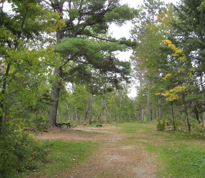
Fenske Lake Campground offers visitors an escape to a small, remote campground with large, majestic pine trees and easy access to water. It is a popular base camp for exploring, fishing, hiking, sightseeing and backcountry canoeing in Superior National Forest and the nearby Boundary Waters Canoe Area Wilderness. The campground lies approximately 10 miles outside of Ely, Minnesota.
Recreation
Because of its proximity to access points into the Boundary Waters Canoe Area Wilderness and its status as a Superior National Forest canoe circle route, Fenske Lake is very popular for canoeing and kayaking.
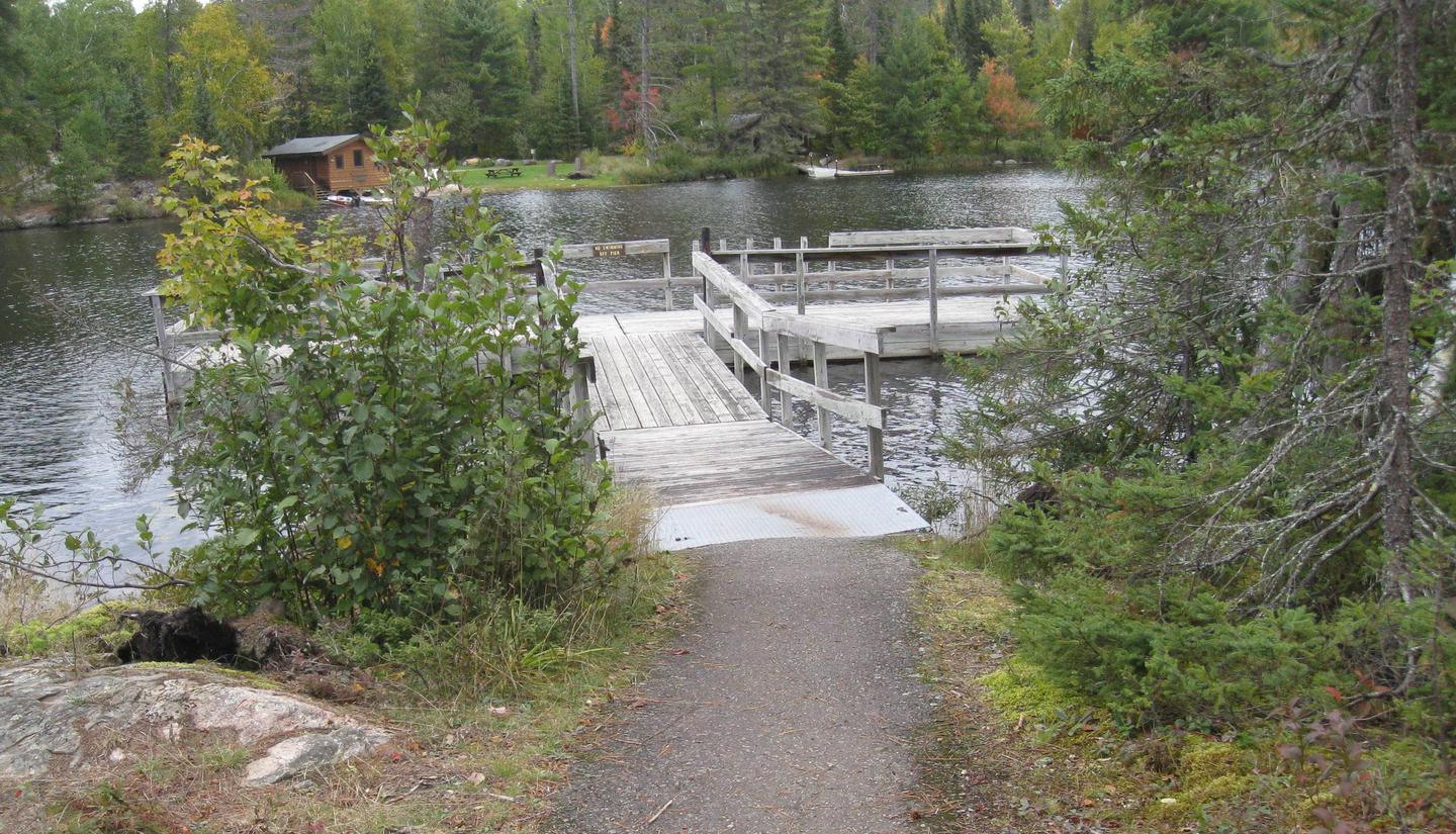
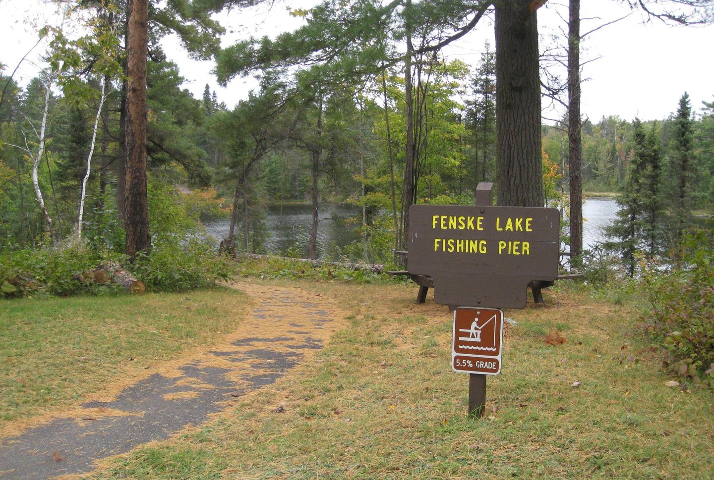
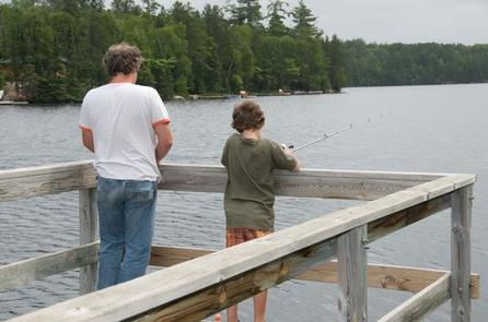
Families and children enjoy exploring the short, 1-mile nature trail in the campground, as well as swimming at the grassy beach or waiting for a catch on the accessible fishing pier. Anglers can make use of the boat ramp and try their luck for bass, northern pike, crappie and sunfish.
View recreation guides and maps of hiking trails and canoe routes in the national forest.
Facilities
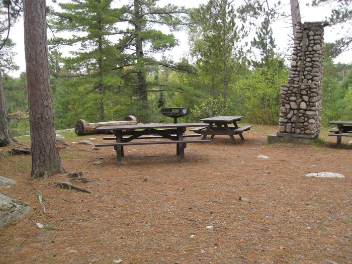
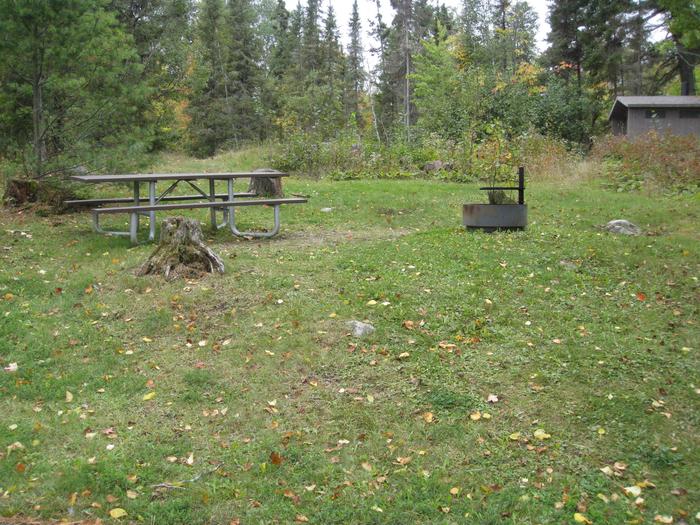
The campground is tent-friendly; most sites do not accommodate large RVs. Sites are spaced widely apart along a large loop. All sites have partial to full shade, and some overlook the lake.
A group campsite for 10 to 25 people is situated on a separate parking spur away from the main campground. The site is perched high on a rock ledge overlooking the lake, offering a spectacular view.
Families and groups of friends will enjoy the facility’s small picnic area. An open log shelter is available for use during inclement weather.
Natural Features
The facility overlooks 130-acre Fenske Lake, a small and scenic body of water surrounded by dense hardwood and pine forests in the northwoods of Minnesota. Birds and wildlife are abundant in the area.
Superior National Forest, located in northeastern Minnesota’s Arrowhead Region, is comprised of 3-million acres. The forest spans 150 miles along the United States-Canada border.
Nearby Attractions
Numerous outdoor recreation opportunities lie within Superior National Forest’s 77 lake accesses, 13 fishing piers, 10 swimming beaches and 22 picnic areas. The forest is also home to three scenic byways.
Campers can also explore the nearby Boundary Waters Canoe Area Wilderness. Over 1-million acres in size, the Boundary Waters extends nearly 150 miles along the United States-Canada border and contains over 1,200 miles of canoe routes, 12 hiking trails and over 2,000 designated campsites.