OSPREY, ID Campground Reservation, Info, Images, Map, Directions

OSPREY, Idaho Campground Images, Info & Reservations

Directions

From I-90, turn at Post Falls Highway 41 north to Newport. Take Highway 2 east to Priest River at the junction of Highway 57 and Highway 2. Turn left at the Texaco station on Highway 57 and drive 25 miles to Outlet Bay Road. Turn right for approximately 0.5 miles and left on Lakeshore Road. There is a directional sign pointing the way to Osprey Campground.

Phone

435-245-6521

Activities

BIKING, BOATING, CAMPING, FISHING, HIKING, WATER SPORTS, CANOEING, SCUBA DIVING

Keywords

OSPR,IDAHO PANHANDLE NF – FS

Related Link(s)

Rec Area Info & Images

Forest Service Concessionaire

Idaho State Tourism

Idaho State Road Conditions

Overview

Campers come to Osprey for sunshine and boating at Priest Lake, and for breathtaking views of the rugged Selkirk Mountains. Fishing is also a big draw, with trout just waiting to be caught.

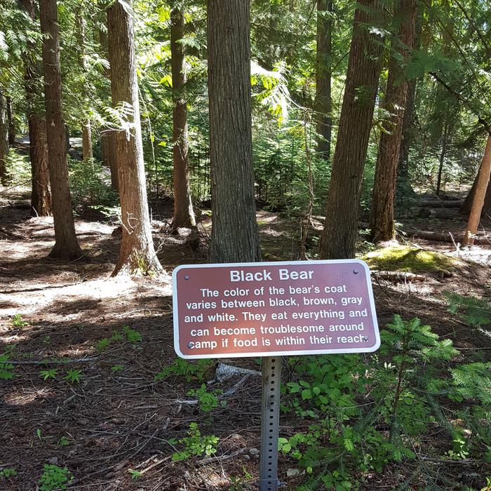
While here, watch for moose, grizzly and black bears, wolves, mountain lions and deer. Osprey, as inferred by the campground name, also inhabit the area.

Recreation

Boating, canoeing, kayaking and wake boarding are summertime favorites. Boaters like to head north on the lake and traverse a narrow thoroughfare to reach Upper Priest Lake Scenic Area.

Anglers often catch Dolly Varden and cutthroat trout and kokanee salmon.

Facilities

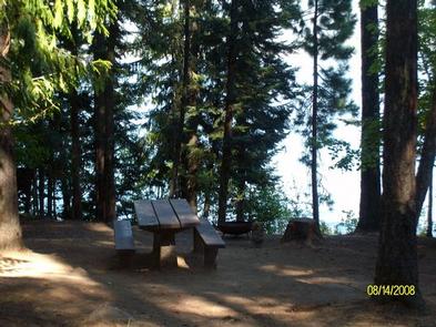
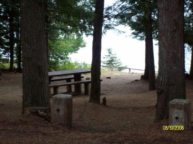
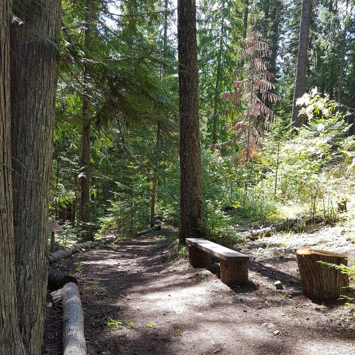
Campground roads and parking spurs are paved and facilities are accessible. Amenities include flush toilets, fire rings and picnic tables that are naturally shaded by towering trees.

Natural Features

Osprey Campground is perched on the lower western shore of Priest Lake near Outlet Bay. The beautiful 25,000-acre lake is fed by springs trickling down from the Selkirks. The clear, blue lake reaches 300 feet in depth.

Nearby Attractions

Hike the Chipmunk Rapids Trail that traverses along the Kaniksu Marsh, Priest River and Chipmunk Rapids.

In winter, ice fishing, snowshoeing and snowmobiling are popular activities in the surrounding area.

Reservation

More from CampingHiking.net:

SUMMERDALE CAMPGROUND, California Campground Images, Info & Reservations

Directions Take Highway 41 north from Fresno, just past the town of Fish Camp. The campground is on the left side of the highway, 1.5 miles before the entrance to Yosemite National Park. Phone 559-642-3212 Activities CAMPING, FISHING, HIKING Keywords SUMD,SUMMER WIND,FISH CAMP,SIERRA NF – FS Related Link(s) Rec Area

WAVELAND PARK, Arkansas Campground Images, Info & Reservations

Directions From Booneville, Arkansas, follow State Highway 10 east for 17 miles to Waveland. Turn right on State Highway 309 and drive for one mile. Turn right again onto Waveland Park Road and continue another mile to Blue Mountain Dam, then follow signs into the park. Phone 479-947-2101 Activities BOATING,

Linville Falls Campground, North Carolina Campground Images, Info & Reservations

Directions From I-40 East, take Highway 221 north to the Blue Ridge Parkway at Linville Falls. Go north for one mile to Linville Falls Spur Road, located at Milepost 317, and continue a half mile to the campground. Phone 828-765-7818 (MAY-OCTOBER) Activities CAMPING, INTERPRETIVE PROGRAMS, FISHING, HIKING, PICNICKING, VISITOR CENTER,

ROCK CREEK LAKE, California Campground Images, Info & Reservations

Directions From Mammoth Lakes, California, drive south on Highway 395 for approximately 13 miles. Take the Tom’s Place exit and proceed west up the canyon for about 10 miles. At the lake, follow the signs to the family campground. Phone 760-873-2500 Activities BOATING, CAMPING, INTERPRETIVE PROGRAMS, FISHING, HIKING, HORSEBACK RIDING,

AUSABLE RIVER CAMPING, Michigan Campground Images, Info & Reservations

Directions Designated campsites are spread along 55 miles of river shoreline between the AuSable River Access at 4001 Bridge (7 miles northwest of Glennie, MI) to near the Whirlpool AuSable River Access (4 miles west of Oscoda, MI). For more information on specific campsites, click here. Phone 989-362-8961 Activities BOATING,