Activities
AUTO TOURING, BIKING, BOATING, CAMPING, FISHING, HIKING, HORSEBACK RIDING, HUNTING, OFF HIGHWAY VEHICLE, PICNICKING, RECREATIONAL VEHICLES, WILDLIFE VIEWING, FIRE LOOKOUTS/CABINS OVERNIGHT, SWIMMING, HORSE CAMPING
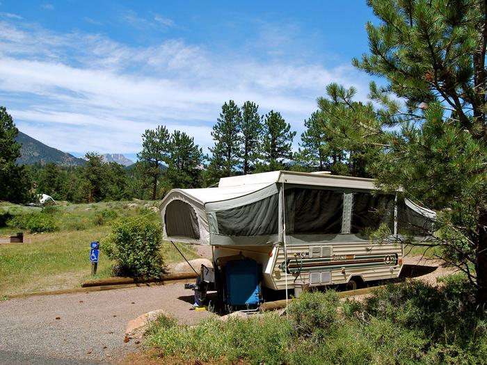
Camping Reservations
Reserve your campsite at these camping areas:
Hiking Trails
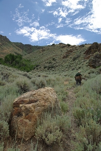
Looking for nice hiking areas to take a hike? Choose from these scenic hiking trails:
Related Link(s)
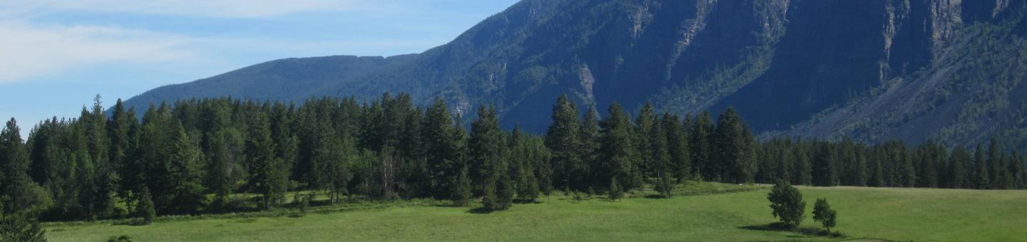
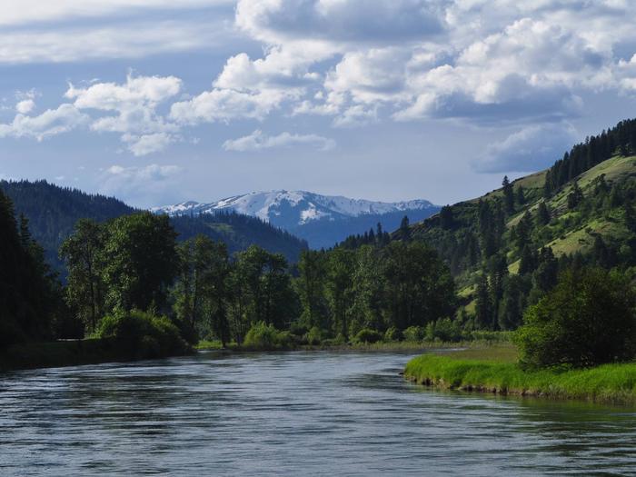
Idaho Panhandle National Forests
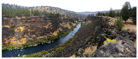
Endless Waters, Edges and Islands
From the shores of big lakes to the banks of winding rivers, the Idaho Panhandle National Forests create a tapestry of land and water in the handle of North Idaho.
Recreation opportunities on the IPNF can be viewed as occuring in 5 fairly broad geographic areas, each centered around one or more distinctive features. These areas are the:
- Priest Lake Area (Priest Lake Ranger District – flanking scenic Priest Lake and Upper Priest Lake)
- Lower Kootenai River Area (Bonners Ferry Ranger District – rugged mountains surrounding the Kootenai River as it flows through the northern panhandle)
- Pend Oreille Lake Area (Sandpoint Ranger District – centered around Pend Oreille Lake and its major tributaries – Clark Fork River, Lightning Creek, and Pack River)
- Coeur d’Alene River Area (Coeur d’Alene River Ranger District – comprised largely of the Coeur d’Alene river basin)
- St. Joe River Area (St. Joe Ranger District – comprised primarily of the St. Joe River basin)
On our web site you’ll find our recreation sites organized by these areas. So, note the area on our forest you’d like to stay or explore and then discover our recreation opportunites. Or, choose an activity and see where on the forest it is offered. Either way, we’re sure you’ll find exceptional recreation opportunities on the Idaho Panhandle National Forests.
The map below shows these areas in relation to the entire Idaho panhandle. These areas are also coincident with our 5 Ranger Districts: Priest Lake, Bonners Ferry, Sandpoint, Coeur d’Alene River, and St. Joe. Read more…