
Directions
Just east of Lava Hot Springs, Idaho, look for "Pebble Area" sign and turn left onto Blaser Highway/Old Highway 30. Go north on the paved highway 9 miles to Pebble Creek Road, known locally as Mike’s Place or Whiskey Mike’s. Turn left across railroad tracks on gravel Forest Road 036. Travel about 7 miles to the campground.
Pebble Creek Road is a narrow single-lane dirt road with limited sight distance and not suitable for the very large RVs (the tour bus size RVs that require overhead clearance due to their height and have limited turning capacity due to length, as opposed to a truck with trailer of the same length which has a tighter turning radius due to the hitch).
Phone
208-236-7500
Activities
BIKING, CAMPING, FISHING, HIKING, HUNTING, WILDLIFE VIEWING
Keywords
BSCC,Pebble Creek Campground,Big Springs Campground,BIG SPRINGS CARIBOU,CARIBOU-TARGHEE NF – FS
Related Link(s)
Overview
Big Springs Campground is nestled along the banks of Pebble Creek at an elevation of 6,500 feet, just 16 miles from Lava Hot Springs, Idaho. Visitors enjoy fishing and exploring local trails.
Recreation
Pebble Creek offers cutthroat and rainbow trout fishing. Big Springs Nature Trail begins in the site, offering an easy path along the creek.
The multi-use Boundary Trail, for hiking, biking, horseback and off-road vehicle riding, begins in the campground and accesses several additional local trails.
Facilities
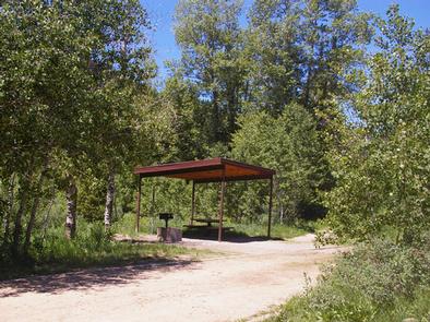
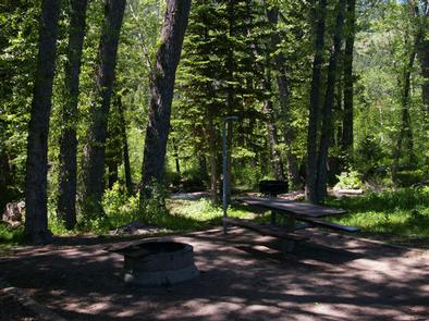
The campground contains one large group site that can accommodate up to 175 people with a shelter, tables, a campfire ring, grills and parking.
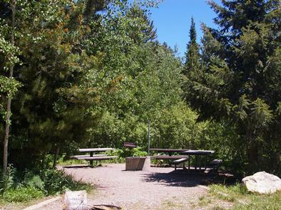
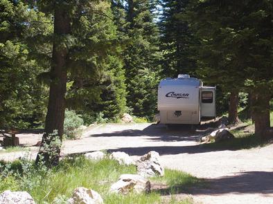
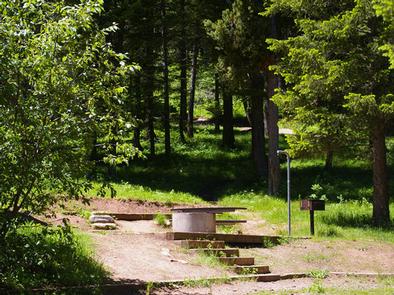
Several single and double sites are also available with tables, campfire rings and grills. Some sites have stairs between the parking spur and site pad. Single and double sites on the less shady Loop B have picnic shelters. Two equestrian sites are available with horse corrals and hitching racks.
Vault toilets and drinking water are provided. Firewood is available for purchase from the host. Security is provided by hosts and periodic county sheriff patrols.
Natural Features
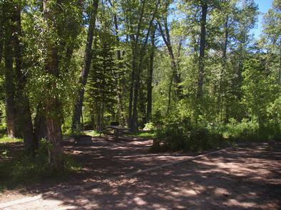
A Douglas fir forest towers over Loop A, offering partial shade. Loop B is situated among a grove of aspens which provide limited shade. Sagebrush, grasses and summer wildflowers dot the landscape.
Nearby Attractions
Lava Hot Springs is close enough for an exciting day trip. A natural hot springs soaking pool, Olympic-sized swimming pool, water slides and diving platforms provide fun for all ages. Two 9-hole disc golf courses are linked around the pool complex.
Tubing on the Portneuf River is also a very popular activity. Tube rentals are available at many locations in town.