
Directions
From I35, take Exit #55 and drive towards the city of Davis, OK. Once in Davis, go east on Highway 7 to the Chickasaw National Recreation Area you desire. Watch for the Chickasaw National Recreation Area signs to direct you to your selected area: The Point Campgrounds, Boat Ramp, and Picnic Area – Drive approximately 6 miles east of Davis and 4 miles south on Cooper Memorial Road. The loop is on the southwest corner of Arbuckle Lake.
Phone
580-622-7234
Activities
BIKING, BOATING, CAMPING, HIKING, HUNTING, VISITOR CENTER, WATER SPORTS, WILDLIFE VIEWING, DAY USE AREA, SWIMMING SITE
Keywords
TPCG,CHICKASAW NATIONAL REC. AREA,PLATT NATIONAL PARK,ARBUCKLE LAKE,LAKE ARBUCKLE,LAKE OF THE ARBUCKLES,CHICKSAW
Related Link(s)
Oklahoma State Road Conditions
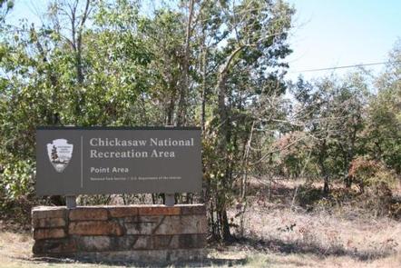
Overview
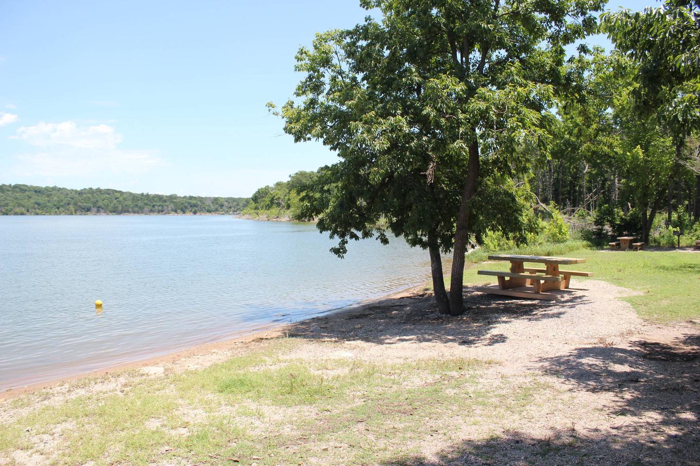
The Point Campground is located at the fun-filled Lake of the Arbuckles, which is considered a recreational oasis in south-central Oklahoma.
As part of the Chickasaw National Recreation Area, the Point impresses visitors with its diversity of natural resources. The area’s unique plants, spring waters and geological formations are unlike any in the surrounding territory.
Explore the prairie-landscape for a chance to see bison, white-tailed deer, opossum, gophers or black-tailed jackrabbits.
Recreation
Hikers, birdwatchers and wildflower enthusiasts enjoy exploring this diverse ecosystem.
The streams and lakes cater to boaters, swimmers, and anglers, and the Multi-Use Trail is enjoyable for hikers, bikers and horseback riders.
Hunting is also permitted in varying seasons.
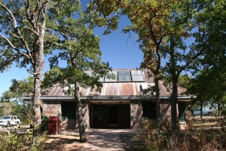
Facilities
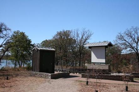
The Point offers more amenities than most of its neighboring campsites, including electric and water hookups. It’s great for RV, trailer or tent camping.
Natural Features
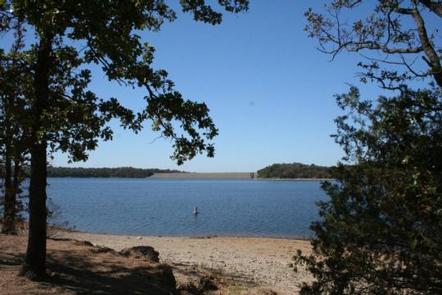
Chickasaw lies in a zone where the eastern deciduous forest and western prairies converge. The park’s flora and fauna represent both environments, as well as a unique transition environment. Lake of the Arbuckles is the largest lake in the park covering 2,350 acres.
Nearby Attractions
Try Little Niagara, a favorite freshwater swimming hole.
The Travertine Nature Center is a wonderful resource to view nature exhibits, meet live animals on display and listen to rangers’ presentations.
If visitors are in need of supplies, groceries or boat rentals, head to the neighboring city of Sulphur.