
Directions
The campground is 87 miles north of Spokane, Washington. Take U.S. Highway 395 north to the town of Kettle Falls, turn south on Boise Road at Barney’s Bridge and travel three miles to the campground.
Phone
509-754-7889
Activities
BIKING, BOATING, HISTORIC & CULTURAL SITE, CAMPING, INTERPRETIVE PROGRAMS, FISHING, HIKING, PICNICKING, VISITOR CENTER, WATER SPORTS, WILDLIFE VIEWING, DAY USE AREA
Keywords
KETT,OLD KETTLE,LOCUST GROVE,LAKE ROOSEVELT
Related Link(s)
Washington State Road Conditions
Overview
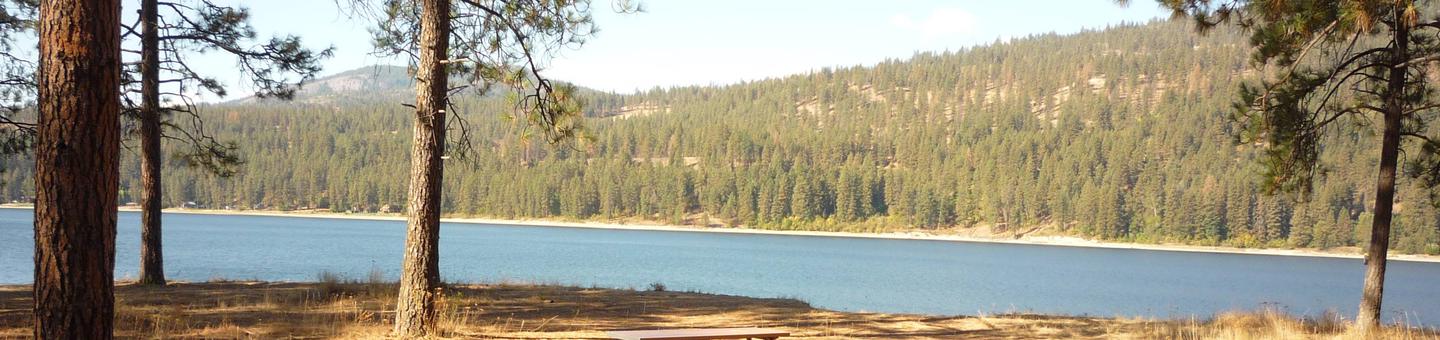
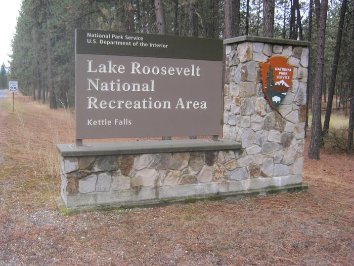
Kettle Falls Campground is on the northern section of Lake Roosevelt and convenient to the town of Kettle Falls. The facility has a multi-lane boat launch, making it popular among boaters, fishermen and water sports enthusiasts. The Kettle Falls area is rich in the history of American Indians as well as the fur trade; campers can learn more at a park visitor center less than 10 miles away.
Lake Roosevelt is a 130-mile lake on the Columbia River created by the Grand Coulee Dam. Named after President Franklin D. Roosevelt, it is part of the Lake Roosevelt National Recreation Area and managed by the National Park Service.
Recreation
The boat launch is directly within the facility, so many recreation activities can take place from the campground, including boating, fishing and water skiing. However, the lake is not very accessible to swimmers since there is a rocky descent from the campground to the water.
Facilities
There are approximately 29 first-come, first-served sites designated in this campground; others may be reserved. The facility is conveniently located near the town of Kettle Falls and within 10 minutes of grocery stores and other amenities. The visitor center is also in town.
Natural Features
The campground is forested and overlooks Lake Roosevelt. Much of the water originates from glaciers and snow in the cold, high Canadian Rockies, although lake temperatures are pleasant to swim in during summer. The area is abundant with wildlife, including moose, elk, deer and bald eagles. Dozens of species of fish inhabit the lake, such as walleye, bass, rainbow trout, salmon and sturgeon; fishing for sturgeon is now allowed during a limited season.
Nearby Attractions
The historic St. Paul’s Mission, which is run by the National Park Service, is located about two miles from campground. Also in the area are Fort Colville and the Hudson Bay Company Post on the Upper Columbia.
Sherman drive, a scenic loop, is nearby.