
Directions
Take Highway 2 west of Spokane for 65 miles to the town of Wilbur, Washington. Turn north on Highway 174 (follow road signs). Travel 19 miles and turn right at the sign for Spring Canyon Campground.
Phone
509-754-7889
Activities
BIKING, BOATING, HISTORIC & CULTURAL SITE, CAMPING, INTERPRETIVE PROGRAMS, FISHING, HIKING, HUNTING, PICNICKING, WATER SPORTS, WILDLIFE VIEWING, DAY USE AREA, SWIMMING, CANOEING, WATER ACCESS
Keywords
SPCA,GRAND COULEE DAM,LAKE ROOSEVELT,CEMETERY CAMPGROUND
Related Link(s)
Washington State Road Conditions
Overview
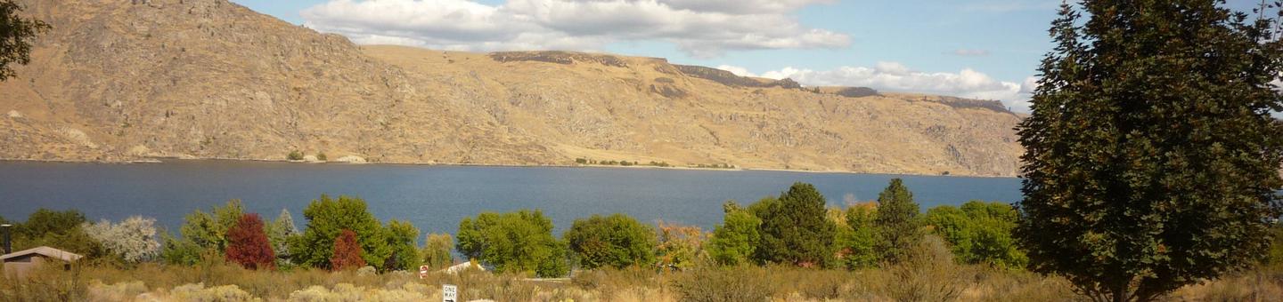
Spring Canyon Group Site is perfect for large families and groups of boaters or fishermen. Located on the shoreline of Lake Roosevelt, it offers ample opportunity to get out on the water or relax on the beach and take in the gorgeous lakeside scenery.
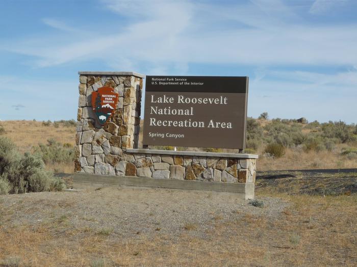
The 130-mile long lake is a feature of the Columbia River created by the nearby Grand Coulee Dam. The lake is named after President Franklin D. Roosevelt and is part of the Lake Roosevelt National Recreation Area, managed by the National Park Service.
Campers have the convenience of a day-use swimming area, a boat ramp within the facility and plenty of space to sit back and soak up the summer sun and cooler days of spring and fall.
Recreation
Lake Roosevelt provides numerous opportunities for outdoor recreation. Families can cool off in the day-use swimming area located approximately 300 yards downhill from the campground. The swimming area also has a playground. Boating and water sports abound.
For campers looking to take a break from the lake, the Bunchgrass Prairie Nature Trail offers a short walk through the sagebrush.
Facilities
The group campground has two sites within the main Spring Canyon Campground that accommodate up to 25 people each. A boat ramp and docks within the facility provide easy access to the water. Trailers may use the site, but there are no hookups. The campground is open year-round, and the group site is reservable March through November. The water is shut off during winter.
Natural Features
One of the group sites is located on the waterfront; the other is within a short walk of the lake and has a beautiful view of the water. Lake temperatures are comfortable for swimming during the summer, even though much of the water originates from glaciers and snowmelt in the cold, high Canadian Rockies.
The lake area has abundant wildlife and birds, including eagles and osprey. Dozens of species of fish inhabit the lake.
Nearby Attractions
The famous Grand Coulee Dam is only three miles from the campground. A laser light show is displayed nightly on the dam from Memorial Day weekend through September 30. Additional services are available in the adjacent town of Grand Coulee.
Spring Canyon is a short drive from the Lake Roosevelt National Recreation Area Headquarters, which provides visitor information.